Holiday Auction is Live!

Observation: Uintas

Observation Date
11/19/2026
Observer Name
Slesser
Region
Uintas
Location Name or Route
Wolf creek Pass Neeley basin
Weather
Sky
Obscured
Precipitation
Moderate Snowfall
Wind Direction
East
Wind Speed
Moderate
Weather Comments
Minimal if any snow driving past the town of Woodland. Minor accumulation as you drive up the road with a noticeable difference around 8500 ft. Snowing at a precipitation rate near S1 throughout my travels with moderate winds out of the ESE.
Snow Characteristics
New Snow Depth
3"
New Snow Density
Low
Snow Surface Conditions
Powder
Snow Characteristics Comments
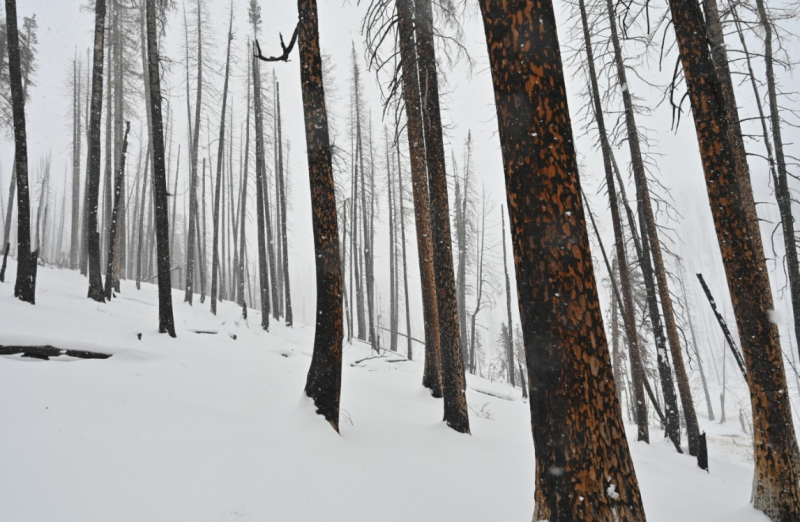
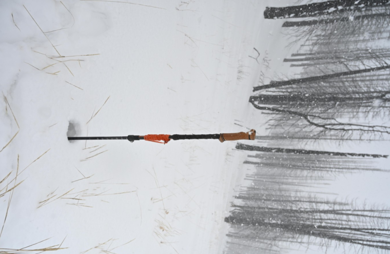
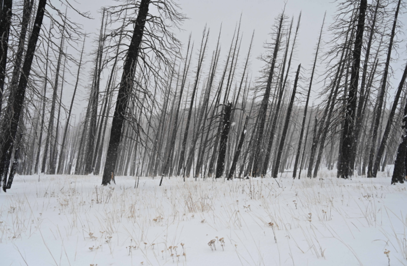
The average total depth was around a foot with wind blown ribbons of snow that had accumulated up to near 2 ft. Having dug a quick pit and numerous other hand pits on East and NNW slopes both had similar characteristics. A deteriorating crust and moist rounding facet layer just above the ground then mostly fist hard snow to the surface. It seemed like 3-4 inches of new snow with a minor density change at the new/old snow surface. Below that looked like the storm from earlier this week. I didn't do any stability tests, the natural hazards seemed to out weight the avalanche danger. I stuck to about the lowest angle slopes I could and the grassy pitches proved to be descent. Although I wouldn't give it much better than survival skiing. If this storm plays out as we all hope things will improve rapidly.
Red Flags
Red Flags
Wind Loading
Red Flags Comments
Stumps, Rocks
Avalanche Problem #1
Problem
Wind Drifted Snow
Problem #1 Comments
Wind's were blowing moderately and gusting. I imagine some wind slab development was in progress in the right location.
Snow Profile
Aspect
Northwest
Elevation
9,300'
Slope Angle
15°
Today's Observed Danger Rating
Moderate
Tomorrows Estimated Danger Rating
Considerable
Coordinates