

Observation Date
11/18/2026
Observer Name
mark white
Region
Salt Lake » Park City Ridgeline » Monitors » South Monitor Bowl
Location Name or Route
South Monitor Bowl
Comments
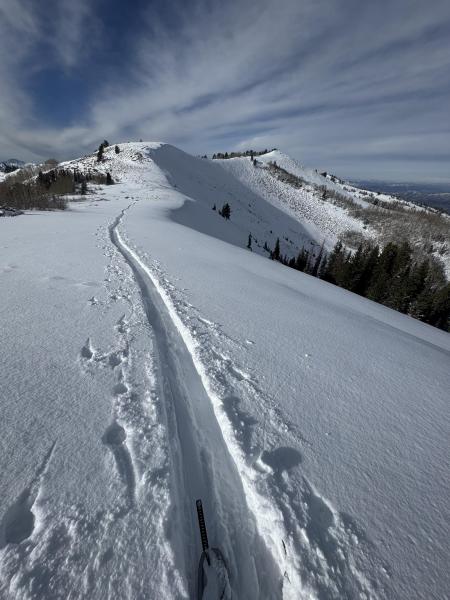
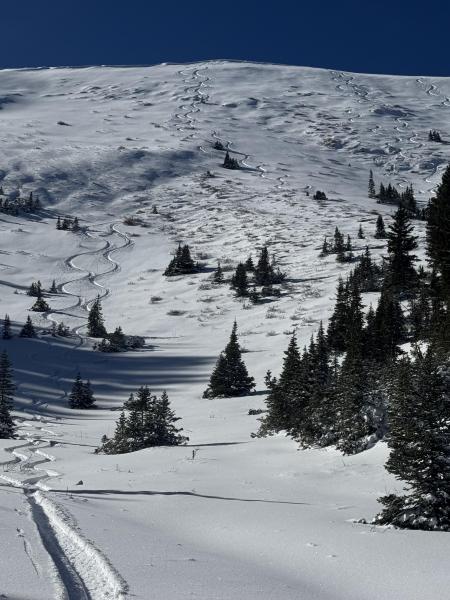
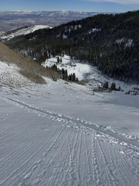
First time on the PC Ridgeline this season, total snow depth on the N is around 18 inches with most of it being from the last 2 storms. The snowpack on the PC Ridgeline is shallower than upper BCC and LCC, but in my opinion at the moment it is stronger. In S Monitor Bowl the more E facing terrain does not have any weak snow underlying the new snow from the last couple storms, if it does has old snow it’s a heat crust at the ground interface or damp snow at the ground. There is faceted snow under the more northerly facing, shady part of the the bowl but it’s only in the top part of the slope and in my opinion the weak layer is not connected enough to cause a large avalanche, but maybe a more pockety scenario. I was not seeing any thing like the weak faceted snow on top of a crust like I was seeing in upper Cardiac on Sunday. The wind was cranking from the S-SE in the afternoon loading the northerly facing terrain and as most of us know the wind can add weight to a slope way faster than storm snow, so that might be something you wanna be aware of and look out for tomorrow. Photos: coverage and the E facing part of the Bowl with no old snow underlying it.
Today's Observed Danger Rating
Moderate
Tomorrows Estimated Danger Rating
Moderate
Coordinates




