Observation: Catherine's Pass

Observation Date
11/15/2026
Observer Name
Gagne/Frey
Region
Salt Lake » Little Cottonwood Canyon » Catherine's Pass
Location Name or Route
Catherine's Pass Area
Weather
Sky
Few
Wind Speed
Calm
Weather Comments
Warming temps reaching well-above freezing by mid-day. Windless.
Snow Characteristics
New Snow Depth
5"
New Snow Density
Medium
Snow Surface Conditions
Powder
Snow Characteristics Comments

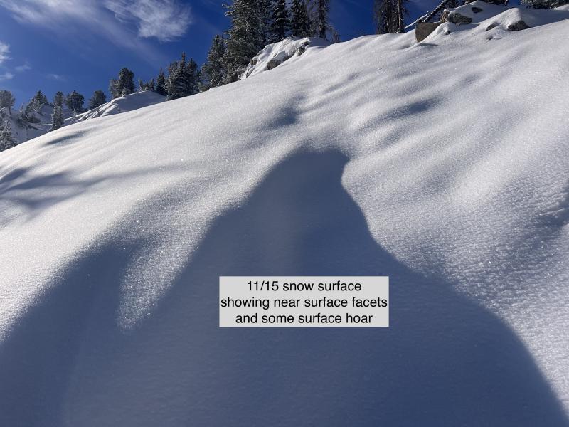
10-15 cms (4-6") of settled storm snow from Saturday that developed near-surface facets and some surface hoar overnight. Warm temperatures, wind. and cloud cover the next 36 hours should help heal any weaknesses near the surface ahead of Tuesday's storm.

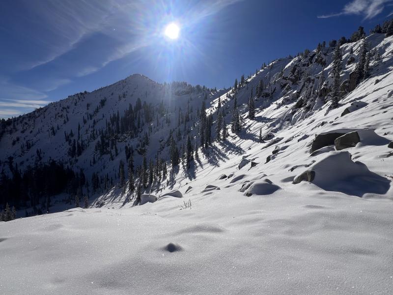
Snow depths are very shallow on south and west aspects: < 30 cms (1'). Northerly aspects above 9,800' hold about 60 cms (2').

Comments

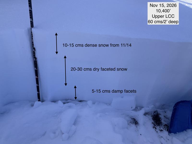
Travel today was the well-worn, early season route to Catherine's Pass to Point Supreme. As expected, snowpack and coverage is so variable in the early season. On non-solar aspects, there are some crusts, with facets adjacent to the crusts. Some slopes have up to 60 cms of settled snow, with the weakest snow a layer of facets 15-30 cms thick that is just underneath the Saturday 10-15 cms of new snow.

Saturday's storm wasn't enough of a load to affect any weak layers, but storms this coming week may be enough to create a rising avalanche danger on slopes facing NW through E above 9,500' where there is enough existing snow.

Photos:

- Thin conditions on Sunset Peak

- Current snow surface

- Snowpack showing weak facets sitting just underneath the new snow.
Video
Today's Observed Danger Rating
None
Tomorrows Estimated Danger Rating
None
Coordinates