Observation: Moab

Observation Date
10/31/2026
Observer Name
Chris Benson
Region
Moab
Location Name or Route
Laurel Hwy
Weather
Sky
Overcast
Wind Direction
Southwest
Wind Speed
Light
Weather Comments
Overcast skies and building wind from the SW. Some snow was being transported at ridge top. Overall pretty warm.
Snow Characteristics
New Snow Depth
2"
New Snow Density
High
Snow Surface Conditions
Wind Crust
Rain-Rime Crust
Damp
Snow Characteristics Comments
Afternoon/evening tour to see how things have changed in the last few days. Lots of melting has occurred, so more walking than skiing (maybe should have gone for a bike ride instead?). Was out of town for the last few days, but guessing melting was due to temps (duh) and probably some rain up to about 10,800'. Above that, the most recent small pulse of moisture seems to have laid down a 3-5 cm thick dense layer of rime-like snow. In more wind exposed areas- my tracks from the 27th were filled-in and the combination of a little recent snow and some wind changed the snow surface. Ski quality was worse than earlier in the week as the new snow/ wind crust was a bit punchy.
Red Flags
Red Flags
Rapid Warming
Comments
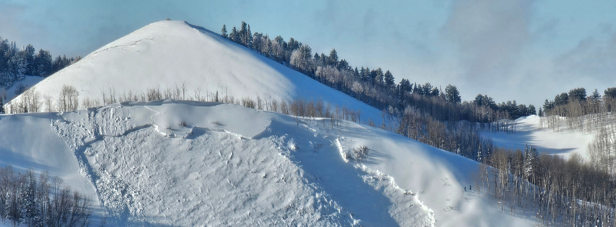
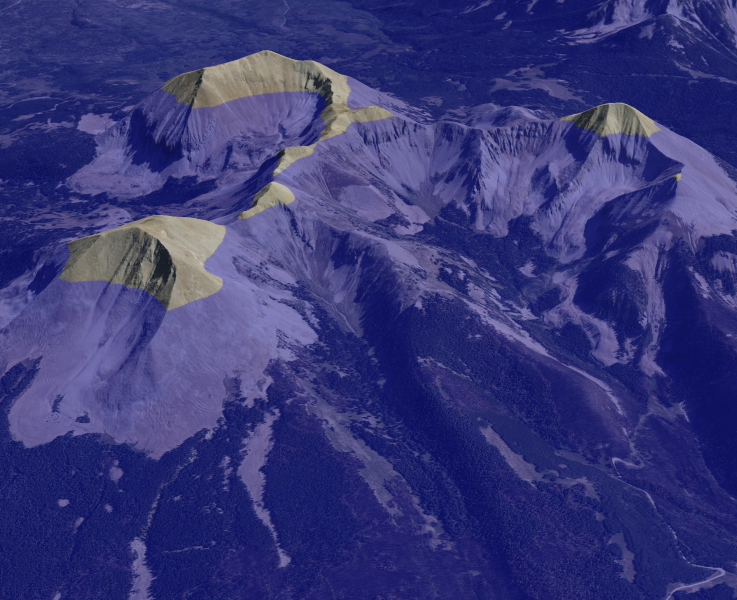
While I didn't have time to dig yesterday or take photos- it was good to get out ahead of the incoming storm. Model guidance is suggesting a good pulse of precip today into tomorrow (2-3"), the rain/snow line may go up to 12,000'. I uploaded a visual of what that elevation looks like in the middle group. Things will hopefully get colder and the precip will turn to snow later tonight. It will be interesting to see what happens to the snowpack as it looks like much of the lowest elevations will melt and the upper elevations may get a considerable soaking before the temps start to produce snow. On another note-a fair amount of downed trees from the last few weeks- and with today's winds I might expect we see some downfall. Hopefully the wind (gusting 30-45mph today) subsides as the flakes start to fall.
Coordinates