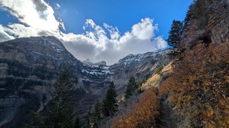
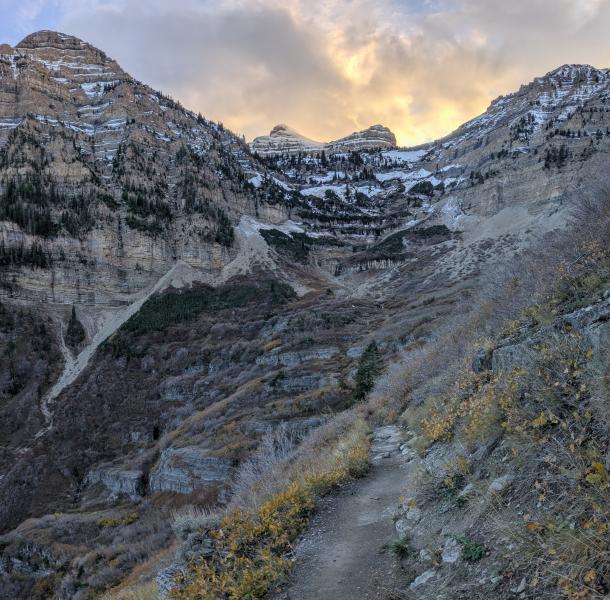
- At 9,000’ I found a spotty 1-2 inches of crusty snow in the shade.
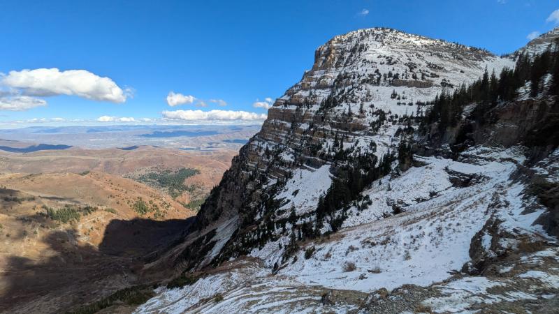
- At 9,500’ snow coverage had increased significantly; in the shade I found more snow than bare ground.
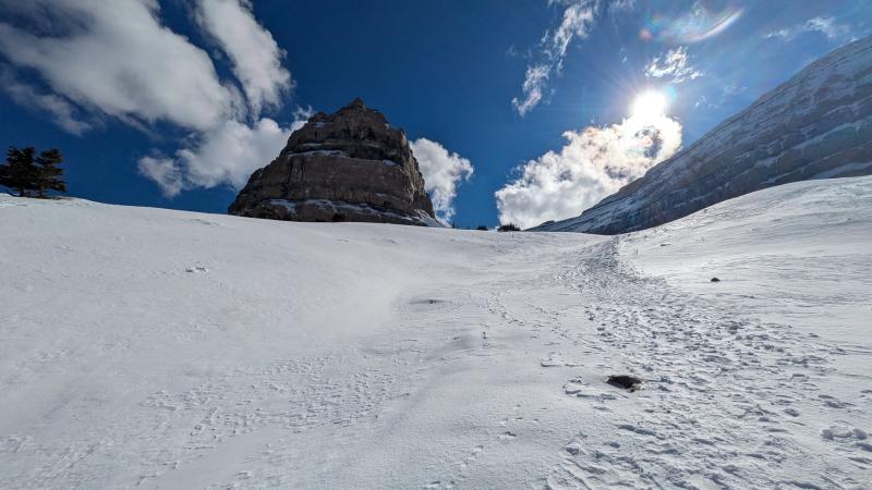
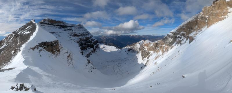
- By 10,000’ it was feeling like winter, with much of the landscape covered in snow and ice.
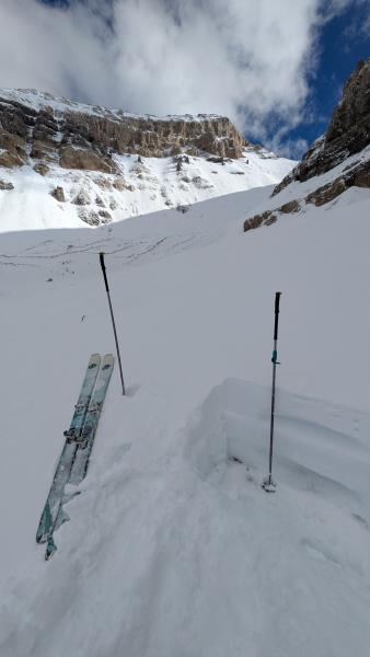
A pit dug at 10,700’ on a NE aspect in a location with some wind-loading revealed a 2+ foot thick snowpack (see photo). The “hurricane surface” (what I’ve been calling the now-frozen ice block from Hurricane Rachel) was 6-8 inches thick here, and difficult to dig through and to penetrate with a probe (knife hard). Below this surface, I found 8-10 inches of moderately dense (1 finger hard), 2-4mm rounded grains.
The most distinctive feature of the current snowpack is how stout and strong the snow that fell from Hurricane Rachel storms has become. This snow fell roughly October 10-15, initially with very high rain lines that descended over the period as the storm cooled. This once-saturated snow has frozen into a formidable ice block that is capping the landscape in many places. The surface of this iceblock is rough, rugged, and icy. In my limited observations, the 3-4 inches of dense snow and graupel that fell October 22-25 seems to be well-bonded to this surface.
I didn’t see much for ice forming until I got up to ~10,000’. Smears of ice are forming in many places on the ENE-facing headwall below the glass house. These looked thin and were delaminating and falling as I traveled. There is a lot of water moving through the landscape, we just haven’t had cold enough temps.