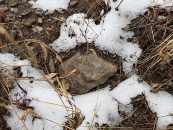
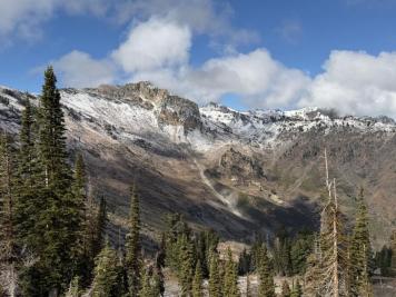
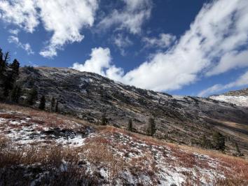
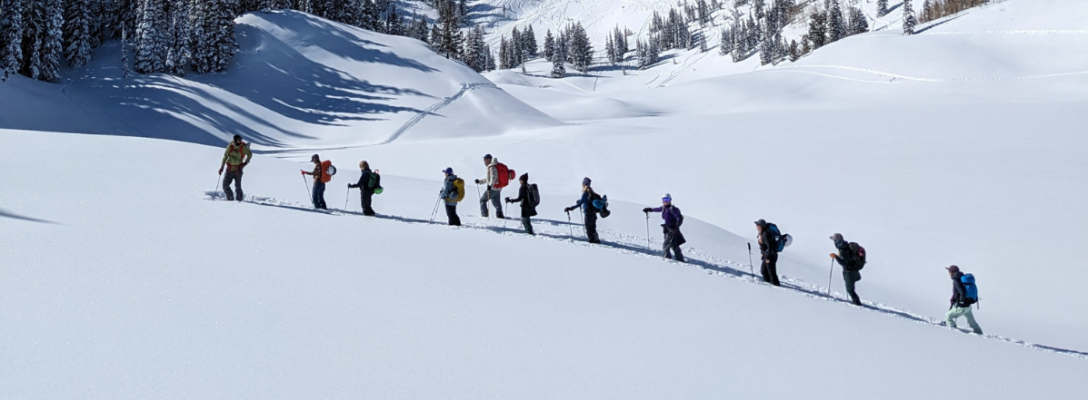
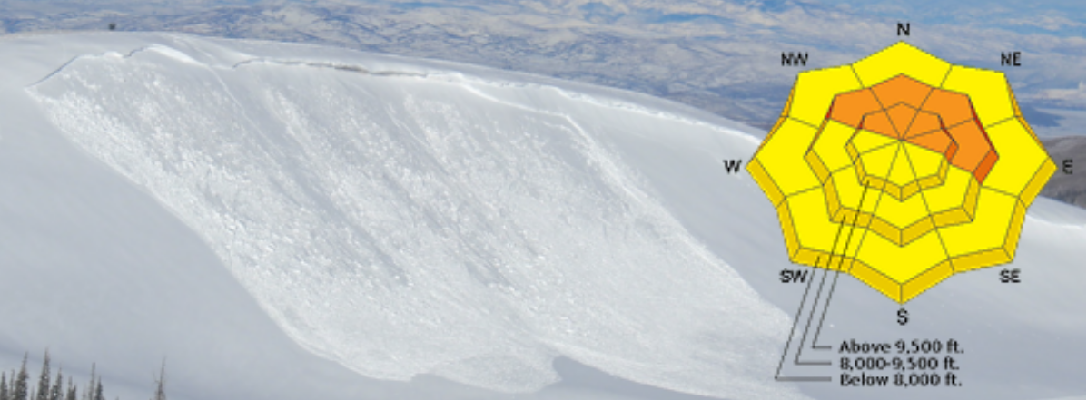
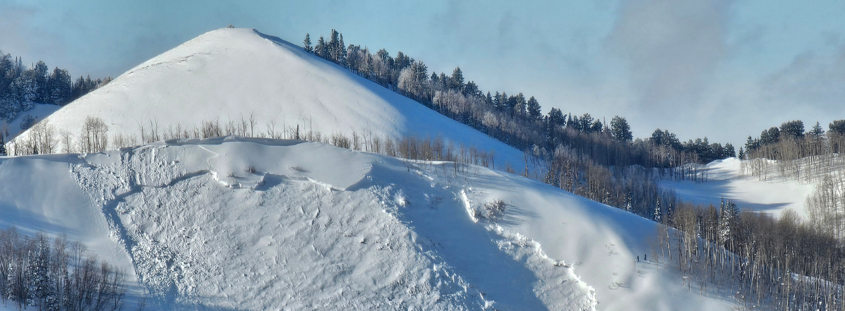
Rain/snow line from the storm appeared to get as low as 8.5-9k feet overnight with totals of a trace on the lower end of that elevation band to an 1" at 9.5k. Snow was damp and rapidly melting with the heat of the day, emerging sunshine, and wet warm ground(pic 1). I sat listening to the sound of it melting as it dripped from the trees on the ridge rimed on from west/southwest winds with the storm overnight. I expect every bit of the snow to be melted by the end of the weekend and maybe even end of day. I watched the snow melt up the elevation in real time on the east face of Willard Peak(pic 2). Even the north face of Ben Lomond Peak at 9.8k was melting quickly as I descended by 2pm(pic 3).