Observation: Wellsville Mountain Wilderness

Observation Date
3/13/2026
Observer Name
Richie Schumacher
Region
Logan » Wellsville Mountain Wilderness
Location Name or Route
Wellsville Mountain Wilderness
Weather
Sky
Scattered
Wind Direction
Southwest
Wind Speed
Moderate
Weather Comments
Temps at the TH at 0700 were in the 40s*F with light SW winds and few clouds. As the day progressed the winds persisted and were moderate gusting strong at mid and upper elevations and light gusting moderate at lower elevations and made for very inhospitable conditions on ridge lines. Temps warmed significantly with surface snow on all aspects and elevations, except the highest, protected, north facing terrain, feeling the warmth. Skies increased to scattered with some cool cloud formations seen (picture). The winds seemed to keep the heat off the snow at the beginning of the day, but right around mid day, the temps seemed to spike significantly and snow surface went from crusty to wet quickly.
Snow Characteristics
Snow Surface Conditions
Dense Loose
Wind Crust
Melt-Freeze Crust
Rain-Rime Crust
Damp
Snow Characteristics Comments

We saw a variety of mostly moist to wet snow conditions today with some small patches of dry snow up high in protected areas that was useful to get stuck on skis and skins, but not much else. The day started with firm snow surfaces that lasted most of the morning, but by about 1100am things started to turn quickly and anything touched by the sun and not high and true north turned over and became moist and wet. Rollerballs, pinwheels, and small point releases at skis were noted on exit at mid and lower elevations. Not much corn snow to be farmed as I suspect the lack of lengthy thaw/freeze cycles has kept surface grains small and when hit by the sun and high temps seems to be becoming wet quickly and leaving minimal corn to be found.

Snow levels are high with skiable snow starting around 7500-8000', and diminishing quickly below 8500'. We were able to put skis on around 7000' on the approach and pick our way thru alternating snow and dirt fields (picture).

Red Flags
Red Flags
Recent Avalanches
Rapid Warming
Red Flags Comments
Natural wet loose avalanche on SE at 9100' on the Wellsville cone (see avalanche observation) witnessed at 1250pm originating from rock outcropping and moving quickly due to rapid warming. widespread old wet loose and cornice fall avalanches noted, likely from yesterday or the day before.
Comments

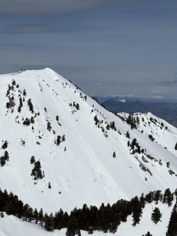
Today was a tricky day in the Wellsvilles as the stout winds, hot sun, soft overnight refreeze, and scattered clouds made for a hard to predict thaw cycle that never really seemed to be in line with our plan, which was to ski the cone. Due to the uncertainty and still very firm conditions upon gaining the ridge, we decided to ski some lower elevation (below 8000') east facing runs that were already sloppy and variable by the time we made it back down. We then slipped into pine canyon with eyes on chute in the north fork drainage above 9000' and upon gaining the ridge witnessed the start and full run of the avalanche on the cone (picture). We skied an east facing run in the chute at about the same elevation as the cone and had minimal signs of wet activity with only small roller balls. I am thinking the cone may have not had a hard refreeze overnight due to winds and mild temps along with the SE exposure and consistent pitch of that slope acting like a catchers mitt for the sun resulted in the only natural activity we saw all day. We did note many old (last 1-2 days) wet loose avalanches originating from trees, cliffs, and cornice fall (picture). Identifying the uncertainty in surface conditions we had in the decision to ski the cone led us to switch to plan B, which the mountains seemed to show us was a good decision.

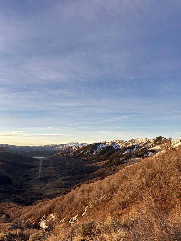
Picture 1: general lower elevation conditions

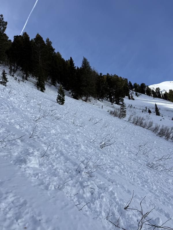
Picture 2: lots of wet loose debris in Pine Canyon

Picture 3: Cone wet slide

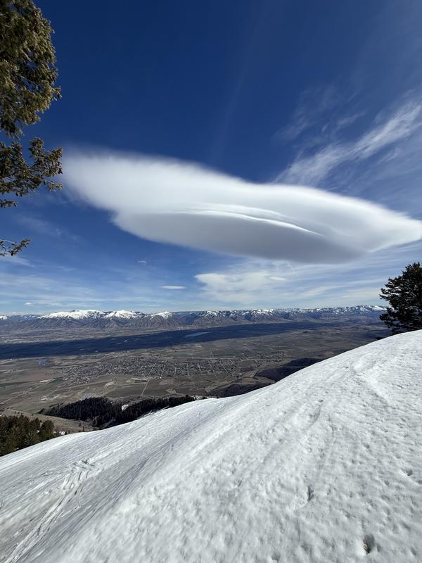
Picture 4: Lenticular cloud

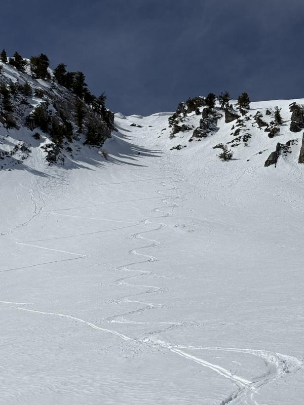
Picture 5: A lot of effort and decision making on a tricky day went into these turns

Today's Observed Danger Rating
Moderate
Tomorrows Estimated Danger Rating
Moderate