Observation: Laurel Highway

Observation Date
2/19/2026
Observer Name
Trenbeath, Garcia
Region
Moab » Laurel Highway
Location Name or Route
Laurel Highway
Weather
Sky
Scattered
Wind Direction
Southwest
Wind Speed
Light
Weather Comments
A proper cold and mostly clear winter day after a storm cycle that brought mostly wind and an accumulated 8" of snow. Mostly light winds were a welcome relief after 2+ days of sustained southwest winds in the 30-40 mph range with gusts in the 50's.
Snow Characteristics
Snow Surface Conditions
Powder
Dense Loose
Snow Characteristics Comments

8" of snow during the week did freshen things up but it was blown wildly, especially during the first 4". The second wave laid down more evenly but we still encountered plenty of areas of wind stiffened surface snow interspersed with loose powder, even below treeline.

Red Flags
Red Flags
Recent Avalanches
Wind Loading
Collapsing
Poor Snowpack Structure
Red Flags Comments
Lots of red flags out there. Most noteworthy was a large, D3 avalanche that Dave was able to intentionally trigger along Laurel Ridge into Horse Creek (detailed in a separate report). No natural avalanches were observed. We observed isolated collapsing and soft slab formation on north aspects below treeline, and observed heavily wind loaded slopes near and above. Our poor snowpack structure is well documented but most of the pack prior to this storm cycle was faceted through to the ground. Winds this week have built slabs 1-3' thick on top.
Avalanche Problem #1
Problem
Persistent Weak Layer
Trend
Increasing Danger
Problem #1 Comments

The underlying snowpack is comprised of multiple faceted layers on northerly aspects and it's now overloaded with wind drifted snow. We've been tracking a layer of near surface facets that were buried on February 11 which has been the immediate layer of concern. We've been expecting avalanches to fail there first with the possibility of stepping down into facets/depth hoar beneath the Christmas Rain Crust. The avalanche we triggered in Horse Creek did both. With more snow in the forecast tonight, the danger will likely increase.

Avalanche Problem #2
Problem
Wind Drifted Snow
Problem #2 Comments

Without receiving much snow, the current avalanche problem is wind driven. Hard slabs of wind drifted snow, 1'-3' thick exist on northerly aspects near and above treeline. It is difficult, however, to conceive of a wind slab problem that won't step down into a buried persistent weak layer.

Comments

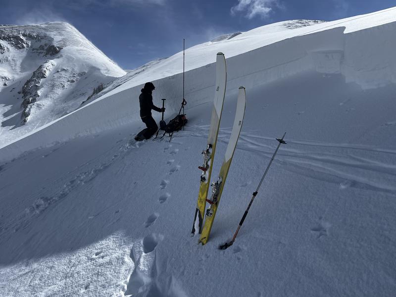
Dave Garcia doing a crown profile on the avalanche he intentionally triggered into Horse Creek.

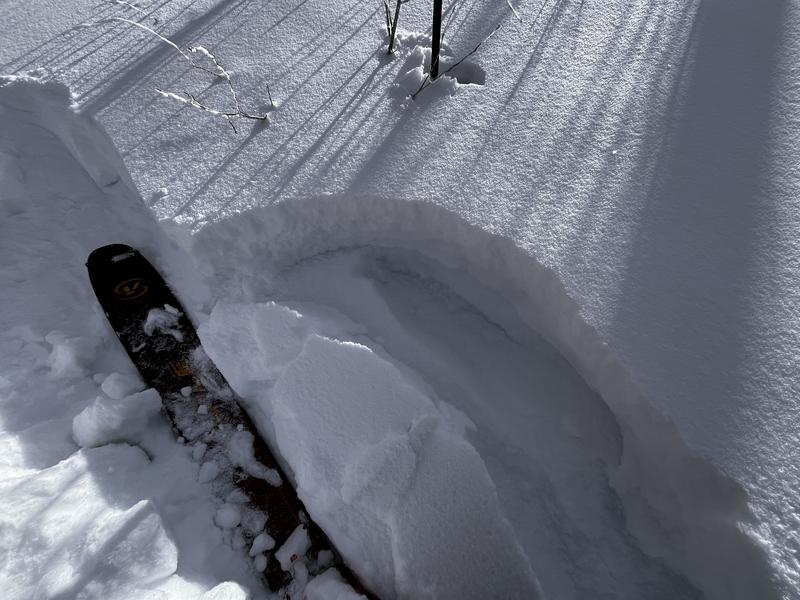
Collapsing and shallow soft slab formation failing on buried facets below treeline.

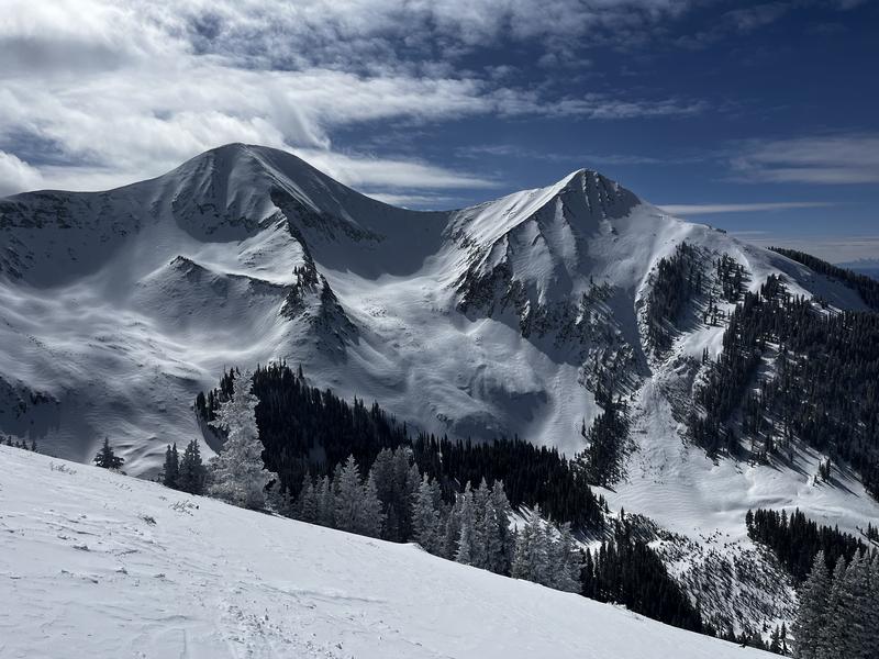
Heavily wind loaded N and E facing slopes in Gold Basin.

Today's Observed Danger Rating
Considerable