While the key player today was the wind, the bigger question is the persistent weak layer and what will happen once we add a load. We dug a pit along Powerline near 9400 feet on a north-northeast aspect. Total snow depth was about 120 cm, with a stout CERC crust at the ground. We found the new snow sitting atop a slightly firmer, 1F, 10 cm layer of facets and rounding facets, above much weaker fist hard facets. This was in a generally protected terrain feature and lines up with what other observers have been seeing in upper Little Cottonwood and parts of upper Big Cottonwood. It is very different from what folks are finding along the Park City ridgeline, where in some upper elevation terrain features the 1F layer does not exist.
Moving into the next loading event, I think everything above 9500 feet on north and northeast-facing aspects is weak and generally predictable. The bigger question is where this 1F layer exists, which mostly feels like it is below 9500 feet, though even there it is spatially variable. We were unable to get any results on the facets where we dug. The key takeaway heading into this next storm is that we have a weak snow structure with a lot of uncertainty in its overall spatial variability.
Hand hardness - NE Aspect - 9450' - Powerline
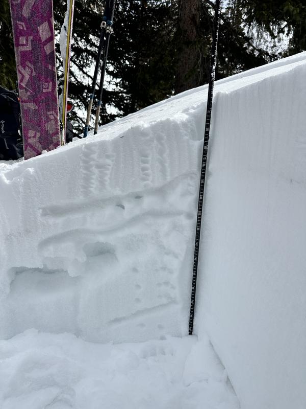
ECTX - Powerline - NE Aspect - 9450'

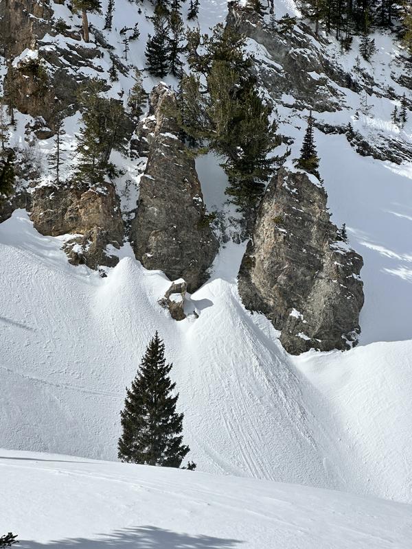
Small point release triggered by spindrift