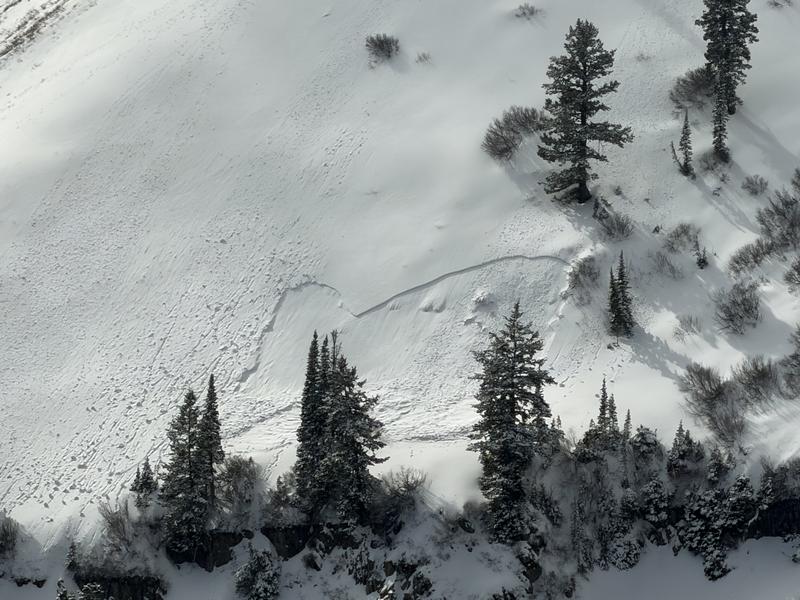
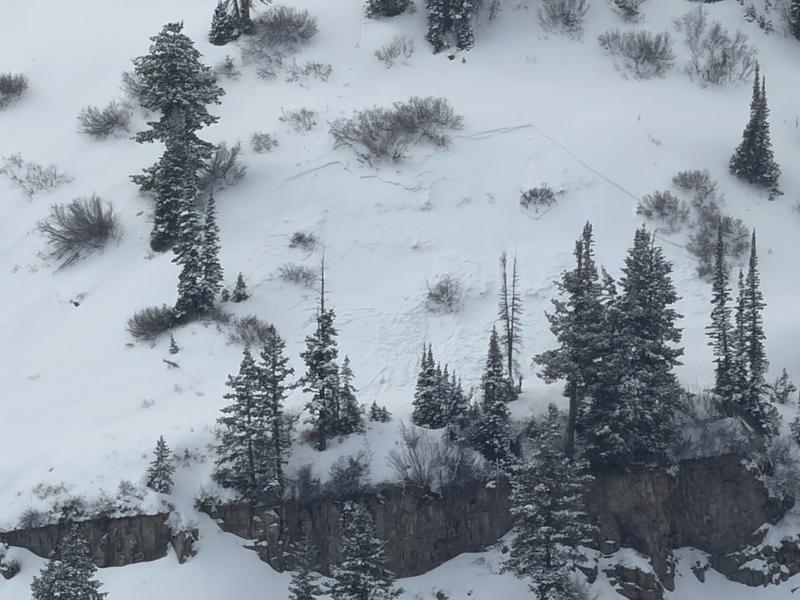
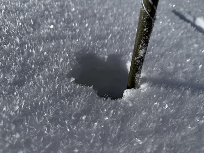
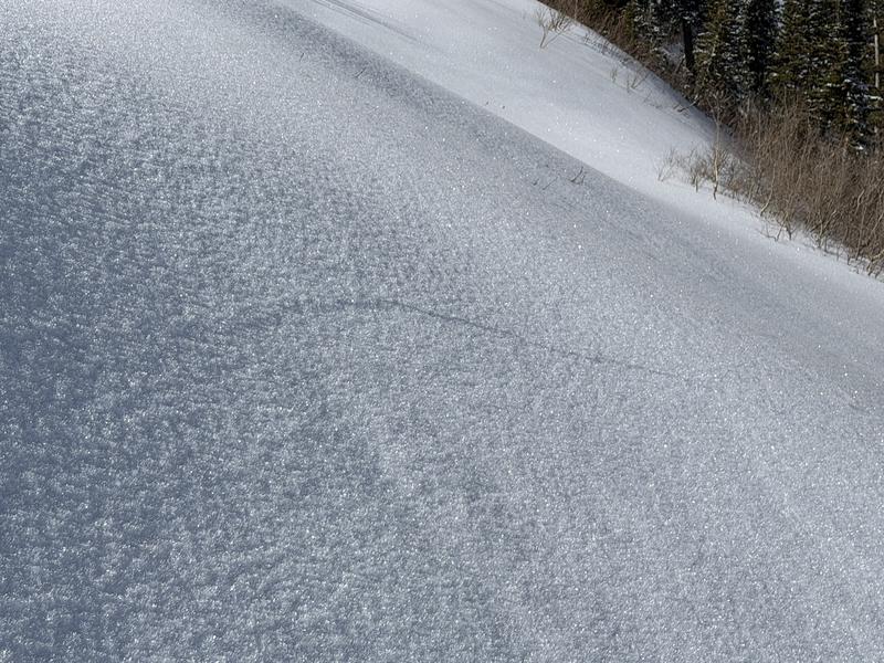
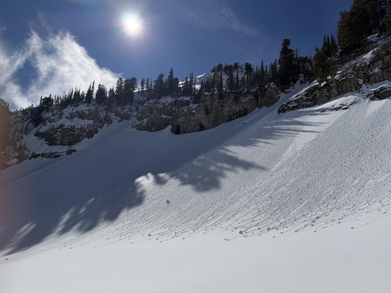
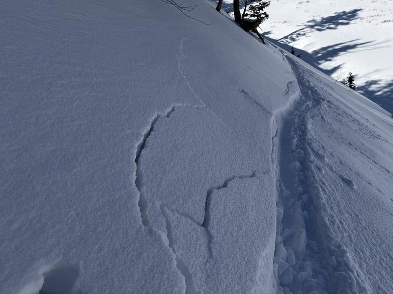
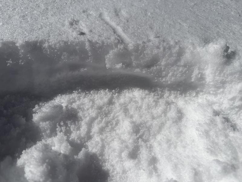
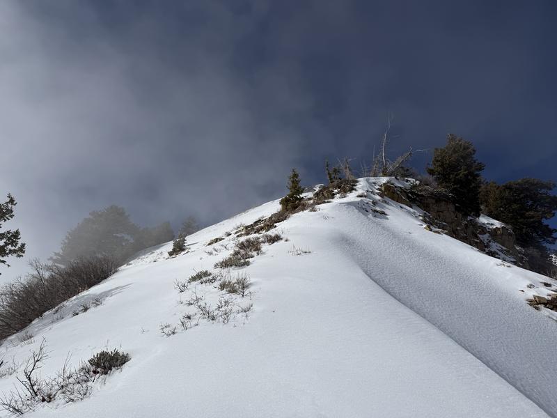
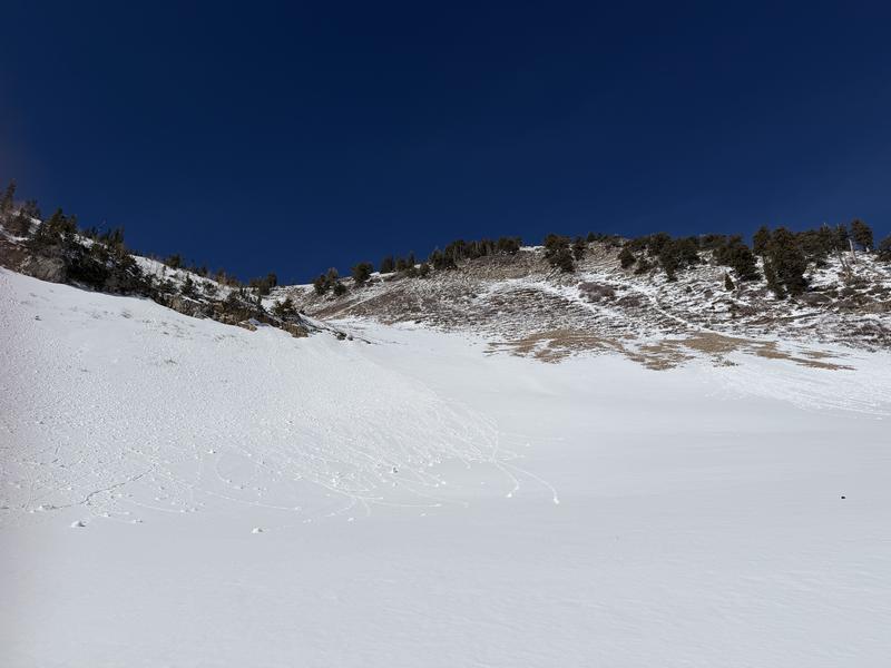
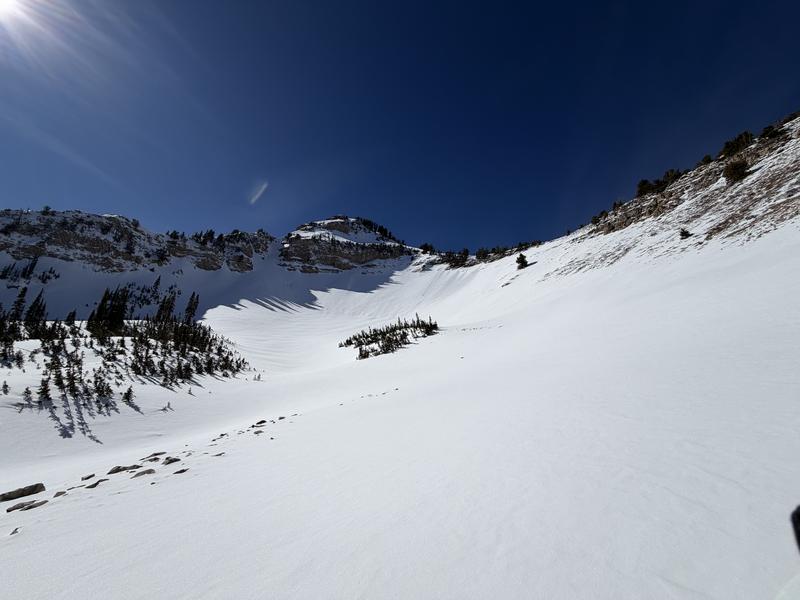
The current snowpack is about as varied as it could possibly be due to the prolonged high pressure during the Feb solar transition to slightly higher sun angles. The snow depth in sheltered basins at 9000' is on average 130cm. (This is on par with what we found in the Pika Cirque several weeks ago 130-160cm on the North end of Timp). Snow surfaces were blanketed in surface hoar crystals from 8000' all the way up to 10,000' with the largest between 8k-9k. There was 3-6" of fist hard decomposing snow from the Feb 12th storm sitting above firm MF crusts on the solar aspects, and 6-8" sitting above weak sugary facets on the polar aspects. The newer snow on the E-SSE was damp to wet as the day time heat increased. Surface WL activity was beginning on these solar aspects. Snow on the ridgelines and polar aspects was cold and dry with SH on top and weak facets below new snow. I felt a collapse on a NW slope below the ridgeline at 8600' within these facets. Northerly slopes also hold a mix of wind crusts and temp crusts below new snow and facets. These will create isolated areas of bridging as the next storm adds weight, however there are isolated areas on the same slopes that won't support much weight before avalanching due to the weakness of the facets below the new snow. ENE oblique slopes are forming RR crusts on ridges and in bowls. True South slopes have melted to rock and dirt up to 9800'. The weakest snow is in the deep gullies that drain west to east through the drainages. These have not filled in yet, and are holding higher RH and creating very large chained facets on the polar side of them. Collapsing was occurring on the north facing slopes above the gullies, and they will be easily triggered from below once a little more weight is added. The sunny sides of the gullies have very stout sun crusts with 3-6" of damp snow sitting on top. There were two WS-N-R1D1-I in Slide Canyon at roughly 8300' on NE faces. The mid elevations had stout MF crusts created even on northerly slopes, so new snow might have a harder time bonding to steeper slopes in this mid elevation range due to the significant difference in hardness if PI rates come in on the high end.