Observation: Monte Cristo

Observation Date
2/13/2026
Observer Name
Kaufmann
Region
Ogden » Monte Cristo
Location Name or Route
Monte
Weather
Sky
Broken
Precipitation
Light Snowfall
Weather Comments
Lingering storm continued to dump much needed moisture on the Northern Wasatch / Southern Bear River areas. Felt like sunshine was just around the corner all day before another cloud would pass over and drop some showers. What sun did make it through had definitive effect on new storm snow, moist. A lingering flow that seemed to hesitate before leaving in the evening added more snow than expected. Cloud cover can be seen waiting around before finally being blown out by NW flow in a review of satellite and radar imagery. 1115 at Trailhead: Still snowing S1 1300 at 8300': Broken Sky, -2C, Calm 1600 at 9000': Broken Sky, S1
Snow Characteristics
New Snow Depth
14"
New Snow Density
Medium
Snow Surface Conditions
Powder
Dense Loose
Snow Characteristics Comments

Elevation dependent storm dropped 14 inches at highest elevations (9000') but tapers sharply to storm totals around 6 inches near 8000'. New snow is not particularly well bonded at the interface though much less touchy than yesterday. I was unable to locate the mid-storm graupel from other obs but did find a weak crust in the upper snowpack that could have come from similar moisture pattern at lower elevation / milder part of the range. Overall good riding conditions and access is greatly improved, though still obviously thin.

Quick Pit for Structure Linked Below...

Red Flags
Red Flags
Poor Snowpack Structure
Red Flags Comments
Almost anything behaves like a slab over very weak old snow on polars
Avalanche Problem #1
Problem
Persistent Weak Layer
Avalanche Problem #2
Problem
Wet Snow
Trend
Increasing Danger
Snow Profile
Aspect
North
Elevation
8,300'
Slope Angle
10°
Comments

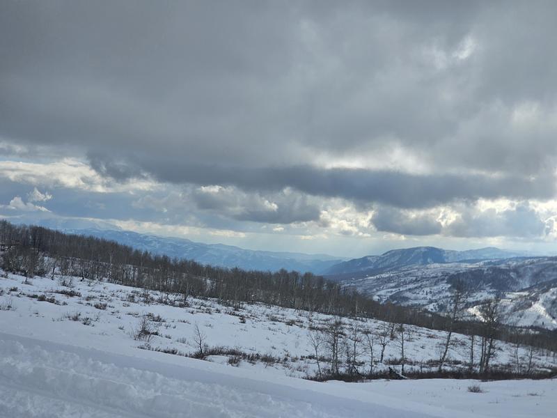
P1: Wx pattern of the day... scattered showers and a clearing regime (16:00)

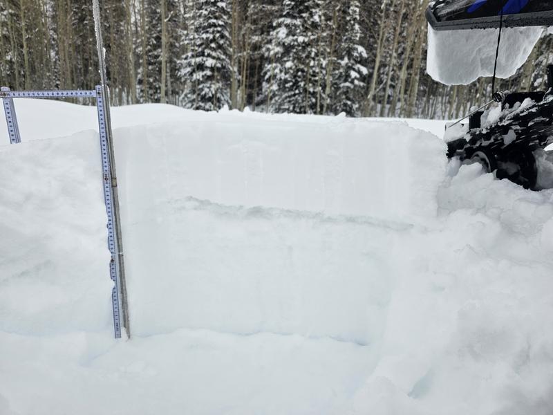
P2: Quick Pit with obvious weak snow (some VERY weak) below PPs

P3: Percolation column formation 93cm - 75cm through a layer of facets

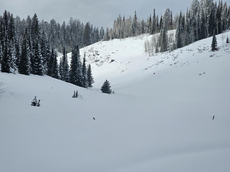
P4: Cover for deeper parts of the zone, S aspects still very thin as elevation decreases

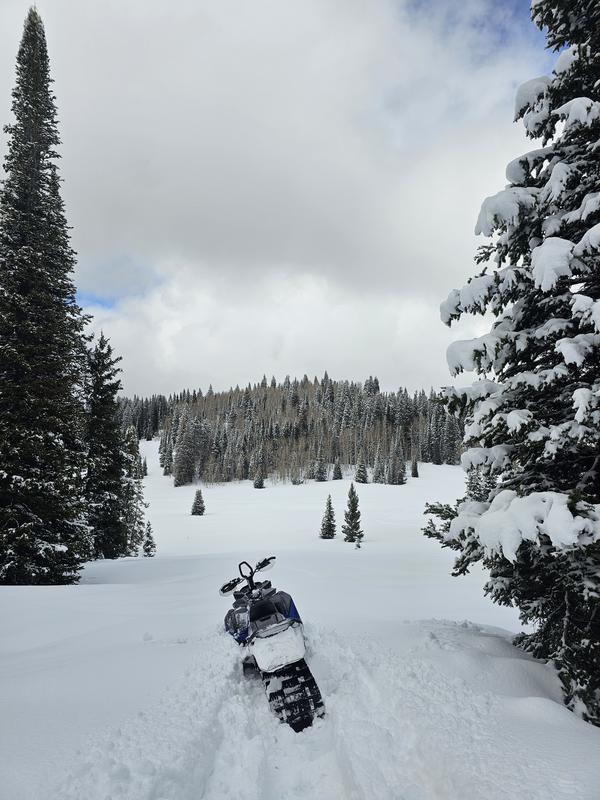
P5: Riding conditions

Today's Observed Danger Rating
Moderate
Tomorrows Estimated Danger Rating
Moderate
Coordinates
Snow Pilot URL