
Observation Date
2/11/2026
Observer Name
Katz
Region
Uintas » Wolf Creek Pass
Location Name or Route
Wolf Creek Pass
Comments
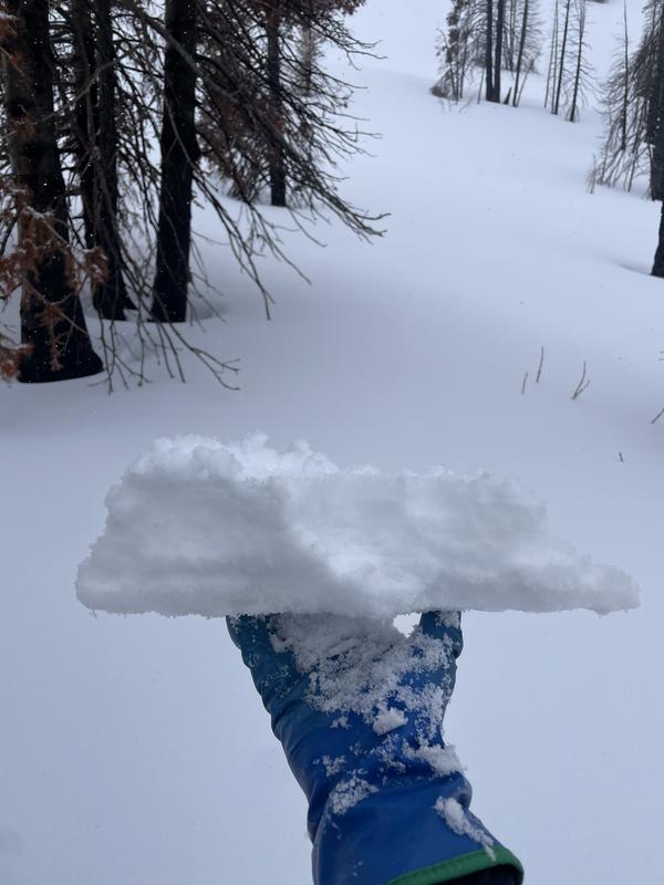
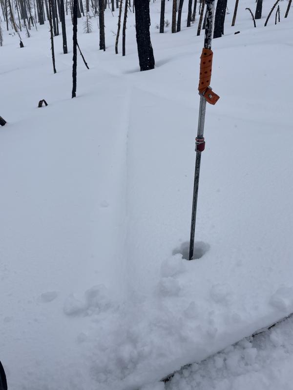
Throughout travels on HWY 35, new snow was observed as low as 7000', but melted by the early afternoon on solars and at lower elevations. New snow did stick on all aspects above 9000' as of 1400 hour. Up high, high density new snow was reactive in hand pits, especially where lacking any sort of heat crust from last weekend. On low angle Norths and steeper off aspects, the heat crust was thin and brittle enough to be isolated and reactive in hand pits (photo of the setup in hand). This may become more active with sufficient loading. Regardless, high density new snow was cushion enough to cover up old tracks, like those pictured below.
Coordinates


