Observation Date
2/8/2026
Observer Name
Ryan Huels
Region
Moab » Gold Basin » Middle Cirque
Location Name or Route
Middle Cirque
Weather
Wind Speed
Light
Weather Comments
Clear and 29F degrees in the winter parking lot at 945am. Temperatures at 11000’ mid day were hovering around 30 degrees. Occasional light wind out of the SW in the morning and NW in the afternoon. Light clouds increased throughout the day keeping temperatures cooler on northerlies. More active weather pattern begins at the end of this week but it seems hard to tell what will come of it. Models showing continued active weather for the long range.
Snow Characteristics
Snow Surface Conditions
Powder
Faceted Loose
Wind Crust
Melt-Freeze Crust
Damp
Snow Characteristics Comments
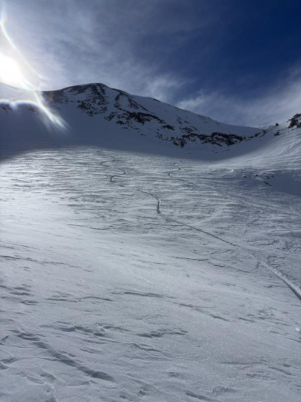
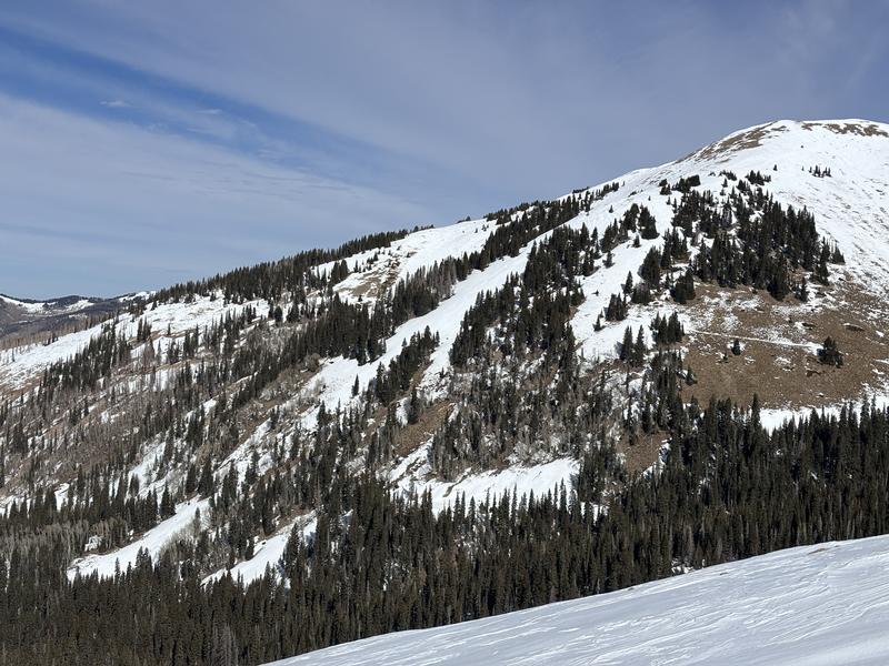
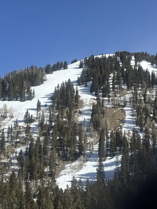
Best quality snow found on NW-N-E facing aspects with faceted powder turning below, near and above tree line. Presence of the 2mm thick but breakable wind crust above treeline with areas more affected by the wind having a stout crust. Spring like snow on south facing aspects that became damp in the afternoon. Looks like opportunities for faceted powder turning on northerlies and spring like corn on southerlies will continue for the next few days.
Red Flags
Red Flags
Poor Snowpack Structure
Red Flags Comments
No immediate concerns with the current snowpack other than loose dry avalanches in steep terrain on northerlies and wet loose slides late in the day on southerlies with warm temps. But the snowpack structure is poor and will be problematic with a new load on top if and when it comes.
Avalanche Problem #1
Problem
Normal Caution
Trend
Same
Problem #1 Comments
Sluffing/loose drys in steep polar aspects with faceted snow
Avalanche Problem #2
Problem
Wet Snow
Trend
Same
Problem #2 Comments
Snow became damp on solar aspects, no wet/loose avalanches observed but temperatures will continue to be warm over the next few days.
Snow Profile
Aspect
Northeast
Elevation
11,100'
Slope Angle
18°
Comments
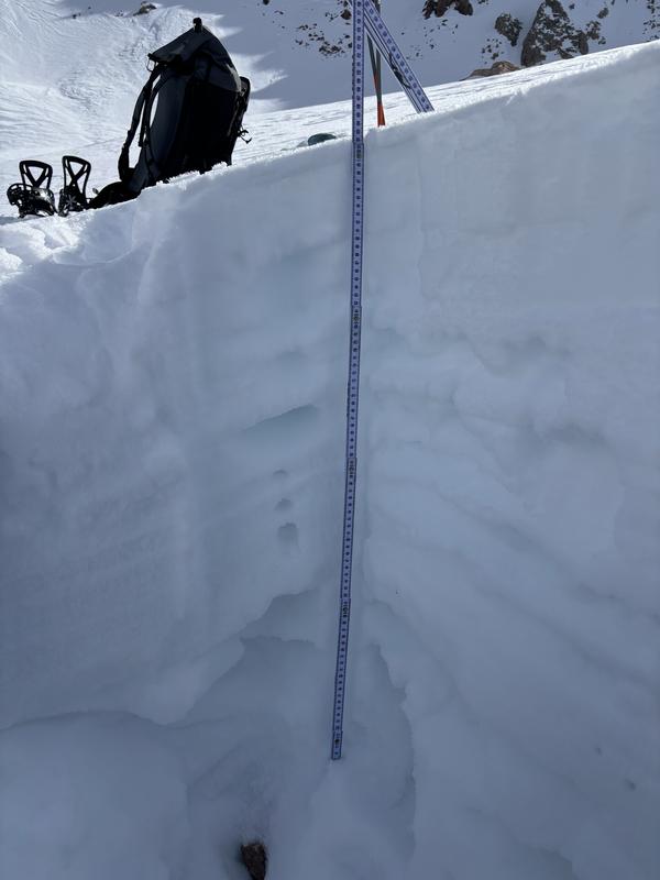
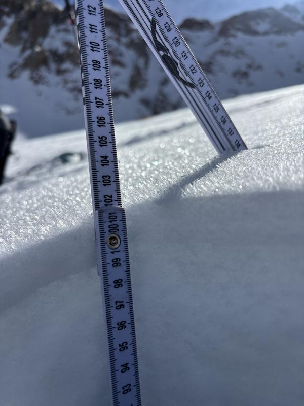
1. NE facing Snow pit up at 11170’ in middle cirque showing multiple weak layers down in the snowpack that will be areas of concern when we do get new snow. And, surface hoar
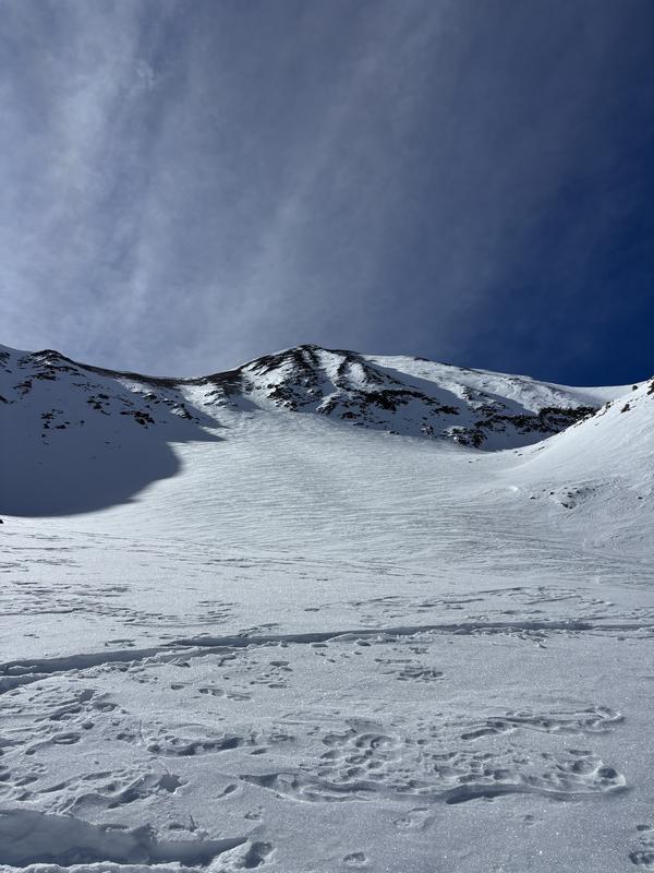
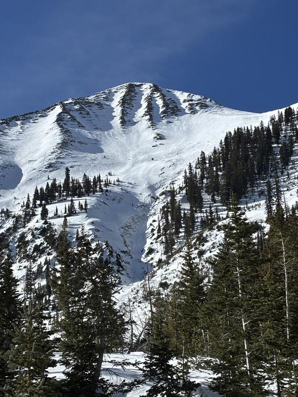
2. Several photos of north facing terrain and some of the quality recycled turning you may find there.
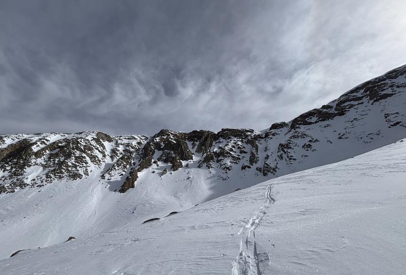
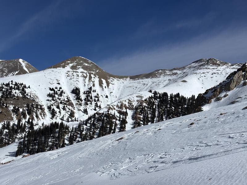
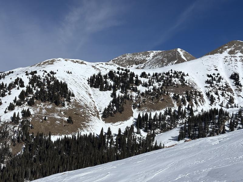
3. Several photos of south facing terrain with SE and SW holding some snow and due south aspects completely melted to the ground
Today's Observed Danger Rating
Low
Tomorrows Estimated Danger Rating
Low
Coordinates
Snow Pilot URL