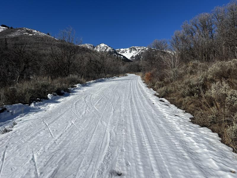
Today's field work focused on the current snowpack and snow surface ahead of what we hope will be fresh snow this coming week. The North Fork TH is mostly dry, but the road is still mostly snow and ice-packed from grooming and this makes travel along the road still possible. Much of the access to Cutler Ridge is north-facing, so there also remains enough snow for low-elevation travel once you leave the road.
7,000 foot snow depths are ~60 cms (2 feet), increasing to a meter above 7,500 feet. The holiday crust is now buried 30-50 cms deep, with the entire snowpack above the crust all faceted. The holiday crust is 10-15 cms thick and provides supportable travel, but once you step off of your skis or sled, your boots will penetrate down to the crust.
The past few days have been exceptionally warm and have created a thin, 1-cm layer of warmer/denser snow above the layer of near-surface facets and surface hoar. This may allow the weak snow at the surface to support more of a load with any new snow, but there is widespread faceted snow on northerly aspects at all elevations and they will be reactive once we receive enough of a load.
The recent warm temperatures have complicated the snowpack structure, with wet slides reported in the Salt Lake mountains on east and west aspects, but I saw no evidence of wet activity anywhere on the skyline, from Ben Lomond to Willard Peak. On some east aspects, the snow was wet/damp down to the holiday crust, where west aspects had dry facets underneath the wet snow near the surface. On some steep northerly slopes, it was easy to get the weak snow at the surface to sluff downhill.
Photos of
- Nordic Center access
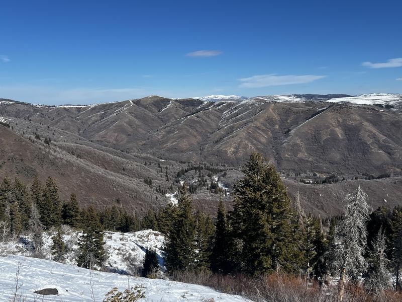
- Looking east from Cutler which highlights dry solar aspects and poor low-elevation coverage
- Ben Lomond Headwall & Willard Peak
- Pit dug just above Ben Lomond Peak weather station with a HS of 105 cms and 50 cms of faceted snow on top of the holiday crust