Observation: Cherry Creek Canyon

Observation Date
2/2/2026
Observer Name
Richie Schumacher
Region
Logan » Mount Naomi Wilderness » Cherry Creek Canyon
Location Name or Route
Cherry Peak Area, Mount Naomi Wilderness
Weather
Sky
Clear
Wind Speed
Calm
Weather Comments
Great weather today. Calm and Mild with a hot sun that left polars cold and softened/ corned up some solars nicely.
Snow Characteristics
Snow Surface Conditions
Dense Loose
Faceted Loose
Wind Crust
Melt-Freeze Crust
Snow Characteristics Comments

We found a mixed bag of conditions throughout our tour. Low elevation solars are dirt and polars are holding a very thin, faceted snowpack. Around 7500-8000' conditions improve on Polars, but still struggle on solars. Above 8000', depths are much better on all aspects and rapidly increases with elevation gain. Wind effect was apparent above around 8600' with hard and soft slabs as well as loose deposits of soft wind blown and faceted snow. Upper elevation north and North east aspects still held soft snow. above 9000' on a very steep North aspect, we found fast running dry loose avalanches in the faceting surface snow. Some of these ran long and over cliffs and likely grew to D1 size debris pile (Picture). This was to be expected in the terrain, however they were moving faster than anticipated. Above 9000' on aspects with a more easterly tilt, the snow was warming up a bit, but stayed dry enough and soft with no (or minimal) previous crust.

Red Flags
Red Flags Comments
We did not notice any recent red flags. The natural avalanche across the way was likely from a couple days ago. We did find signs of previous wind loading since our last storm, however no signs of instability noted specific to this problem and no active wind loading noted today. We observed signs of a wet loose cycle from the past couple days (pictured) and that may have also triggered the wind pocket on the natural avalanche, but no wet avalanche instabilities noted today.
Avalanche Problem #1
Problem
Normal Caution
Trend
Decreasing Danger
Problem #1 Comments

Isolated pockets of wind slab and fast running loose dry (within the faceting surface snow) avalanches exist in upper elevation and challenging/ complex terrain (pictured). Fast running loose dry avalanches can be dangerous in extreme terrain and over terrain traps and seem to be currently active and gaining speed on North aspects above 9000' where the snow surface and deeper snowpack is faceted and weakening.

Comments

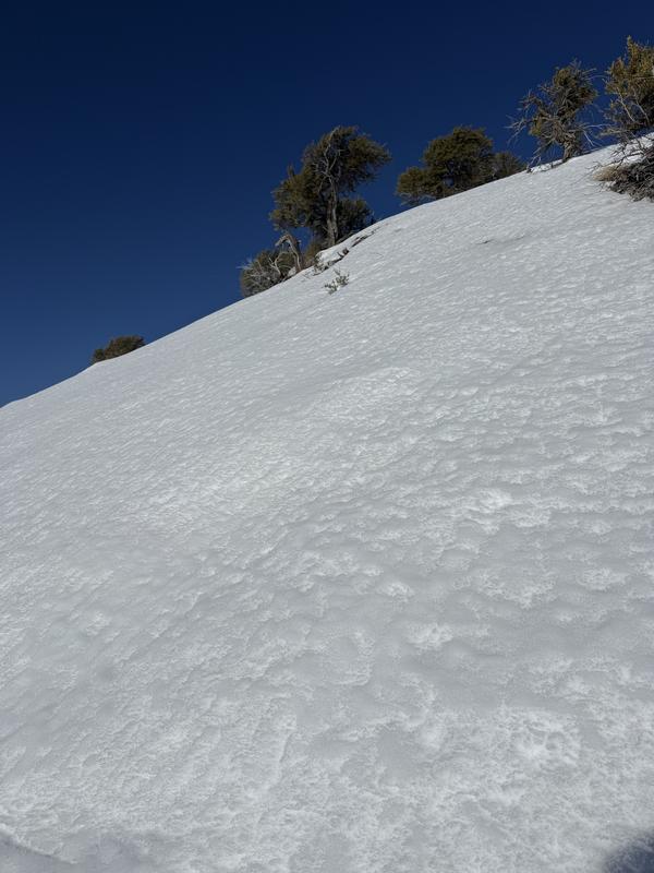
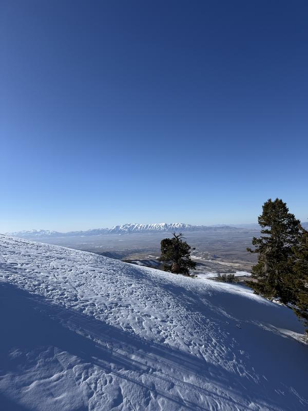
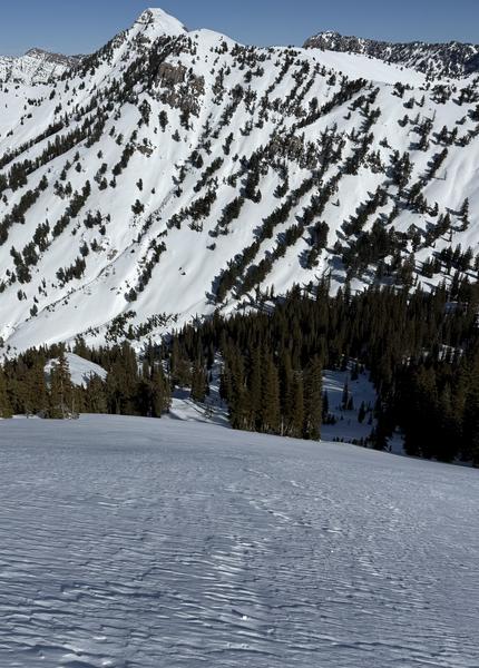
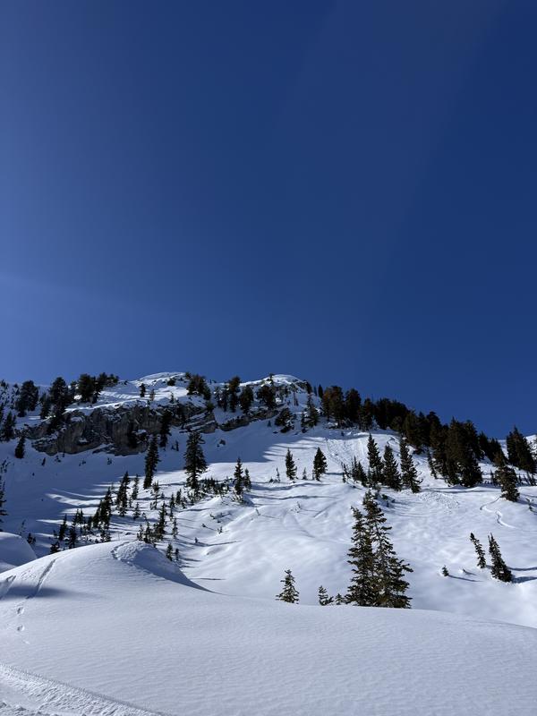
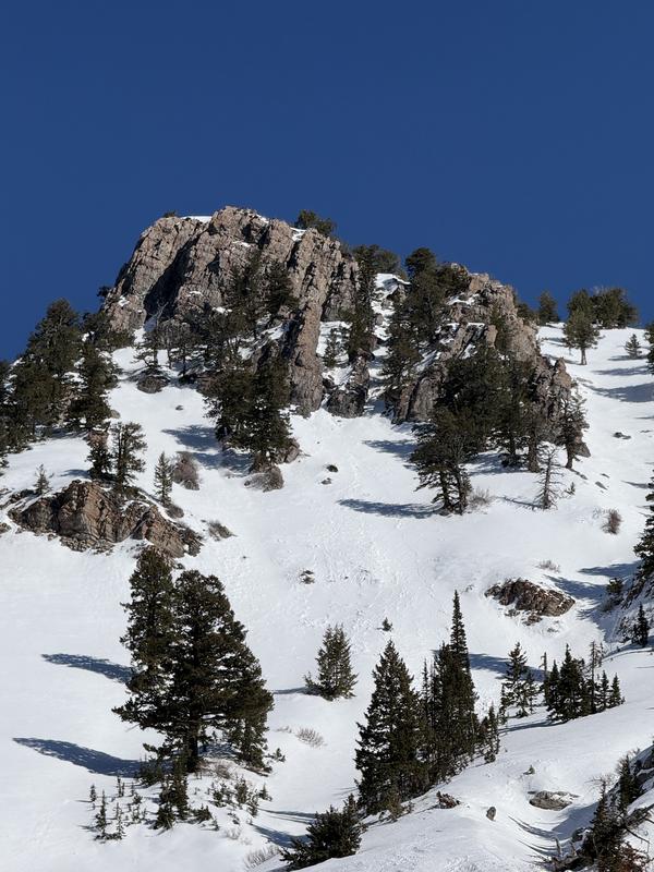
Starting at 0830, we had mild, but solid freezing temps at the trailhead that warmed quickly with the sun. Low elevation North aspects are struggling to hold enough snow to ski. At 8500' on South aspect we found a corn cycle developing by 1100am (picture). Above about 8600' (topped out at around 9300'), the wind effect became much more pronounced with both small isolated pockets of hard and soft wind slab mixed with softer non-cohesive wind deposits (picture). Overall, stellar day. Although, I am noting how much faster the dry loose avalanches are running as I push into some more complex terrain.

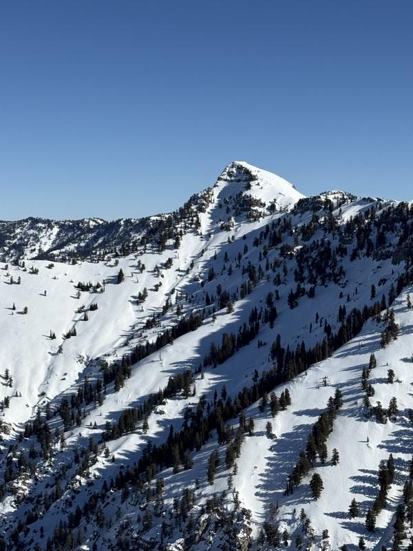
Picture 1: Cherry Peak and Old and more recent natural avalanche
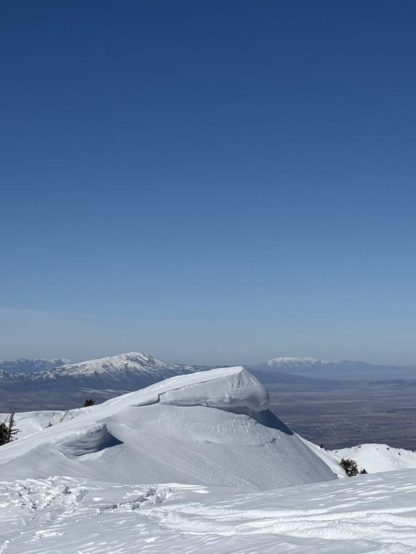
Picture 2: Cornice

Picture 3: Corn cycle at 8500'

Picture 4: Wind effect

Picture 5: NE aspect surface conditions

Picture 6: Loose dry coming off of peak above and running over cliffs on left and also some smaller releases on the right

Picture 7: Old wet loose activity off solar cliffs

Today's Observed Danger Rating
Low
Tomorrows Estimated Danger Rating
Low