Cool, sunny day with sky becoming obscured around noon by a localized cloud deck.
The 1.5-3" of new snow in upper LCC Wednesday evening was affected by moderate NW winds leaving a wide variety of surfaces throughout Red Pine, Maybird and Hogum.
Melt-Freeze crusts cover most solar aspects, some exposed by wind and some covered with the shallow new snow layer (already dense from solar radiation).
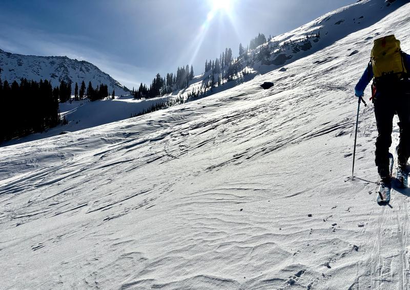
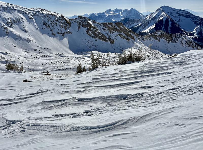
Old, stout windslabs and shallow, softer wind-stiffened new snow pepper the alpine, most present high in the drainages that see NW up-drainage funneling (Pics 1 & 2). We skied through many versions of these and found none of them connected into any hazardous size/depth. Jumping on one above consequential cliffs still not recommended though...
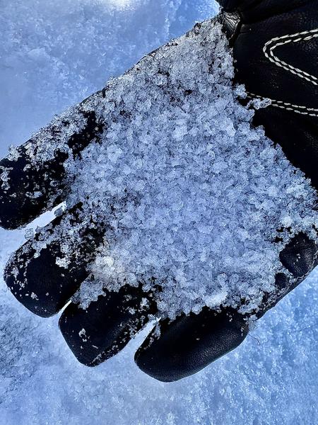
Protected lower slopes have maintained a faceting temperature gradient and many areas are starting to feel like a sandbox under skis. Some thinner areas in the alpine have 2-4mm facets/DH (Pic 3). Dry loose facet sluffs are easy to push on steep slopes and while overall they're not dangerous the right combination of a human pushing one into a terrain trap or consequential rock feature holds hazard potential.
Overall the ski quality has improved but winds have blown the new snow into a checkboard of different conditions in alpine basins. Lower, protected slopes hold a more soft & consistent surface.
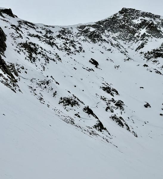
Evidence of the early January natural cycle still visible across much of the eastern Hogum basin, mid-track (Pic 4).