Observation: Mount Mellenthin

Observation Date
1/26/2026
Observer Name
Trenbeath
Region
Moab » Mount Mellenthin
Location Name or Route
Under Mount Mellenthin N Face to Colorado Bowl
Weather
Sky
Clear
Wind Direction
Northwest
Wind Speed
Light
Weather Comments
Beautiful calm, cold, and clear day in the mountains.
Snow Characteristics
Snow Surface Conditions
Powder
Wind Crust
Snow Characteristics Comments

The mountains picked up 8"-10" of low density powder on Friday, Jan 23. Northwest winds picked up the night of Jan 24, and blew all through the day on the 25th averaging 20-30 mph along ridge tops. Mercifully, most of the wind damage and subsequent loading occurred primarily above tree line. Today I ventured into the wind ravaged hellscape under the N Face of Mount Mellenthin. This zone is prone to being blasted by NW winds as they blow through Geyser Pass, and it is not necessarily indicative of high alpine conditions elsewhere including Gold Basin. I found heavily scoured terrain, breakable wind crust, sastrugi, and exposed talus. But even amidst all of this, I ran across a natural, hard slab avalanche that likely ran during the height of the wind event that put debris down into bare, exposed talus. I'll detail that in a separate report. Interestingly enough, as soon as I dropped below the highest band of trees, the snow became soft and sweet, and no sign of a slab was found.

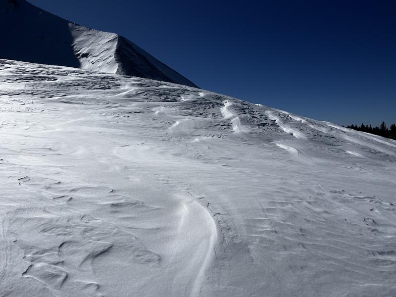
Wind ravaged snow in the alpine.

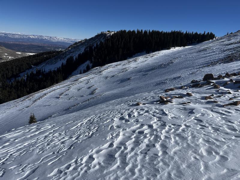
This is looking due northwest where the winds came from. South slopes of the north group in the distance.

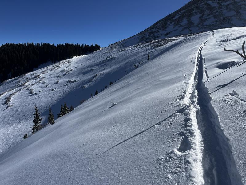
Snow became instantly soft with only minimal shelter and slight elevation drop. (11,200')

Red Flags
Red Flags
Wind Loading
Poor Snowpack Structure
Red Flags Comments
Evidence of wind loading, including cross-loading on exposed slopes is apparent above tree line on N-NE-E aspects. Snowpack structure is poor and entirely faceted through. I didn't dig today. Our weak snowpack is well documented and it was enough to traverse the top of Colorado Bowl and poke my ski pole through to the ground all along the way. HS 80-110 cms.
Avalanche Problem #1
Problem
Persistent Weak Layer
Trend
Decreasing Danger
Problem #1 Comments

Our underlying snowpack structure is weak and well documented. Buried near surface facets exist under the most recent snow. The rest of the pack is entirely faceted through with the Christmas Rain Crust forming the strongest barrier 18-24 inches above the ground. Slab distribution on top however, isn't widespread. The recent snow isn't slabby at all, it's all about wind deposition. Drifted areas old and new are the problem, primarily right at or above tree line on slopes facing N-NE-E. Even scoured slopes with little connectivity above tree line are capable of producing avalanches as seen in the photo below.

Avalanche Problem #2
Problem
Wind Drifted Snow
Trend
Decreasing Danger
Problem #2 Comments

Wind drifted snow problems are stabilizing, but there's been plenty of them above tree line over the past couple of days. Wind drifted areas will soon be absorbed into a persistent weak layer problem.

Today's Observed Danger Rating
Considerable
Tomorrows Estimated Danger Rating
Moderate
Coordinates