Observation: Beaver Envy

Observation Date
1/25/2026
Observer Name
Richie Schumacher
Region
Logan » Beaver Creek » Amazon Face » Beaver Envy
Location Name or Route
Beaver's Envy
Weather
Sky
Overcast
Precipitation
Light Snowfall
Wind Direction
Northwest
Wind Speed
Moderate
Weather Comments
Cold, windy, and cold. Started at 0530am at the trailhead with air temps (car) at 4*F, winds calm to light out of the northwest, broken skies, and S-1 light snowfall with a trace of new snow. Over the next couple hours and as I gained the ridge, skies increased to overcast and obscured, winds increased to moderate, and snowfall increased- but still only left a trace to 1" (in spots where the wind was filling in snow at higher elevations) throughout the morning. At around 1000am, temps were 17*F at the TH and snowfall was sparse and decreasing. The snowfall was welcome and nice to have, but felt like a tease by the end of the morning.
Snow Characteristics
New Snow Depth
1"
New Snow Density
Low
Snow Surface Conditions
Dense Loose
Faceted Loose
Wind Crust
Melt-Freeze Crust
Snow Characteristics Comments

Dust on (variable, breakable) crust. Variable surface conditions as expected. New snow was only a trace in most areas with some areas of up to 1" in isolated, higher elevation, and blown in areas. New snow was not enough to improve conditions and, when paired with the cold temps, might have made ski conditions worse. The only soft snow I could find was on the north side of trees in very protected areas. The ski out was character building. I employed ski crampons today as the old, rock hard skin track was very slippery with a trace of new, cold snow on it. I think it would be isolated, but I am curious to see if some of this new wind blown snow might preserve any of the surface hoar or PWL layers that are currently widespread, specifically on East and Southeast aspects at upper mid and upper elevations.

Red Flags
Red Flags Comments
None noted. Wind blown snow was minimal.
Comments

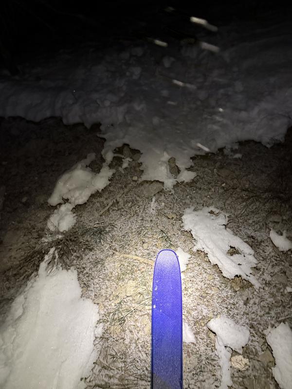
Photo 1: 8000' SSW- dirt patches

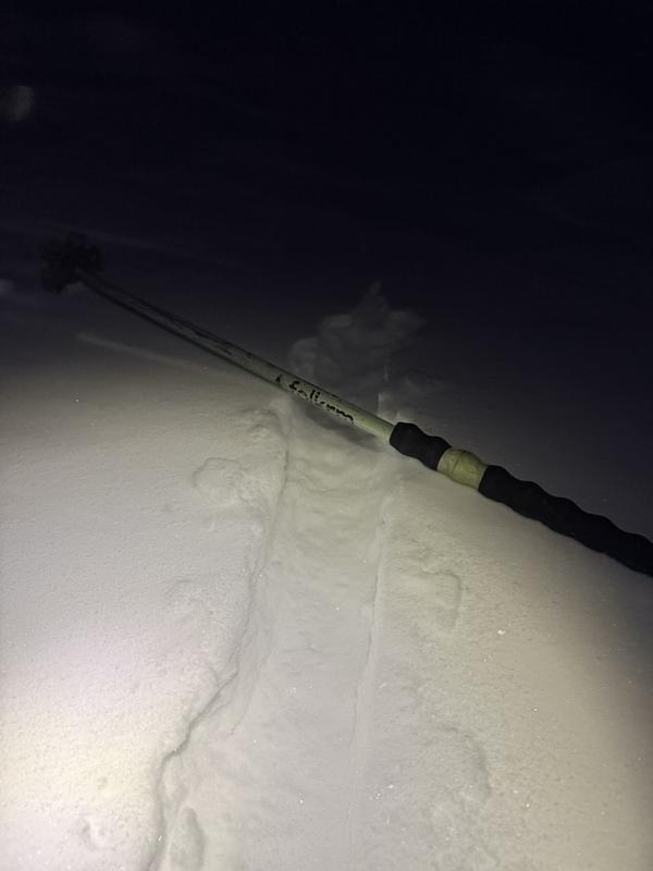
Photo 2: 9000' ridgeline wind loading

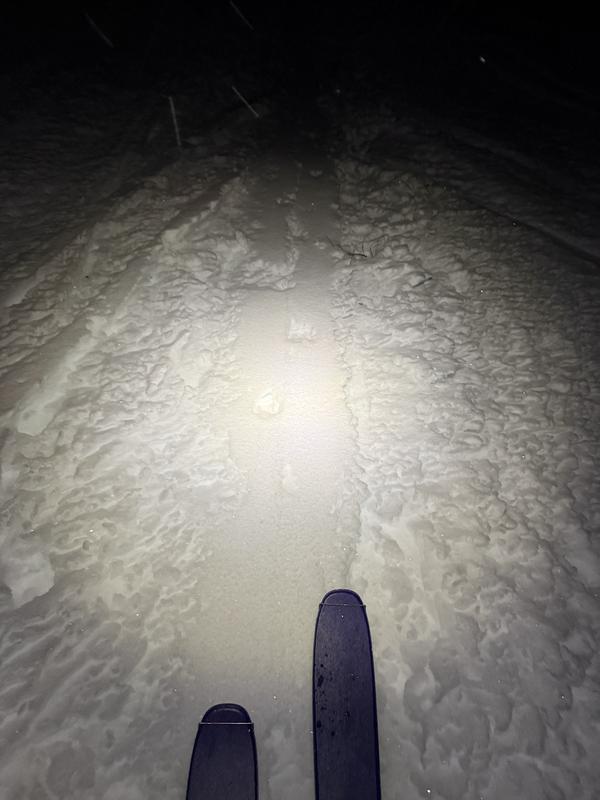
Photo 3: skin track conditons

Today's Observed Danger Rating
Low
Tomorrows Estimated Danger Rating
Low
Coordinates