Observation Date
1/23/2026
Observer Name
Maushund, Garvin
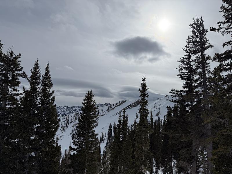
Region
Salt Lake » Big Cottonwood Canyon » Days Fork » Upper Days
Location Name or Route
Upper Days
Today's Observed Danger Rating
Low
Tomorrows Estimated Danger Rating
Low
Coordinates


