The biggest takeaway, as in most UAC obs this week: LOW danger observed, with the most notable observation being the beginnings of near-surface faceting in protected areas—which makes for great riding right now— will likely become a weak layer when buried. The modest winds the past week (light to moderate, N and variable direction) have worked to transport whatever loose surface snow is left back into areas previously disturbed. However, we did not observe any reactivity, cracking, or collapsing in these wind deposits.
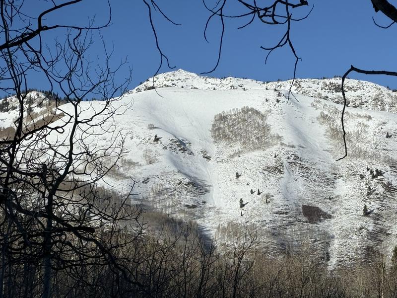
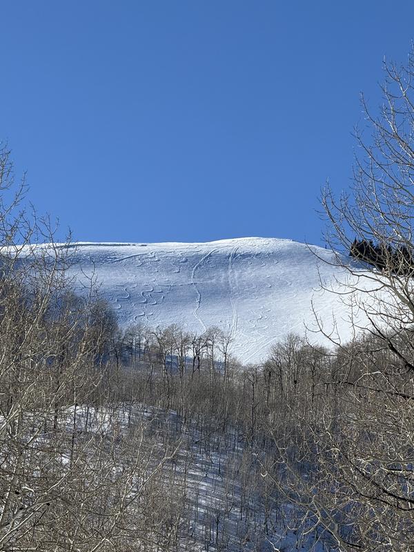
As far as surfaces go, looking for another way to say "the full gamut", "a mixed bag", "any surface you want is out there", "you can find it if you know where to look". Melt-freeze crust on solars with thickness and supportability depending on slope angle/micro-aspect; dense loose snow in sheltered areas, with some near surface faceting starting to take place in sheltered terrain. Wind buff on the lee sides of cold fetches, along with plenty of wind-board in exposed terrain. Refrozen and risen old tracks were visible both on lower elevation terrain as well as up high.
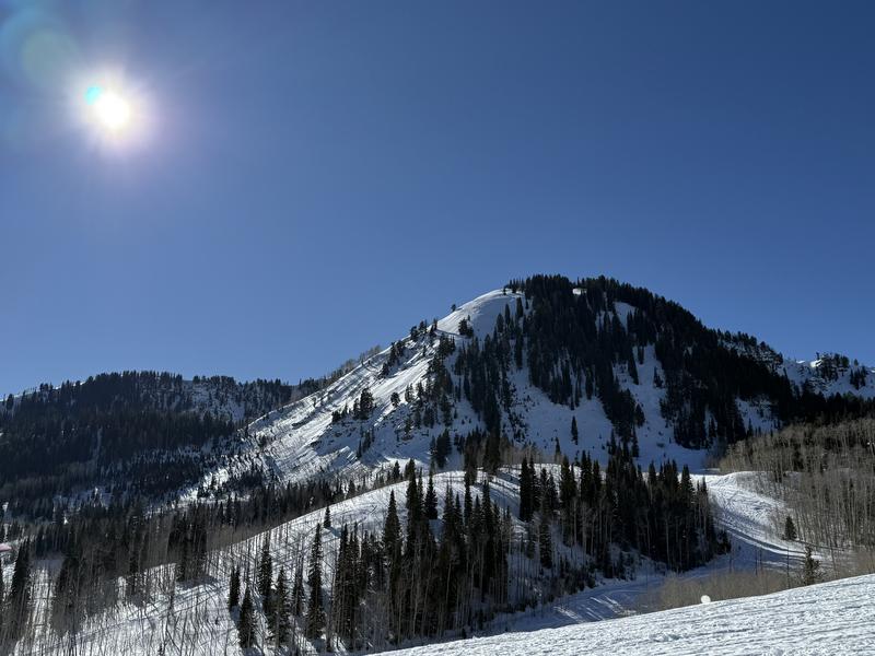
We were able to find decent riding conditions in specific terrain features, with a lot of travel over less than ideal surfaces in between. Melt-freeze crusts were variably supportable to sleds.
Photos: Old, raised tracks with some new, light wind transport visible & surfaces/coverage.