UDOT PLANNED AVALANCHE CLOSURES!!

Forecast for the Skyline Area Mountains

Brett Kobernik
Issued by Brett Kobernik on
Monday morning, March 4, 2024
The avalanche danger rating for the Skyline is HIGH
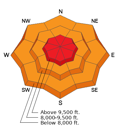
Natural avalanches from wind drifted snow are likely.
Travel in avalanche terrain (slopes steeper than 30˚) is not recommended.
Remember, there is a lot of terrain on the Skyline that is NOT avalanche terrain and is safe to recreate on. Just avoid being on or below any steep slope and you'll stay safe.
Low
Moderate
Considerable
High
Extreme
Learn how to read the forecast here
Weather and Snow
Current Conditions: This was an impressive storm. New snow totals since Friday are:
Fairview Canyon/Electric Lake: 14 to 17"
Ephraim Canyon: 25"
12 Mile Canyon: 13"
There have been periods of very strong wind over the last few days from the southwest and northwest. It is currently calm to light. Temperatures are in the low teens.
Mountain Weather: We have one more period of snow this morning that could add a few more inches of fresh snow. It looks like it could get pretty windy again today. Wind will be moderate to strong from the west. Temperatures should creep up to around 20˚F. The weather looks unsettled through the week with lots of periods of clouds and chances for light snowfall.
Ad
Avalanche Problem #1
Wind Drifted Snow
Type
Location
Likelihood
Size
Description
With plenty of new snow to move around, wind drifted snow is the biggest avalanche threat. Avalanches could release naturally today as the wind is expected to increase again and drift more snow. All you can do right now is avoid steep slopes. Avalanche conditions should stabilize and become safer within a few days.
General Announcements
This forecast is from the U.S.D.A. Forest Service, which is solely responsible for its content. This forecast describes general avalanche conditions and local variations always occur.