Forecast for the Skyline Area Mountains

Brett Kobernik
Issued by Brett Kobernik for
Sunday, March 3, 2024
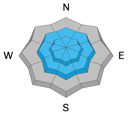
The avalanche danger rating for the Skyline is HIGH
Natural avalanches from wind drifted snow are likely.
Human triggered avalanches on steep wind loaded slopes are very likely.
You'll want to avoid steep slopes in the mid and upper elevation terrain today.
Low
Moderate
Considerable
High
Extreme
Learn how to read the forecast here
Weather and Snow
Current Conditions: The wind cranked pretty good on Saturday from the southwest. We picked up 8 to 10 inches of new snow since mid day Saturday. Temperatures are in the mid teens. Riding conditions should be decent in the more sheltered terrain.
Mountain Weather: The storm will continue today. The strongest wind will be this morning then gradually tapering off afternoon. Snowfall will increase later this morning with the brunt of it coming this afternoon and lingering through tonight. I'm anticipating 6 to 8 inches more snow by Monday morning or perhaps a bit more. It looks like unsettled weather coming with more chances for snow as the week progresses.
Ad
Avalanche Problem #1
Wind Drifted Snow
Type
Location
Likelihood
Size
Description
Avalanches will probably release naturally today due to wind drifting snow. Steep slopes will most likely get overloaded quickly until they can't hold on anymore. Slopes that get loaded and don't slide might just need a trigger, like you. It's simple today. The wind is going to blow and it's going to snow. This combination oftern produces dangerous conditions. Avoid steep slopes. The avalanche danger will most likely decrease rapidly once the storm is done. Until then, don't mess with wind loaded slopes.
General Announcements
This forecast is from the U.S.D.A. Forest Service, which is solely responsible for its content. This forecast describes general avalanche conditions and local variations always occur.