Forecast for the Salt Lake Area Mountains

Issued by Trent Meisenheimer on
Sunday morning, January 29, 2023
Sunday morning, January 29, 2023
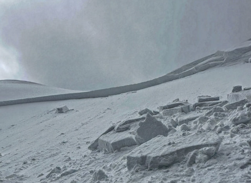
The avalanche danger is CONSIDERABLE across all mid and upper elevations for sensitive slabs of wind-drifted snow. We also have a CONSIDERABLE avalanche danger for new snow soft slabs and dry-loose avalanches. Human-triggered avalanches are likely, and natural avalanches are possible.
We could see a period of heavy snowfall where the avalanche danger could spike to a HIGH danger for a few hours. This will depend on your location and how fast the snow falls from the sky.

Low
Moderate
Considerable
High
Extreme
Learn how to read the forecast here


