Forecast for the Logan Area Mountains

Issued by Trent Meisenheimer on
Wednesday morning, January 18, 2023
Wednesday morning, January 18, 2023
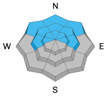
Today the avalanche danger is MODERATE on all steep slopes at the mid and upper elevations. Here it is possible to trigger an avalanche 1-2' deep that fails within the new snow. Also, keep an eye out for loose dry avalanches (sluffs) as they can run long distances and could pack a punch in steep, sustained terrain.
Evaluate snow and terrain carefully, as human-triggered avalanches are possible. Keep an eye on your friends, travel one at a time in avalanche terrain, and have a plan if an avalanche were to happen.

Low
Moderate
Considerable
High
Extreme
Learn how to read the forecast here