Forecast for the Salt Lake Area Mountains

Trent Meisenheimer
Issued by Trent Meisenheimer for
Sunday, March 17, 2019
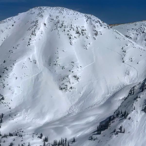
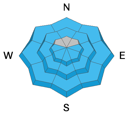
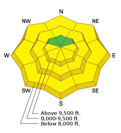
The avalanche danger is LOW early this morning, but will rapidly increase to MODERATE for Wet Snow avalanches in almost all steep backcountry terrain.
Travel advice is straight forward: when the snow becomes damp or wet where you are, get off of and out from under steep slopes. Wet sluffs that can carry and bury a person will be easy to trigger and natural avalanches will occur. Head to low angle terrain and avoid run out zones like the bottom of gullies.
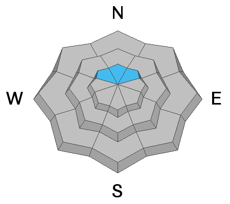
On upper elevation, steep, shady slopes, isolated shallow soft slab avalanches and sluffs can still be triggered.
Low
Moderate
Considerable
High
Extreme
Learn how to read the forecast here
Special Announcements
The latest podcast is out! The Wise Ones - A Conversation About Mentorship with Eeva Latosuo and Aleph Johnston-Bloom. LINK
Catch up on the past week's snow and avalanche activity with Greg’s Week in Review. Check it out here.
Weather and Snow
Under clear skies, the overnight temperatures dropped below freezing across the mountains giving us a sold re-freeze of the snow surface. Current upper elevation thermometers are in the mid to low 20's while the lower canyon drainages are in the low teens °F. Winds are light (5-10 mph) from the west-south-west.
The strong spring sun has destroyed all the powder except for the steep, upper elevation, north (shady) facing slopes. After three days of melt-freeze it may be possible to find pseudo corn snow on lower angled upper/mid elevation southerly slopes this morning as the sun heats the snow surface.
Highs today will be near 40 at 8,800’ and the low 30s at 10,000’. Westerly winds will remain calm (5-10 mph) through the day. The next chance for new snow will begin on Wednesday. Details are a bit sketchy as some models are suggesting it goes a bit too far south of us.
Recent Avalanches
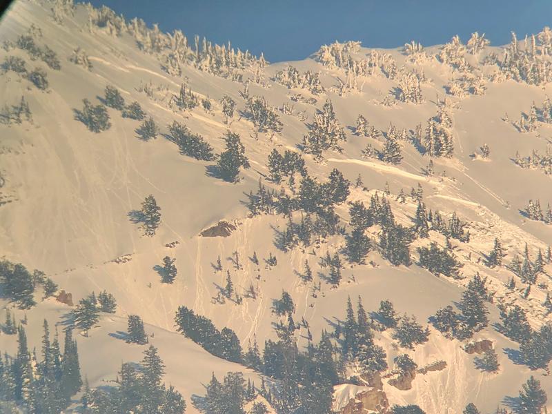
Yesterday, backcountry riders we able to initiate loose wet snow avalanches on many of the sunny aspects as well as mid and lower elevation northerly slopes. Most of these start beneath your skis, board, or sled and fan out, running into the lower angled terrain before stopping. However, one loose wet snow avalanche off the Toledo chutes in upper Little Cottonwood Canyon was large enough to catch and carry the rider. He/she was not buried, but did have to dig their skis out of the solid wet debris. Check out all the recent observations here.
Many people sent in photos of a large natural avalanche from Red Top mountain in White Pine. This slide looks to be an old wind slab avalanche that likely happened during the storm on March 12-14th (Mark White: photo below).
Ad
Avalanche Problem #1
Wet Snow
Type
Location
Likelihood
Size
Description
Melt-freeze cycles are what spring is all about. Each day the strong sunshine (short wave radiation) and warm temperatures heat the snowpack allowing the snow surface to become damp, moist, wet, and saturated. At night the temperatures drop and the long wave radiation is transmitted back into the atmosphere allowing the snow surface to freeze and become solid again. During the day, the strong sun loosens the bonds (essentially melts) between each of the grains at the snow surface and we start seeing natural loose wet snow avalanches due to gravity and the decreased strength in the snowpack.
Wet snow avalanches are very different than dry snow avalanches. Dry snow avalanches can move at speeds upwards of 40-80 mph and usually have a dust cloud from the dry cold powder. Wet snow avalanches move much slower 10-40 mph and they flow like concrete pouring out of a dump truck. Most accidents happen because of natural wet snow avalanches. However, if you overstay your welcome on a steep, sustained, sunny aspects and the snow becomes too wet, humans can easily cause the avalanche that catches and carries them.
Today’s Wet Snow avalanche activity is PREDICTABLE and AVOIDABLE. As the day heats and the sun hits the slopes, it’s guaranteed the snow becomes wet, loose and sloppy. You will be able to trigger wet loose sluffs on steep slopes and some natural wet snow avalanches will occur during the day today. Plan your exits so you're not coming out of steep canyon bottoms during the heat of the day.
Avalanche Problem #2
Normal Caution
Type
Location
Likelihood
Size
Description
There is inherent risk in mountain travel - early in the morning, slide-for-life conditions may be possible on the hard crusts. On steep, upper elevation northerly facing terrain, there remains the possibility to trigger a shallow dry snow slab, or a loose snow sluff in isolated places.
Additional Information
Thinking of heading to the Provo mountains? be sure to get the Provo forecast. It's a different beast down there and yesterday the westerly facing aspects went though a natural wet slab cycle late in the day. Many of these slabs were hundreds of feet wide running over 1,000' vertical down the slope leaving behind massive piles of solid concrete debris. (Photo: Provo UDOT)
General Announcements
This information does not apply to developed ski areas or highways where avalanche control is normally done. This forecast is from the U.S.D.A. Forest Service, which is solely responsible for its content. This forecast describes general avalanche conditions and local variations always occur.