Forecast for the Salt Lake Area Mountains

Greg Gagne
Issued by Greg Gagne for
Monday, March 18, 2019
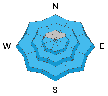
The hazard starts out Low this morning, rising to Moderate with the primary hazard of wet loose avalanches as the snow heats up from the sun. On steep northerly aspects above about 9000', dry/loose sluffs as well as shallow soft slab avalanches are possible.
Timing is everything - plan to be off of and out from underneath steeper slopes once the snow surface warms, including lower elevation exits on all aspects.
Low
Moderate
Considerable
High
Extreme
Learn how to read the forecast here
Special Announcements
For those heading out before the regular forecast is available (which occurs at about 7 am), you can call the Dawn Patrol Hotline at 888-999-4019 option 6. The dawn patrol recording is available by about 5 am, and summarizes weather, recent avalanche activity, and the overall general avalanche hazard for that day.
The latest podcast is out! The Wise Ones - A Conversation About Mentorship with Eeva Latosuo and Aleph Johnston-Bloom. LINK
Weather and Snow
Temperatures this morning range through the 20's F and winds are westerly and light, less than 10 mph, with high thin clouds overhead.
For mountain weather, expect high thin clouds and temperatures rising into the low 40’s at lower elevations and 30’s F at mid elevations. Temperatures will rise to just about freezing at 11,000’ Winds will be westerly and light, averaging less than 10 mph with a few gusts in the teens.
For those sharing my boredom with the current weather, there is a glimmer of hope for a somewhat more active weather pattern beginning later this week. Although no significant storms are in sight, there are chances for moisture, and although the track currently seems to favor southern and central Utah, enough moisture may make its way north.
Recent Avalanches
Only minor sluffing was reported from Sunday, with wet loose sluffs on steeper sunny aspects, and small dry sluffs on steeper northerly aspects at the upper elevations.
Ad
Avalanche Problem #1
Wet Snow
Type
Location
Likelihood
Size
Description
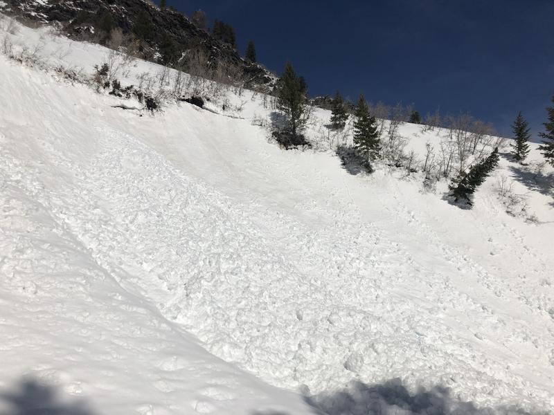
The snow surface has had another night with a solid refreeze, but wet, loose avalanches are possible as the snow heats up from the sun. You can expect wet avalanche activity - including both natural and human-triggered slides - on slopes facing east, south, and west, as well as northerly slopes at the low and mid elevations. The photo below is from UAC Moab forecaster Eric Trenbeath, showing some wet avalanche activity in the Ogden mountains on Sunday. Eric is spending a few days with us up here, and you can look forward to his forecast for the Salt Lake mountains tomorrow.

Avalanche Problem #2
Normal Caution
Type
Location
Likelihood
Size
Description
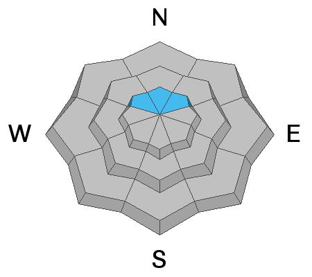
On steep, northerly aspects above about 9000’ the snow surface is weakening, and dry loose sluffs are possible in this steep terrain. Shallow, soft slab avalanches are also possible in isolated terrain.
Additional Information
Thinking about a trip to the Provo mountains or further south to the La Sals? It is a much different avalanche situation to our south with significantly more dangerous avalanche conditions. Be sure to check the forecasts for Provo (link) or the La Sals (link) as you plan your trip. The photo below is from the Provo mountains on Sunday where a wet slide buried the Squaw Peak road with 15' of debris.
General Announcements
This information does not apply to developed ski areas or highways where avalanche control is normally done. This forecast is from the U.S.D.A. Forest Service, which is solely responsible for its content. This forecast describes general avalanche conditions and local variations always occur.