Sign Up for the Utah Snow and Avalanche Workshop (USAW) on December 7th!

Forecast for the Salt Lake Area Mountains

Evelyn Lees
Issued by Evelyn Lees on
Thursday morning, November 22, 2018
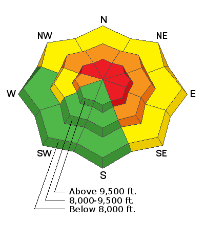
2:15 pm update. Heavier than expected snowfall rates have tipped the balance - wide natural avalanches are occurring where ever there is old snow beneath. The avalanche danger is HIGH. Backcountry travel is not recommended. Slopes with old snow will remain dangerous throughout the weekend.
  • We will update this forecast by 7:30 Friday morning.
Low
Moderate
Considerable
High
Extreme
Learn how to read the forecast here
Special Announcements
Check out our BLOG with more info on our new web site and avalanche problems.
Weather and Snow
Skies are cloudy and there’ve been a few snow flurries early this morning, with up to 2" of new snow in the last 2 hours. Temperatures are in the 20s to mid 30s. The first serious wave of snowfall should start around noon, with 3 to 7” possible by evening. The southerly winds will be a significant player today – averaging 10 to 20 mph, with gusts in the 30s. Across the higher ridgelines, speeds will average closer to 35 mph, with gusts in the 50s.
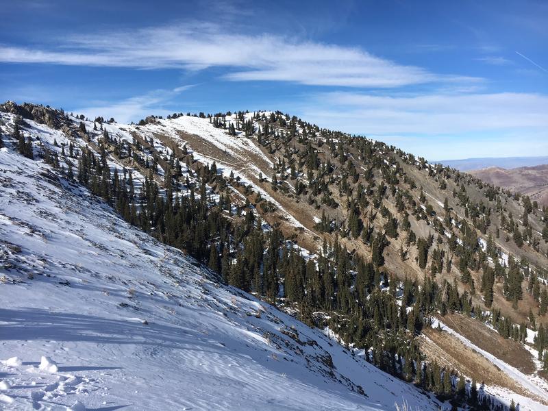
Snow coverage is very limited – the “base” of 1 to 2 feet of old snow on shady slopes will rapidly become too dangerous to travel on, and it may be a few more days until the bare sunny slopes fill in. In the mean time, resorts are opening and packed roads and low angle grassy meadows are backcountry options.
Recent Avalanches
Loose snow sluffs of facets were triggered yesterday on steep, shady slopes.
Recent observations can be found HERE.
Ad
Avalanche Problem #1
Persistent Weak Layer
Type
Location
Likelihood
Size
Description
After weeks of cold weather, our shallow 1 to 2 foot deep snowpack has turned into very loose weak sugary facets, with a few thin mid-pack crusts thrown in. These facets will not be able to hold much weight.
Today, after the first few inches of new snow fall, it will be surprisingly easy to trigger loose snow sluffs that will gouge down into the facets, running further than expected and pack a surprising punch.
By day’s end or overnight, if 6 to 10” of new snow stacks up or on slopes where wind drifts form, natural avalanches may start occurring, and it will be possible to trigger soft slab avalanches, breaking wide and again running surprisingly far.
Identifying and avoiding slopes with old snow will be critical.
This old faceted snow will remain a dangerous weak layer all weekend and beyond.
Additional Information
More snow is on the way! An additional 3 to 5” of snow is expected tonight, followed by 5 to 9" of warm heavy snow and strong gusty winds on Friday. A cold front will cross the area Friday night, with snowfall continuing into Saturday. Snow totals of two to three feet are expected by Sunday morning.