Donate to the 2024 Spring Campaign to help rebuild the UAC website.

Forecast for the Salt Lake Area Mountains

Trent Meisenheimer
Issued by Trent Meisenheimer for
Monday, November 19, 2018
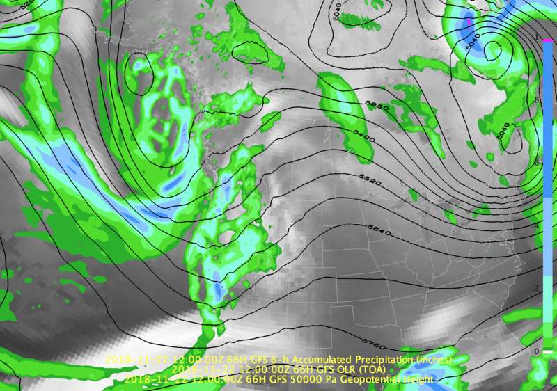
We are not issuing danger ratings with our forecasts at this time. However, with a storm on the horizon you can expect the avalanche danger to increase rapidly as we have weak sugary snow on slopes that face west to north to east at the mid and upper elevations. We will be updating this forecast by 7:30 am Thursday morning and we will do regular early morning updates through the weekend.
Low
Moderate
Considerable
High
Extreme
Learn how to read the forecast here
Special Announcements
Alta ski area is closed to uphill traffic, including the Supreme area. However, the summer road is open to gain acesses to the backcountry at Catherine's pass. Brighton is allowing uphill traffic on their designated trails, check their website to find out where you can walk uphill. Every ski area has a different up hill policy, so with snow on the way, it's even more important to check with each area if you can go up hill and where.
Weather and Snow
Sunny, clear skies will continue to dominate over northern Utah as a ridge of high pressure sits off the coast of California. Over the next two days temperatures will rise into the 40's at upper elevations and dive into the mid to upper teens overnight. You can expect sunny skis with the occasional whispy cloud passing overhead. Winds have been calm and mainly from the northwest for the past 24 hrs. The winds will eventually shift to a more southerly direction as we do have an approaching series of storms that will impact northern Utah through the Holiday weekend. Read below for more info.
Riding and turning conditions are best on upper elevation lower angle grassy slopes. Here you will find supportable riding and some soft turns. Rocks and down trees remain the biggest hazard at this time.
Recent Avalanches
No avalanche activity has been reported in the backcountry. Drew Hardesty and Evelyn Lees, both have great observations and some insight on the current snowpack found HERE.
Ad
Avalanche Problem #1
Normal Caution
Type
Location
Likelihood
Size
Description
During my field day yesterday we covered a wide variety of aspects and elevations. We found the snowpack to be variable with a myriad of crusts varying in thickness as you go up or down in elevation as well as changing your aspect. However, the simple fact is that above and below these crusts, very weak, sugary, faceted snow exists.
This weak faceted snow is found on slopes that face west to north to east at the mid & upper elevations. Once we get enough new snow on top of this weak faceted snow - we will see avalanches in this terrain. The bad news: this will limit most of the better riding once we get a storm. The good news: is that many southerly facing slopes are bare ground, eliminating the weak layer and leaving us with safe avalanche conditions once it snows. My game plan will be to avoid anything steeper than 30° degrees on the west to north to east facing aspects at mid and upper elevations. The south aspects will be the safest option for backcountry riding.
Photo: is my snowpit in Martha Bowl, which is a north facing slope at 10,000' in elevation. The entire snowpack here was completely faceted and rotten to the ground.
Additional Information
" The times they are a-changin " High pressure off the coast of California will move downstream (east) over the next couple of days and we will see an increase in southerly winds as an upper level trough enters northern Utah late Wednesday evening. This trough will move overhead rather quickly, dropping the temperatures and bringing snow to the valley floor. Friday, we set up with a westerly flow tapping into more available moisture, bringing a better chance of significant snow accumulation to the mountains. The main trough will dig into the area on Saturday allowing stormy weather to continue. It's hard to narrow down the exact timing of each of these troughs and the snow amounts - but guidance is hinting at a range of 16" to 36" inches of snow with 1.2 to 2.7 inches of H20 by Sunday. Stay tuned and fingers crossed!
Photo: looking at the 500 mb Geopotential heights on Wednesday evening at 5:00 pm as the first trough enters our region.