Forecast for the Salt Lake Area Mountains

Wednesday, March 14, 2018
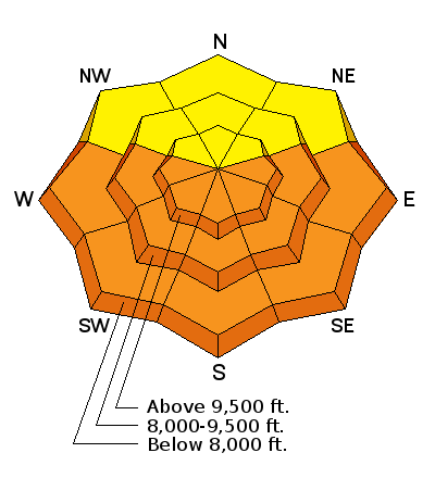
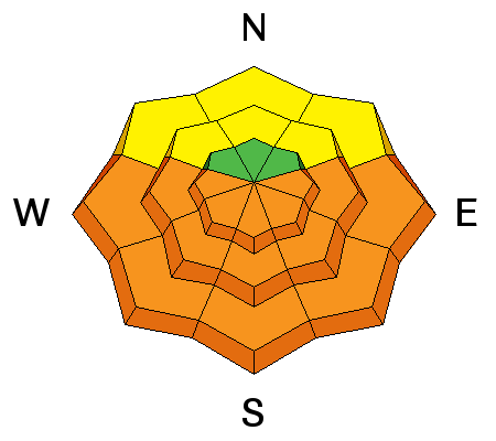
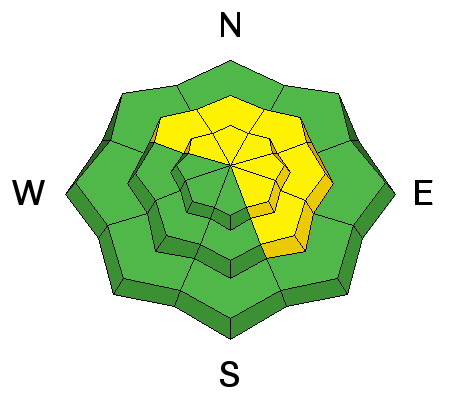
I expect the danger to rise to CONSIDERABLE for wet slab and wet loose avalanches today. They may be most problematic on easterly (NE>SE) and westerly (NW>SW) aspects at the mid-elevations. The danger may be more pronounced along the periphery of the Cottonwoods and more evident in Ogden and Provo. Note that wet avalanches may now include mid-elevation northerly slopes with today's warmth and high rain/snow line.
A MODERATE DANGER exists for human triggered slides 2 to 5 feet deep in isolated areas on predominantly (but not limited to) northeast to southeast facing slopes at the mid and upper elevations. Localized pockets of shallow but perhaps sensitive wind drifts may be found along the higher elevations.
Cornices, Glide Releases, and Roof-avalanches are also significant hazards to have on the radar today.