The free Solitude beacon park is now up and running – it’s at the far west end of the lower parking lot.
We have discount lift tickets for Alta, Snowbird, Brighton, Solitude, Snowbasin, and Beaver Mountain. Details and order information here. All proceeds from these go towards paying for avalanche forecasting and education!
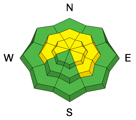
What a week it’s been - an all you can eat powder buffet, and free refills on the way. The Salt Lake and Park City area mountains have received 1 ½ to 2 feet of snow this week, topped off Thursday and Friday with another 6 to 9” in the Cottonwoods and 2 to 4” on the Park City side. The Ogden area mountains have received over 2 feet of snow in places, and the Provo area mountains over a foot. Cold temperatures and clouds have preserved the powder on all aspects.
You may catch a glimpse of sun this morning before skies cloud up again ahead of tonight’s storm. Temperatures are back down below zero at most stations this morning, and will struggle to crawl into the single digits and teens today. The westerly winds are stronger than I would like - the 9 and 10,000’ ridge lines have 15 to 20 mph averages, and at 11,000’, speeds are averaging 35 mph, with gusts in the 40s.
Be sure to check our Week in Review as you make your weekend plans:

The only avalanche activity reported yesterday were small soft wind slabs, mostly confined to the upper elevations, and sluffing of the new snow. A recent large cornice fall was noted along the Park City ridge line
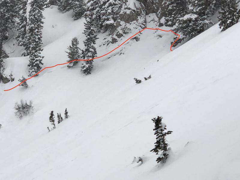
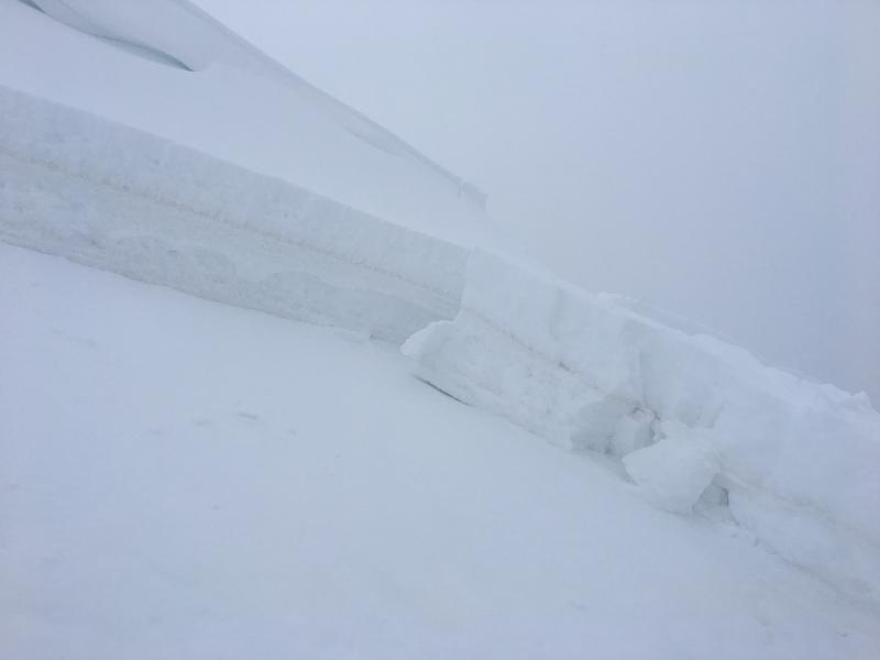
The storm system this past Monday produced quite a few natural avalanches and a few human triggered slides that failed in older, faceted snow. Details on these slides can be found HERE. Examples include smaller slides on northeast aspects at 9700', photo on the left, with a starting zone in thin, rocky terrain and a deeper, wider slide in Mill Creek, on the right.
