Forecast for the Uintas Area Mountains

Issued by Craig Gordon on
Sunday morning, March 27, 2022
Sunday morning, March 27, 2022
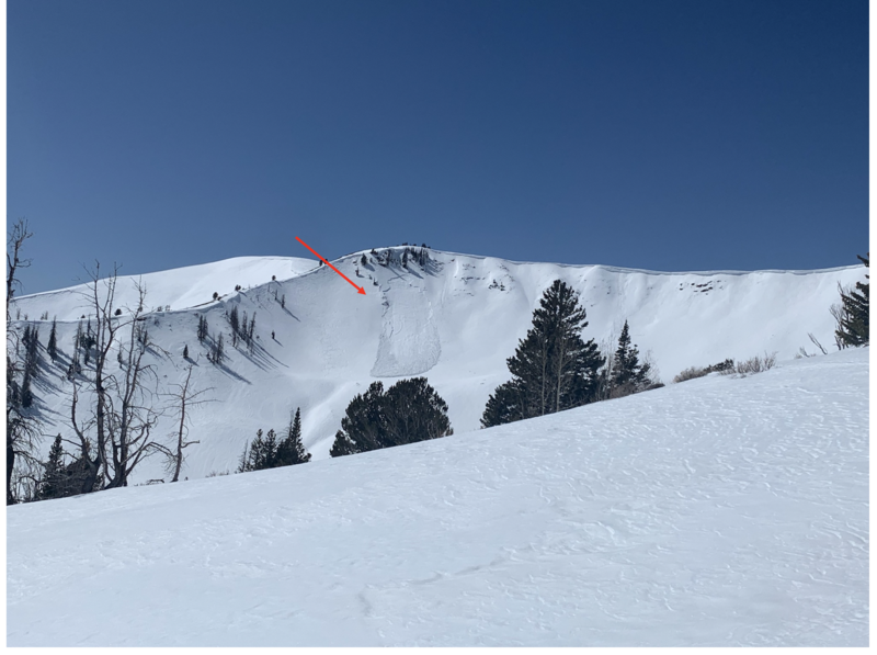
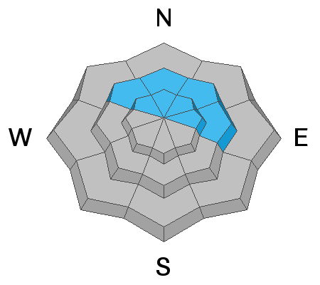
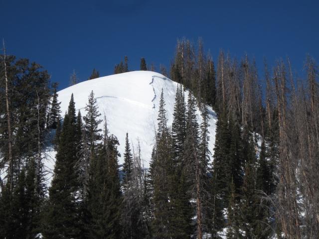
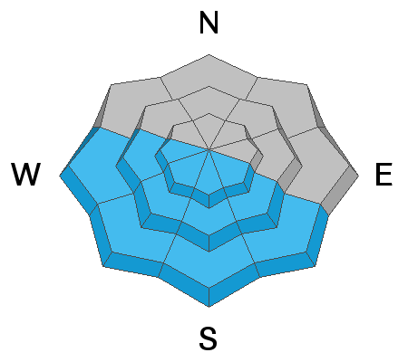
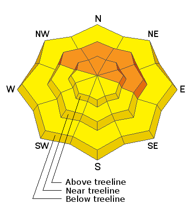
Near and above treeline CONSIDERABLE avalanche danger exists. Human triggered avalanches failing on the midwinter drought layer (PWL) and breaking several feet deep are LIKELY and natural avalanches POSSIBLE, especially on slopes facing the north half of the compass. MODERATE avalanche danger is found below treeline and human triggered avalanches breaking to this weak layer are POSSIBLE.
South and west facing terrain has been cooked by strong sunshine, but will heat up fast this morning. As the snow becomes damp, the danger rises to MODERATE for wet loose slides and sluffs. These should be relatively small and occur predictably as the day progresses.
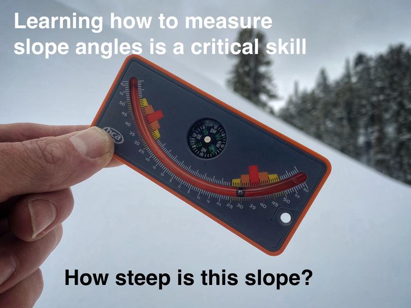
Scroll to the bottom for a note on slope angle and how to have a blast without entering avalanche terrain.
Low
Moderate
Considerable
High
Extreme
Learn how to read the forecast here