After a difficult week in February that included four avalanche fatalities, UAC forecasters will host a community debrief to discuss the conditions surrounding these accidents. We will review the weather and snowpack patterns, share observations from the field, and discuss lessons learned. This event will not be live but include time for questions and discussion, with the goal of learning together as a community. Please submit your questions HERE.
Nowcast - Skies remained clear overnight, while temperatures dipped into the mid and upper 40's where they hover at o'dark thirty this morning. Winds blow from the west and southwest near the high peaks, humming along in the 25-35 mph range... or in other words... irritating. Snow-wise, I think we'll have a nice opportunity to get a crop of maize harvested before the snow gets too sticky or the bottom falls out.
Forecast - High pressure delivers mostly sunny skies with high temperatures climbing into the low 60's. Winds blow from the west, registering in the obnoxious category at 30 to 40 mph near the high ridges. Overnight lows hover in the low 40's.
Futurecast - A rinse and repeat pattern is on tap for Wednesday before a dry, cool front knocks temps down to wrap up the work week. After even more record setting warmth next week, there's a hint... a notion... a glimmer of hope for some white paint sliding through the region bringing March to a close.
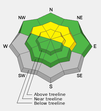
Travel Conditions - It ain't for the faint of heart out there right now! Price of admission is high, but believe it or else, Mill Hollow FR54 off SR-35 has the best coverage for sled access. For the brave, there's some soft snow out there, but timing is everything. For sledders, get on it while the snow is softening to keep your ride cool. For human-powered folk, you may get lucky with some supportable, soft turns by playing the timing game earlier in the day. Either way, you can't beat a day when the suns out, whilst yer guns are out and firin' in the mountains!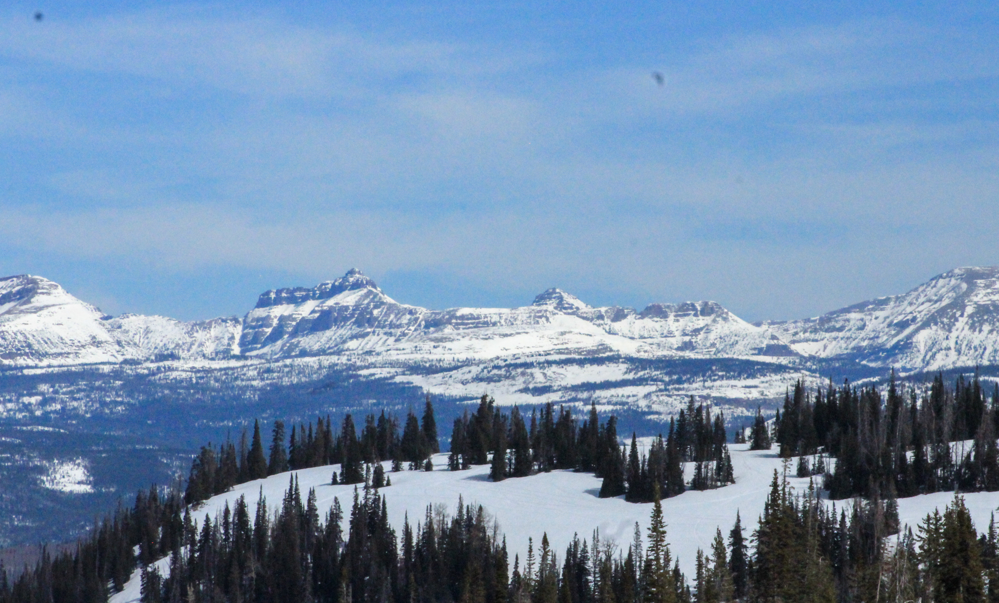 Looking east towards the High Uintas and Central Mountains, there's plenty of snow on polar slopes above 10,000'. Below that... travel, access, and type 2 fun conditions present some serious challenges and oh yeah... lack of coverage.
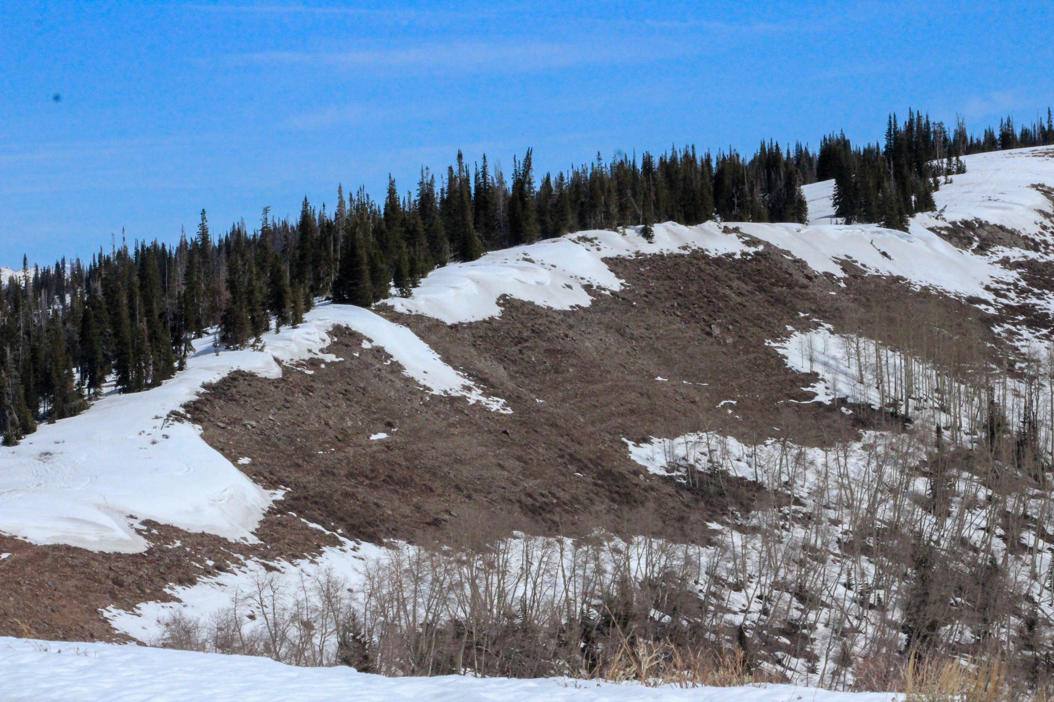 An upper elevation, solar slope near Duchesne Ridge is almost completely melted out. Over the next few days I suspect most sunny slopes up to about 10,000' are gonna be void of snow... looking more like June than March.
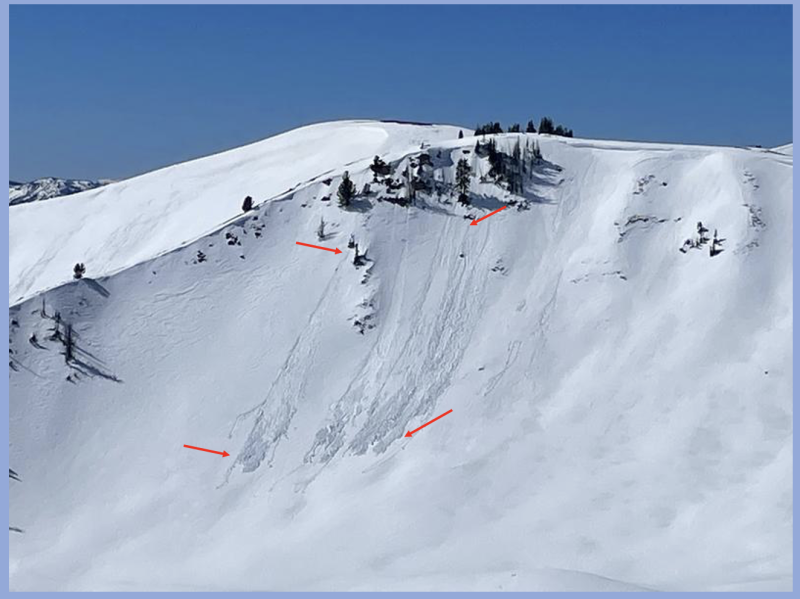
No verified new avalanche activity reported in the past 24 hours. Recent slides and trip reports from across the range are just a click away... below!