Each spring, we ask for your continued financial support to fund our forecasting programs. We hope you will consider supporting our mission by checking out our campaign and auction, live and available.
Nowcast - Partly cloudy skies and temperatures just below freezing kick-off the morning around 30F° at Trial Lake, and closer to 25F° along the high peaks. Winds blow moderately from the northwest around 20 MPH ushering in a high-pressure ridge that will bring unseasonably warm temperatures to the range. With that said, these could be the last below-freezing temps we see for a while -- Yikes!
Forecast - Expect mostly sunny skies and a high of 40F° at 10,000' for today. Northwest winds averaging 20 MPH help temper the heat for now, but over the next few days we loose the breeze, winds ramp down and temperatures ramp up to historical levels, 15-20 degrees above average.
Futurecast - Temperatures rise to historic levels through the end of the week into the weekend. Our snowpack will feel it's effects and there is no shot of a refresh, or any return of winter, with the hand of cards we currently hold.
Travel Conditions - North and south side gates are open on HW150, plowed from the north to Whitney and from the south to Spring Canyon, and of course SR35 remains open over the pass. Solars are melted out up to 9,000' and many windward slopes are scoured and worked to the dirt. The best riding exists above 11,000' on the northerlies, in protected and sheltered terrain.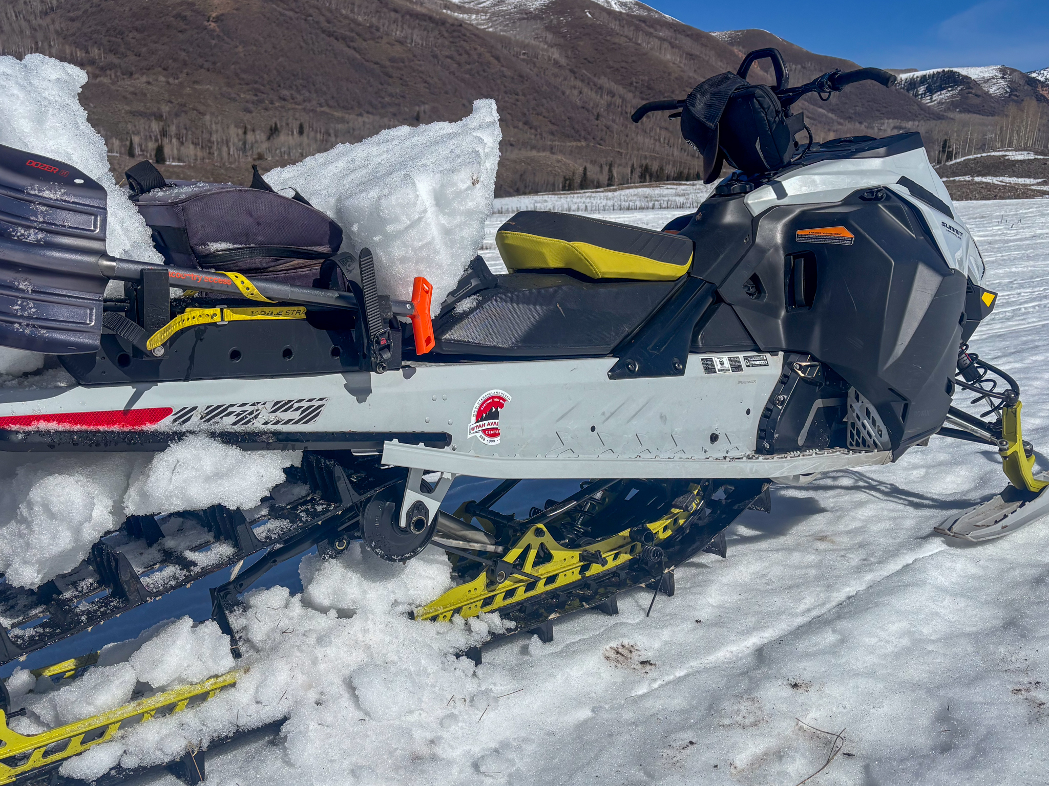 The price of admission is getting higher by the day. Low elevations have been struggling all season to keep up, and many roads up to 9,000' are hurting, making access and getting out of the lot a real crux of the day.
No new avalanche activity has been reported in the last 24 hours. Click below for any recent slides that have been observed, or for travel and condition reports from across the range.

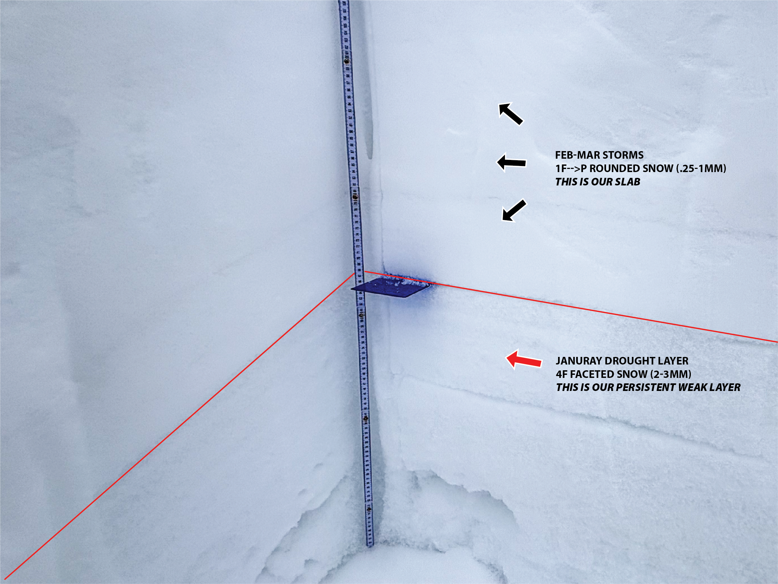 On a north facing slope near 11,000' you can see a cohesive slab sitting over our weak, sugary, facets that have been the culprit of recent human-triggered and natural avalanches. With this weeks historical warm-up, our facets are going to get a historical test and things could get interesting.
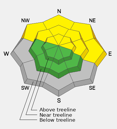
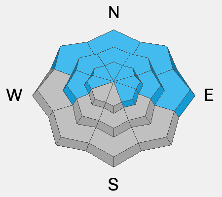
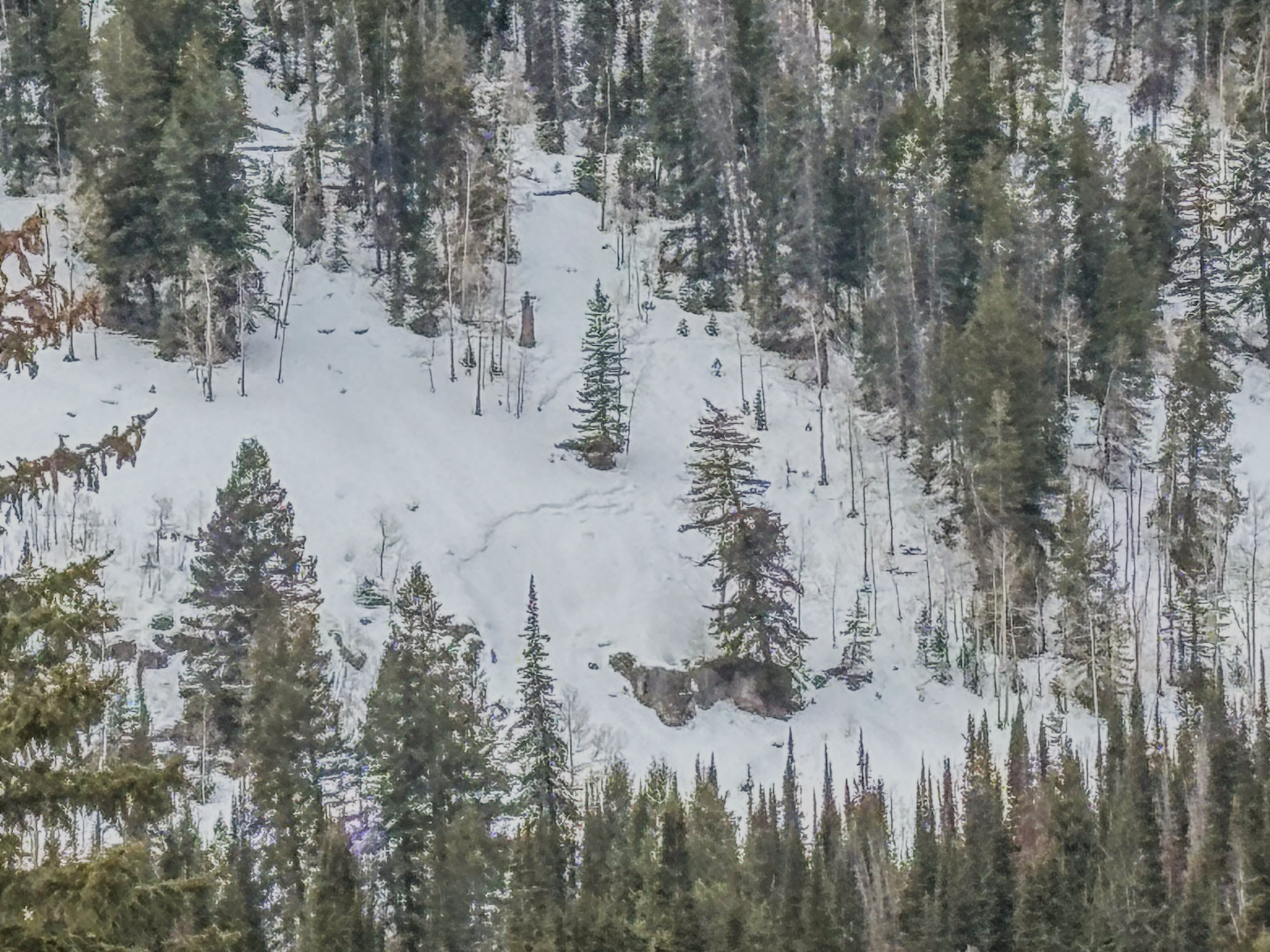 Last week, low elevations slopes on the north half of the compass took on some heat and produced small pockets of wet slabs. These slopes have similar structure to those at upper elevations, and are a potential indicator of whats to come later this week as temperatures reach historical levels.


