Forecast for the Uintas Area Mountains

Issued by Craig Gordon on
Saturday morning, March 15, 2025
Saturday morning, March 15, 2025
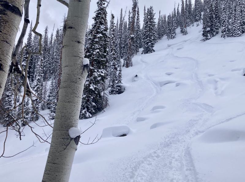
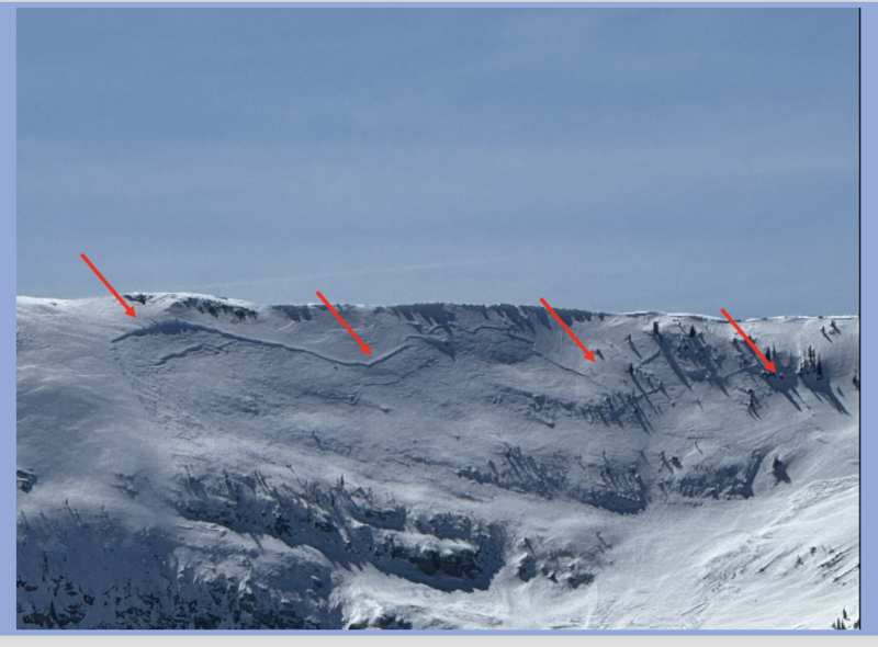
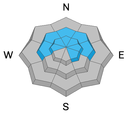
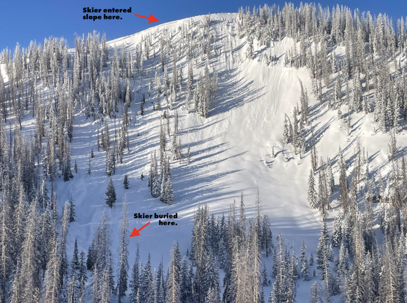
For today, CONSIDERABLE avalanche danger is found on mid and upper elevation slopes, especially those facing the north half of the compass. In the windzone, at and above treeline, human-triggered fresh drifts and storm snow avalanches are LIKELY. Heads up... recent storms add a bit more stress to the snowpack and that may bring PWL out of hibernation, producing a slide that breaks deeper and wider than we might expect. Steep, rocky terrain with a shallow snowpack fits the bill for slopes to avoid. While the snow feels solid under our feet, remember... unusually weak snow still lingers in the snowpack on upper elevation, shady slopes.
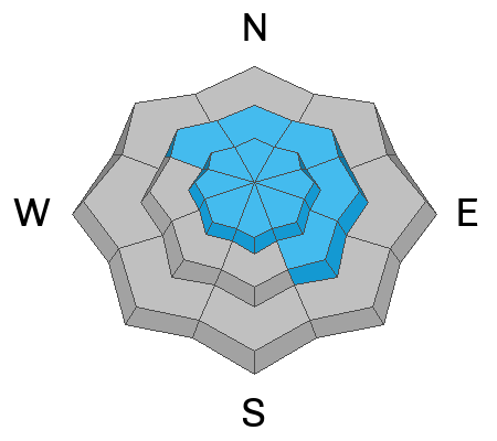
Lower elevation north facing terrain gets in on the act where MODERATE avalanche danger is found and human triggered slides are POSSIBLE on steep, wind drifted slopes.
Most mid and lower elevation south facing terrain offers dust on crust and generally LOW avalanche danger.
Low
Moderate
Considerable
High
Extreme
Learn how to read the forecast here