Forecast for the Uintas Area Mountains

Issued by Craig Gordon on
Wednesday morning, February 8, 2023
Wednesday morning, February 8, 2023
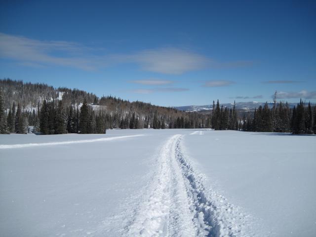
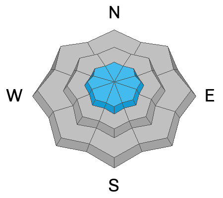
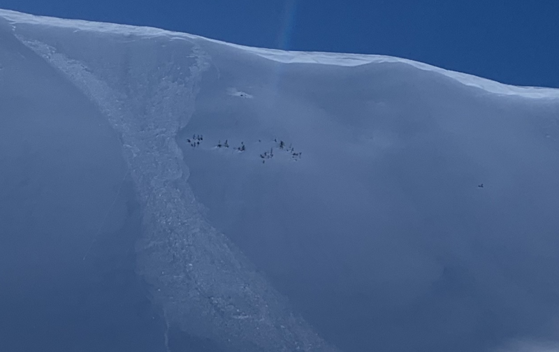
Hardly widespread, pockets of MODERATE avalanche danger focus their sights on upper elevation, leeward terrain in the wind zone. Human triggered avalanches are possible, especially on steep slopes with recent deposits of wind drifted snow, and particularly in terrain with an easterly component to its aspect. Lose some elevation, you lose the wind, and you lose the problem. Generally LOW avalanche danger is found on lower elevation terrain where human triggered avalanches are UNLIKELY.
Low
Moderate
Considerable
High
Extreme
Learn how to read the forecast here