Observation: Whitney Basin

Observation Date
2/7/2023
Observer Name
Ted Scroggin
Region
Uintas » Whitney Basin
Location Name or Route
Whitney Basin
Weather
Sky
Few
Wind Direction
Northeast
Wind Speed
Calm
Weather Comments
A few clouds around, but generally clear skies and mostly calm winds even on the ridge lines. Temperatures were quite nice and did not get too warm to affect the snow quality.
Snow Characteristics
New Snow Depth
10"
New Snow Density
Low
Snow Surface Conditions
Powder
Dense Loose
Snow Characteristics Comments
It was a nice little storm from Sunday/Monday with anywhere from 8-10" of low density snow that mostly covered the old tracks and was a good re-set.
Red Flags
Red Flags
Recent Avalanches
Wind Loading
Red Flags Comments
A couple fairly recent natural avalanches probably from a cornice fall on a wind loaded slope. Not a lot of wind transported snow today where I traveled, but there is lots of evidence of recents wind that have drifted snow into big large drifts on some of the bigger slopes around the Whitney area.
Avalanche Problem #1
Problem
Wind Drifted Snow
Trend
Increasing Danger
Problem #1 Comments
Winds were not a real big issue today with generally light to clam northeast winds, but looking at the next small storm it is forecasted to arrive with strong winds and there is plenty of light density snow to drift.
Comments
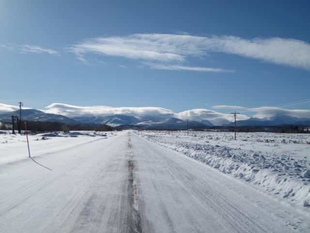
Pretty cool clouds hanging over the higher peaks this morning, I think these are signs of strong winds at the higher elevations.
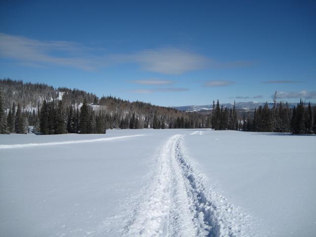
A nice little storm for the north slope with around 8-10" of low density snow that covered most of the old tracks.
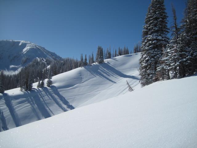
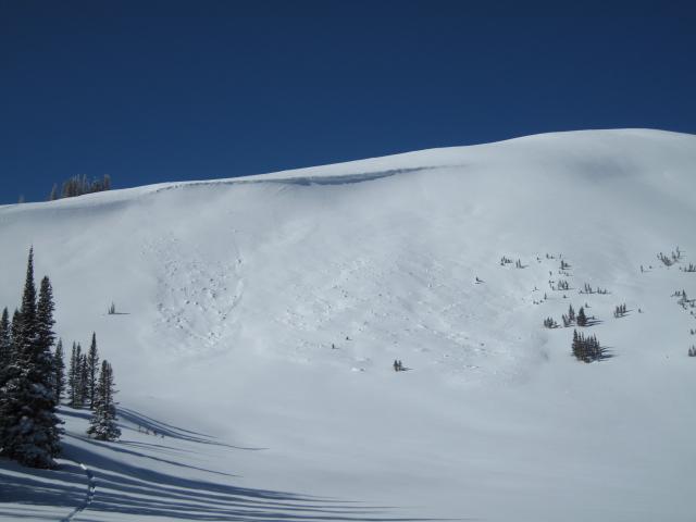
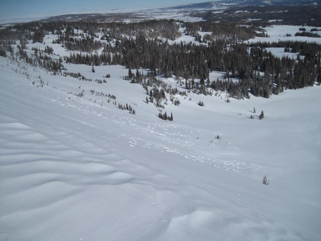
Looks like some natural avalanche activity on this northeast facing slope in Whitney Basin. My guess is a cornice fall triggered this slope and entrained a decent amount of snow as it hit the slope. Strong winds the last few days drifted the low density snow and created large cornices.
Today's Observed Danger Rating
Moderate
Tomorrows Estimated Danger Rating
Moderate
Coordinates