Forecast for the Uintas Area Mountains

Issued by Mark Staples on
Friday morning, February 18, 2022
Friday morning, February 18, 2022
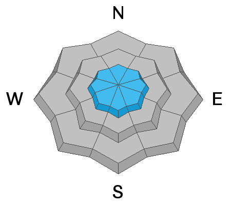
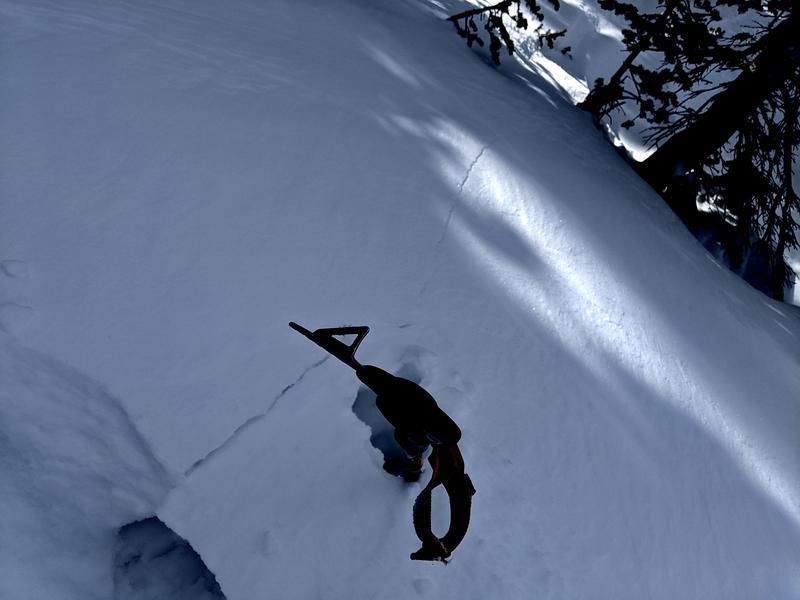
The very low-density new snow from Wednesday was easily transported by winds at upper elevations where you can find soft slabs of wind drifted snow that could be triggered today. For this reason the avalanche danger is MODERATE above treeline. Near and below treeline where winds didn't transport snow, the danger is LOW and human triggered avalanches are unlikely.

Low
Moderate
Considerable
High
Extreme
Learn how to read the forecast here