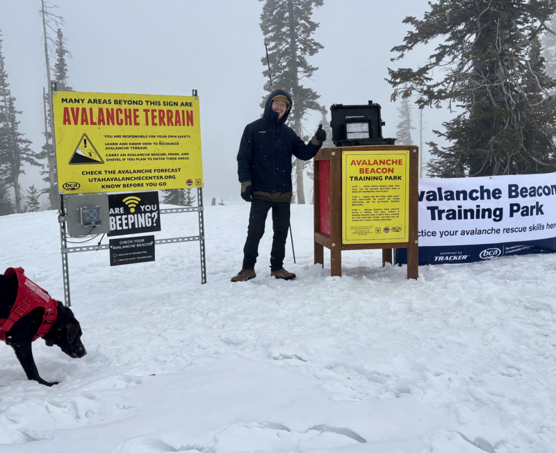
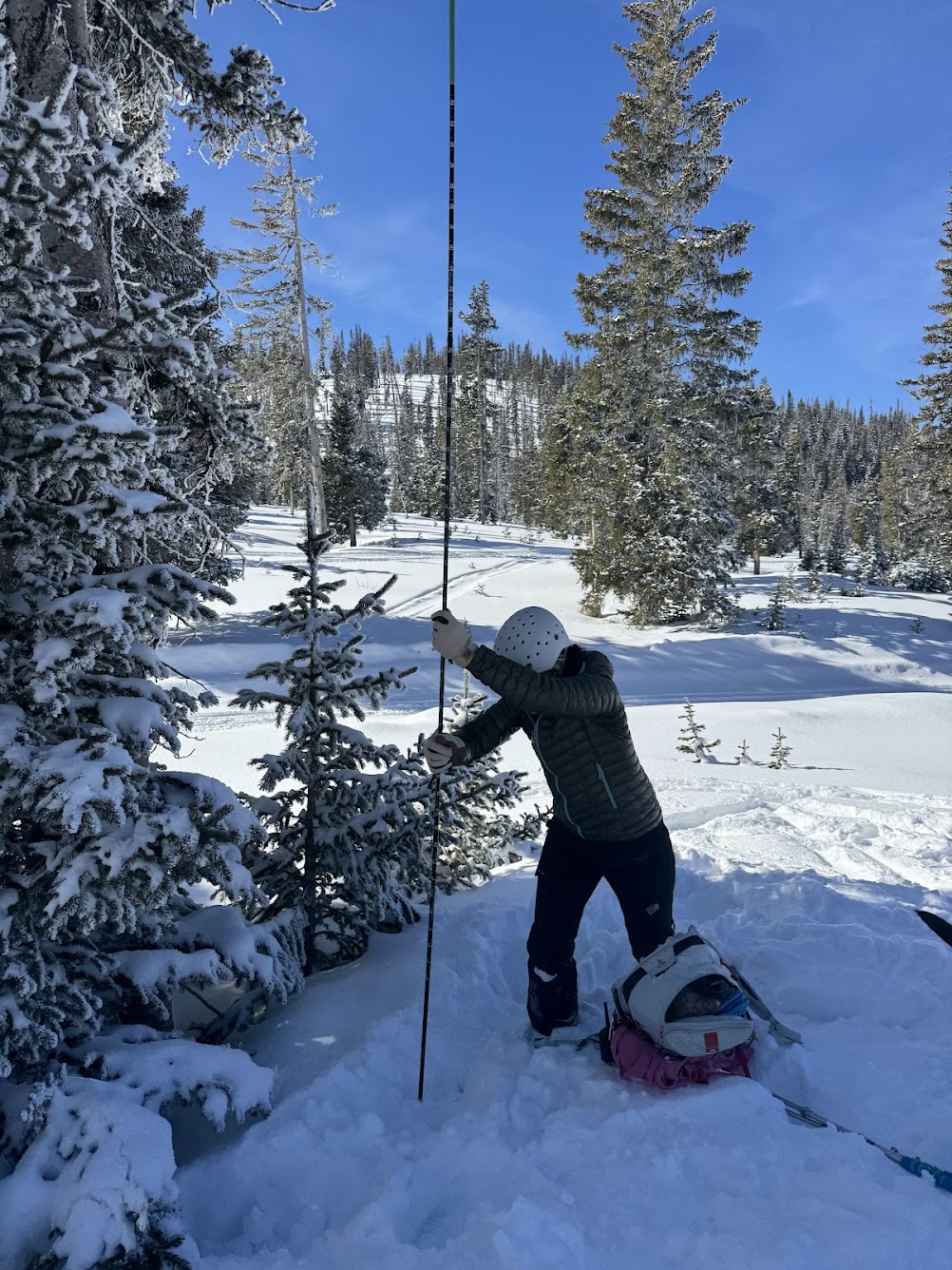
Join the UAC for the first "Stay and Play Avalanche Course" at Bear River Lodge in the Uintas, March 19th-22nd. This course is designed for snowmobilers by snowmobilers, where you will learn avalanche rescue, riding skills, and how to survive in the backcountry. Come enjoy all the luxury offerings at Bear River Lodge and improve your skills along the way.
Nowcast - Thin clouds open up the morning overhead with mild, ambient temperatures in the mid-20's°F from trailheads to the high peaks. The real story is the winds, blowing from the southwest cranking out a 30 MPH average over the past 5 hours. Gusting into the 40's drops the temperatures and windchill down to 1°F at upper elevations.
Forecast - High-pressure trends through today with partly sunny skies with increasing and scattered cloud cover later this afternoon. Steady temperatures, with a high of 30°F will be paired with continued, moderate to strong winds from the southwest blowing in the 30's and 40's up high.
Futurecast - High pressure shifts to the east later tonight, opening the storm door with several systems slated to slide through northern Utah this week. The first impulse moves into our region late Monday with strong southerly winds and a warm before the storm. No guarantees yet, but we could be looking at 1-2' of accumulation with nearly 1-1.5" of SWE -- Tune into tomorrow for more storm updates.
Travel Conditions - The Uinta's got a decent refresh earlier this week after about a month without significant snowfall. At lower elevation trailheads, especially on solar aspects, the vibe feels late spring, but turn the corner towards polar slopes, gain some elevation and things quickly turn to winter. The snowpack, in general ranges from 1-4' deep, and is mostly right side up in protected, sheltered terrain providing quality travel and riding. At upper elevations in the windzone, this weeks storm snow is resting on a variety of surfaces from old drifts, to rocks, to faceted snow, creating a tricky set-up when traveling in the high-country. Warm temperatures over the past few days and strong solar input have turned most sunny slopes crusty, while cold, shady slopes continue to hold and protect dry powder for the taking.
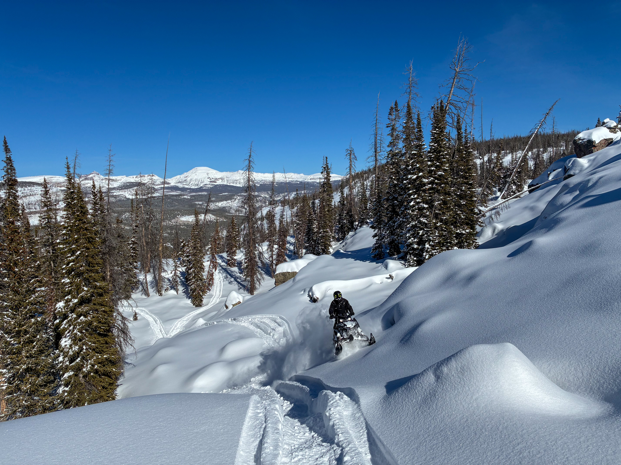 Mr. Dan G and his riding posse out ripping in the Uinta periphery enjoying our recent refresh and taking advantage of a quick break in the storm pattern.
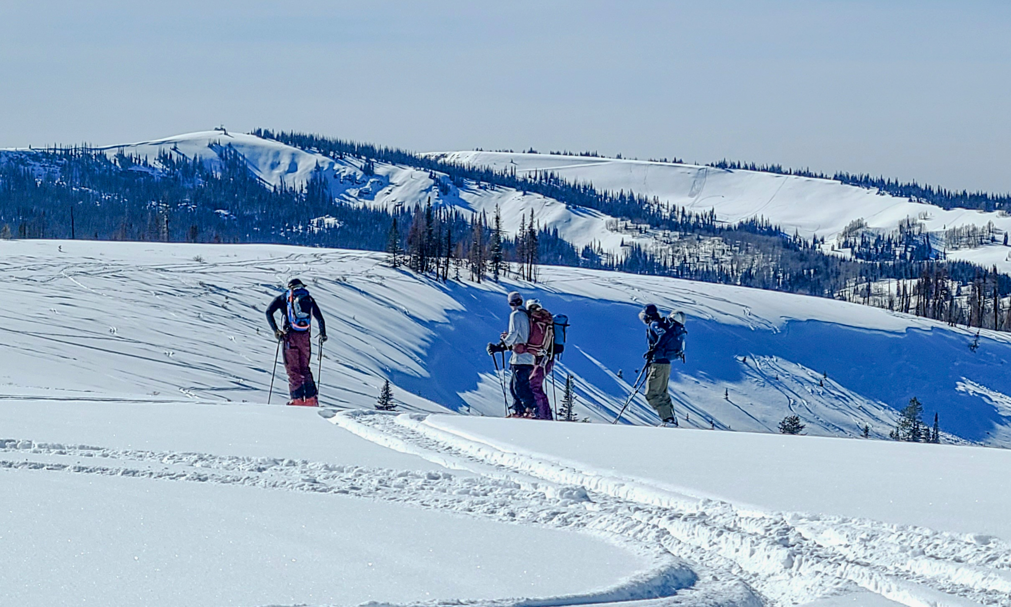 On Wolf Creek Pass, all kinds of folk were out riding and sliding around taking advantage of the sunshine, easy access, and quality riding (via. K.Waller).
Yesterday, a few old avalanches were reported but no significant slides have been observed in the past 24 hours.
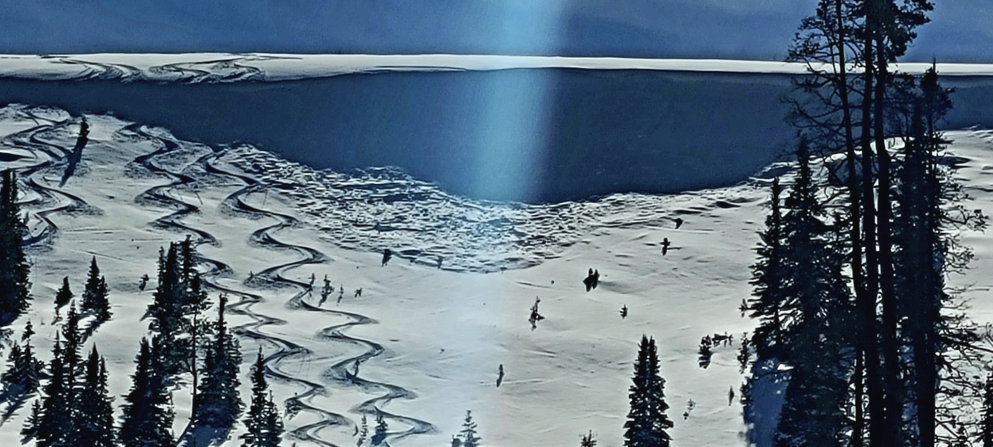 Above, is an old wind-drift that failed earlier in the week and was observed yesterday, near Neeley Basin just west of Wolf Creek Pass (via. K.Waller).









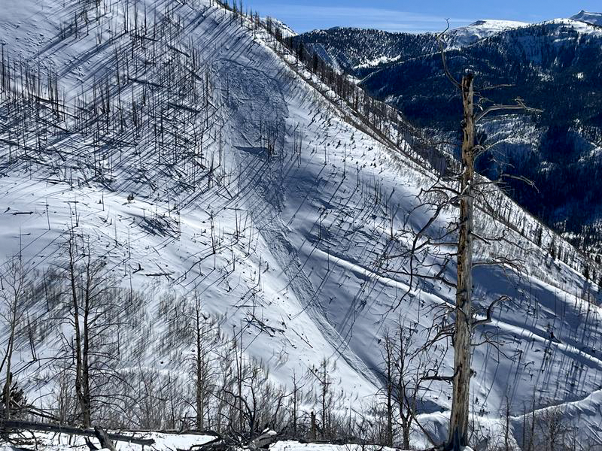 North Slope local Ted Scroggin, was in the East Fork of the Bear River zone and noted multiple persistent slab avalanches at mid and upper elevations from the recent cycle that occurred earlier this week. See more from Ted,