Nowcast - Record warm temperatures, a solid stream of Christmas moisture delivering buckets of rain, buckets of tears, followed by hurricane force winds... what a way to run a winter! Clouds scream by the high peaks at o'dark as winds blowing in the 40's from the southwest pelt the ridges. Cold air finally worked it's way into the Uinta zone overnight and current temperatures register in the mid to upper 20's °F. Riding and turning conditions... godspeed out there today. Life is sad, life is a bust, all you can do, is do what you must.
Forecast - Look for mostly cloudy skies and scattered snow showers this morning into about midday. High temperatures bump into the low 30's °F while winds blowing 30-50 mph from the southwest, continue hammering the high peaks. Really... a storm is on the way, thanks for being so patient. Colder air slides into the region overnight as winds shift to the west and northwest and finally relax somewhat. Snow begins in earnest late tonight and continues stacking up through Saturday. I'm still thinking storm totals in the 12 inch ballpark with an inch of water by closing bell tomorrow.
Futurecast - A few lingering snow showers are on tap for Sunday with a drying trend slated to kick off the work week.
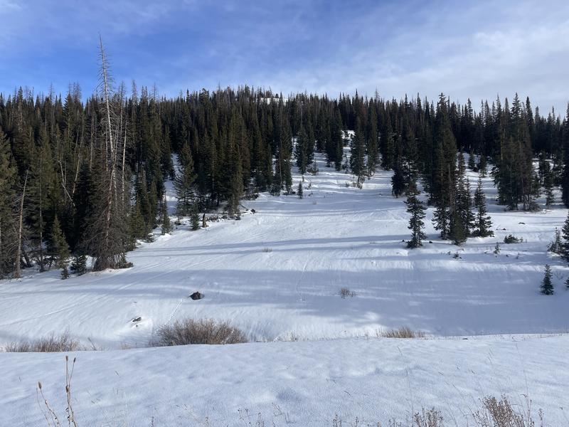
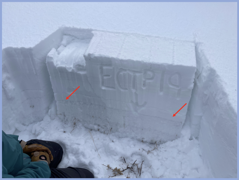
Travel Conditions - You shoulda been here yesterday! After braving a rough start and an international hazmat incident while fueling up in Kamas, our intrepid travelers Noah and Trevor, forged into the upper reaches of Mill Hollow and were rewarded with a stout raincrust all the way up to the high peaks. Their all-time Christmas outing and most excellent trip report is found HERE.
Vehicle access to Mirror Lake Highway (HW150) and Bald mountain Pass is shut down, while SR-35 (Wolf Creek Pass) remains open.
No new avalanche activity to report, but click on the button below for a look into the history of this seasons events.