Merry Christmas to all who celebrate! Today's tale for Trevor and I began not with jingle bells, but with the sound of ten gallons of gasoline baptizing the gas station pavement - my snowmobile's gift to Santa Claus himself. Nothing says Yuletide quite like mopping up fuel on Christmas morning, but fortune smiled when a good soul loaned us a rig that actually held its fluids. One man gathers what another man spills.
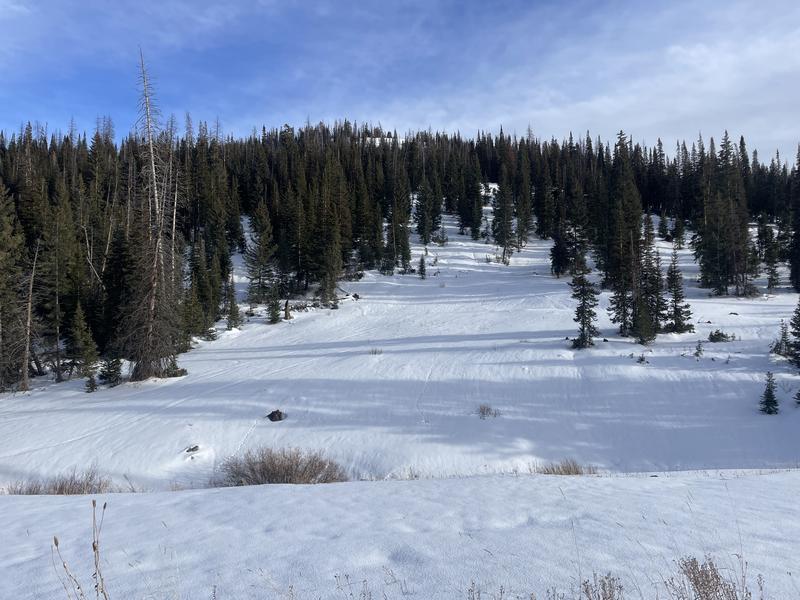
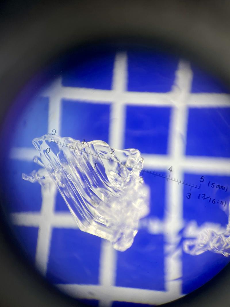
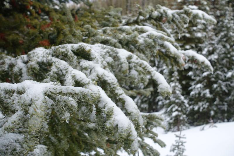
Trevor and I made our way up to the Mill Hollow zone, and boy did it show us cold rain and snow. Our overnight rain event proved widespread in its distribution - reaching every elevation in the zone with an thin, icy cap. It surely looked like rain, felt like rain - all the way to 10,000 feet. The evidence was inescapable: a thin rain crust sandwiched with graupel garnishes on both ends. Lower down towards 9000ft, rain runnels etched into the snowpack by the Dire Wolf's own fang marks.
I'd rather be in some Mill Hollow, even if the sun decided to skip our travels for most of the day. As estimated prophets, we traveled high to trace our rainline towards the yellow sky and blue sun, to check in on our persistent slab problem after our warm storm overnight. Yesterday's pit at Wolf Creek Pass told one story; today at 9900 feet on a north aspect, Mill Hollow echoed the same narrative. Strong and moist, recent storm snow sits atop basal facets and depth hoar - the structural consistency between zones speaks volumes about our Uinta snowpack on the Northern half of the compass.
Just a box of rain, believe it if you need it, if you don't just pass it on - but this rain left its calling card everywhere we looked. Punchy, unfavorable surfaces made for rigorous low-angle turns that tested our holiday cheer. A Mississippi half-step was required, staying light so you wouldn't kiss your knees 'toodeloo'. The rain/snow line wrote itself clearly across the landscape: trace new snow that fell before the hypothesized mid-storm warm-up above 9000ft, then rain followed by a snap freeze. Topped off with another dusting from Stella Blue's rusty strings for good measure.
So here's what we have for your stocking this Christmas: our persistent weak layer is old and in the way, overnight rain effects were observed to be widespread below 10,000 feet, and if you're planning to ride, maybe check your fuel lines and gaskets first. Stay safe out there, as we bid you goodnight!
Happy Holidays from the Uintas!