Our Holiday Auction closes Dec 16th! Check it out now to gear up for winter while supporting avalanche forecasting, awareness, and education across the state!
Nowcast - Near the high peaks at o'dark thirty, winds blow 10-20 mph from the west and northwest, ushering in a band of high, thin clouds. We're getting close to the shortest day of the year, yet temperatures hover near freezing across the board.
Forecast - An incoming storm is at the doorstep, so look for increasing clouds with temperatures climbing into the mid 30's F. Winds blow from the west and northwest, in the mid 20 mph range for a good portion of the day, bumping into the 40's by about dinnertime.
Futurecast - The storm slides into the Uinta zone early Wednesday morning with snow showers developing right around sunrise. It's a warm, windy system and storm totals aren't particularly impressive, though I think we'll stack up 4" of dense, heavy snow. Just what we need right now... a thick coat of white paint. A break is on tap for Thursday with another moist system in the queue for Friday.
______________________________________________________________________________________________________________________________________________________________________
Travel Conditions - From sun crust to wind-board, facets to near-Solstice slush, it's a crap shoot, especially in the alpine. However, you can minimize the house odds and avoid rolling a set of snake eyes by steering towards low angle, wind sheltered, shady terrain. Or get some chores done today and tomorrow and wait for the storm to stack up a little cushion for a smoother, more reliable ride :)
From an avy perspective, the snow surface and overall coverage are a variable, mixed bag of both strong and weak snow. Once winter returns from it's tropical hiatus it'll offer a tricky setup.
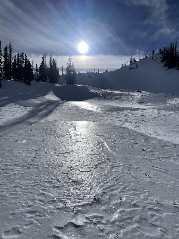
Trevor was in upper Moffit Basin yesterday and ran into Charlie, Martin, and of course the always elusive and rarely photographed, Ice Sheen (pictured above).
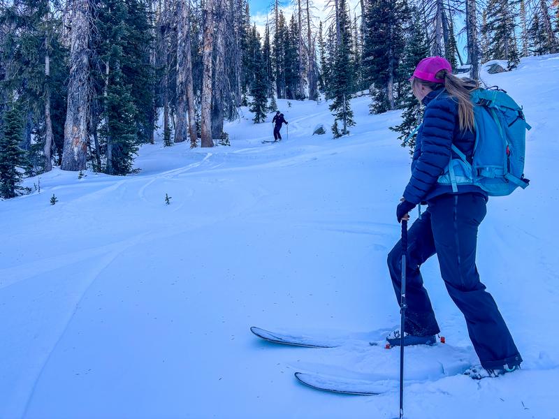
On Sunday, Andy and his crew found some mellow, yacht-rock jamming near Murdock Peak on a wind sheltered, shady, polar aspect and scored some low tide, low angle love.
No new avalanche activity to report, but you can find lots of travel reports and observations from across the range and beyond below.