UDOT PLANNED AVALANCHE CLOSURES!!

Forecast for the Uintas Area Mountains

Craig Gordon
Issued by Craig Gordon on
Sunday morning, October 29, 2023
Welcome back.... I missed you!
Thanks for checking in and stay tuned... we’ll issue updates as conditions warrant. Regular forecasts and danger ratings are weather dependent, though often start in early December.
PLEASE REMEMBER - I know we're stoked to see early season snow, but once we start stacking flakes on the ground we need to remember- if there's enough snow to ride... there's enough snow to slide. Early season avy conditions are often tricky and certainly dangerous. Of note was a “day of madness” on November 13, 2011 when the wheels didn't just wobble, they completely came off the bus! Read more here and listen to the podcast so we don’t repeat our history.
Low
Moderate
Considerable
High
Extreme
Learn how to read the forecast here
Special Announcements
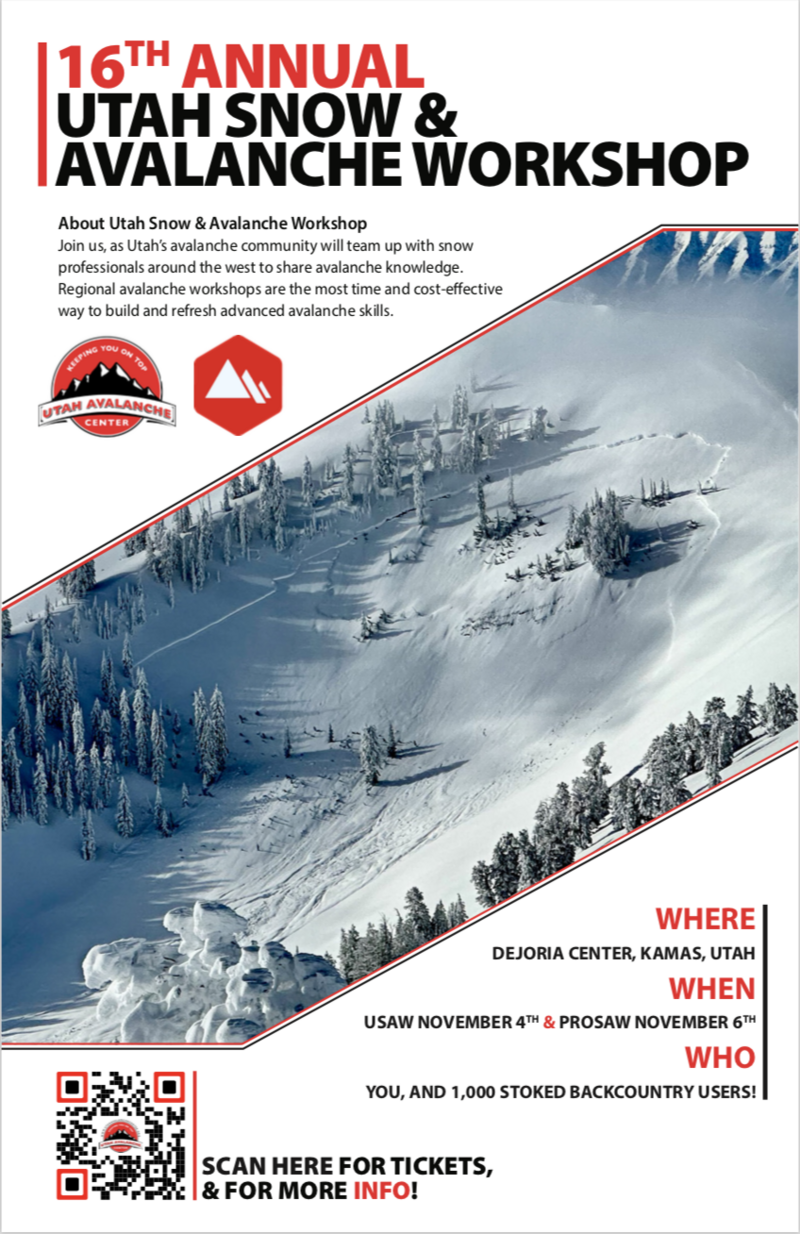
Sign up for the 16th Annual Utah Snow and Avalanche Workshop (USAW) IN PERSON, November 4th at the Dejoria Center in Kamas, UT. Sign up and get more info HERE.
The Professional Snow and Avalanche Workshop (PROSAW) will be November 6th at the Dejoria Center in Kamas, UT. Sign up and get more info HERE.
Weather and Snow
Thursday's storm steered towards the North Slope, delivering about 9" of snow with right around .80" H2O... in other words, medium density storm snow. Half that amount stacked up on the south half of the range. Coupled with the mid October coat of white paint there's less than a foot of settled snow, which is hardly enough base to move around on. The bad news is... this isn't a particularly robust start to winter. The badder news... clear skies and cold temperatures this week create the perfect environment for the snowpack to grow weak and sugary.
So here's what we can do so we don't get surprised once winter returns from its hiatus. If you're out for a drive around one of our upper elevation byways, fire off a few digi images on your phone of the terrain where snow currently exists, especially slopes facing the north half of the compass where weak basal layers will grow at a turbo-charged rate. Mapping out current snow coverage and distribution gives us an edge. We can use this as a touch point and cross-reference where potential weak layers, booby traps, and landmines may lay once it starts storming again and everything turns white.
Weather wise... high pressure camps out overhead, delivering cold, dry weather this week with a hint of a storm towards the end of the week.
Ad
Additional Information
It’s never too early to start thinking about avalanches. Here's a few things to add to your cerebral post it note to-do list:
  1. Attend USAW and learn more about avalanches and decision-making.
  2. Sign up for an avalanche class.
  3. Take a free online avalanche course the UAC built for Know Before You Go or other courses listed on the KBYG website (Develop skills -> Online Learning).
  4. Get your avalanche rescue gear ready for winter. Put fresh batteries in your transceiver and update the firmware. Inspect your shovel and probe. Get your airbag backpack ready by possibly doing a test deployment and updating the firmware if it is an electric version.