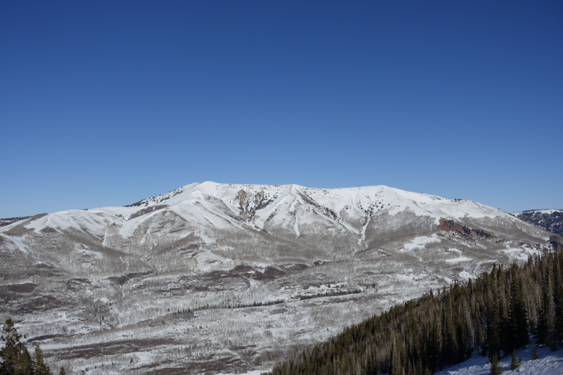
Forecast for the Uintas Area Mountains

Craig Gordon
Issued by Craig Gordon for
Thursday, January 4, 2024
For today, you'll find generally LOW avalanche danger and human triggered avalanches are unlikely on the eastern front. At this juncture, slamming into a buried treasure like a rock or stump poses a greater hazard.
We're still in a holding pattern waiting for the tour bus-
A series of storms announced their upcoming January shows and it looks like the supporting act arrives with an acoustic set Friday afternoon, but the main event plans to plug in with a fully electric gig late Sunday. The soundcheck I've heard suggests a more complicated avy danger going into next week. We'll keep ya updated as the setlist gets sorted through.
Low
Moderate
Considerable
High
Extreme
Learn how to read the forecast here
Special Announcements
Have I got an offer for you!
Sign up for forecast region-specific text message alerts. You'll get the real-deal about changing avalanche conditions, watches, and warnings.
Click HERE for more deets.
Weather and Snow
Nowcast- A weak storm slid through the Uinta zone overnight delivering an evenly distributed, yet shallow coat of white paint throughout the range. It's o' dark thirty and thick clouds drape our mountains as temperatures register in the teens across the board. After a brief midday foray in 20's and 30's, winds blowing from the south mellowed into the teens right around supper time and continued in that spirit through the small hours of this morning.
Forecast- Look for mostly cloudy skies with on again, off again snow showers throughout the day. Winds switch to the west and northwest and pick up a little steam, blowing in the upper 20's and low 30's near the high peaks. Cooler temperatures are on tap with highs barely scratching into the mid 20's. Overnight lows dip into the low teens.
Futurecast- Friday's storm looks a bit more promising and gets going late in the day, stacking up 6"-8" overnight. A break in the action for Saturday and then a series of cold and potentially wet storms are slated for Sunday, continuing through next week. Still lots of variables, but the overall pattern looks promising.
From Moffit Peak to Upper Whitney Basin, there's plenty of great trip reports found HERE.
Recent Avalanches
On Monday, Mark captured this facet-slufff-alanche triggered by a skier on the very steep east face of Moffit Peak, reflecting just how weak the surface snow has grown in the past couple weeks.

Trip reports and the latest observations are found HERE.
Ad
Avalanche Problem #1
Normal Caution
Type
Location
Likelihood
Size
Description
Joey captured this stunning image, illustrating the striking beauty of weak snow.
Let's face it... there's no shortage of weak surface snow on nearly every aspect and elevation, even stretching up to the ridges throughout the range. From near surface faceting to surface hoar, it's been a blast riding the loud pow for the past couple of weeks. However, that party got put to bed overnight and I suspect the hangover is about to set in as last night's dusting of snow buried and preserved the weak, sugary surface snow. Now, here's where the rubber hits the road... we may forget about these different layers of snow, but the snowpack has an impeccable memory.
The hazard remains predictable for the moment, but with more storms on the way through the weekend, we'll start building a slab on top of this sketchy mess and I suspect the avy danger is gonna get tricky.
Mark posted a great ob from his Moffit Peak travels Monday and explains the method of the mountain madness HERE.
Additional Information
The Uinta weather station network was upgraded this summer and all that real-time info is found HERE. Simply click on "western Uinta" tab and then "weather stations" tab.

We are always looking for snow and avalanche observations or just general riding conditions. So... if you see something, say something. You can reach me directly at [email protected] or 801-231-2170.
Also, if you're looking for more avy education opportunities for yourself, your crew, or your club please don't hesitate to reach out to me and we'll find a presentation, class, or clinic for ya!
General Announcements

Issued at 0415 on Thursday, January 4th this forecast will be updated by 0700 Friday, January 5th, 2024.
This forecast is from the U.S.D.A. Forest Service, which is solely responsible for its content. This forecast describes general avalanche conditions and local variations always occur.