Forecast for the Uintas Area Mountains

Craig Gordon
Issued by Craig Gordon for
Monday, January 31, 2022
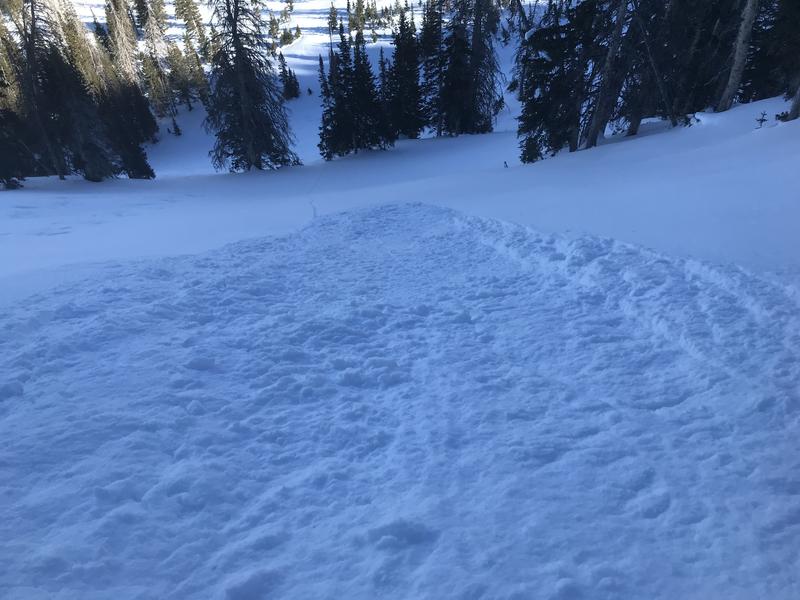
Today, you'll find LOW avalanche danger and human triggered avalanches are unlikely on all aspects and elevations.
Although avalanches are unlikely, there is always some chance of triggering a slide which is why we always carry avalanche rescue gear. Consider a quick (5 minutes) practice run with your avalanche transceiver at one of the Beacon Basin training sites at Bear River or Nobletts trail heads.
Low
Moderate
Considerable
High
Extreme
Learn how to read the forecast here
Weather and Snow
NOWCAST-
High, thin clouds drift into the region early this morning as the first in a series of weak storms begin sliding through the area later this afternoon. In the meantime, temperatures remain inverted with ridgetops registering in the mid 20's, whilst valley bottoms deliver temperatures in the teens. Southwest winds increased overnight and currently blow 20-30 mph along the high peaks. Riding and turning conditions are a mixed bag, but somewhere in between the old tracks and varying degrees of suncrust, you can still find swaths of soft snow on mid elevation shady slopes.
FORECAST-
Clouds and wind increase as the day wares on. The biggest impact with this first system are gusty winds blowing into the 40's near the peaks and a temperature crash into the single digits overnight.
FUTURECAST-
A slightly stronger, yet still moisture starved system is on tap for Tuesday, bringing the chance for a few snow showers, but not much in the way of accumulating snow.

Looking for real-time temps, snow, or wind?
Click HERE and then on the "western Uinta" tab for western Uinta specific, weather station network.
Recent Avalanches
Other than a few very small, dry, sluffs; there has been no avalanche activity.

Click HERE for a list of recent avalanches.
A list of all other observations is found HERE

Your input is vital and we're interested in what you're seeing. Please contribute to this great community resource and go here to fill out an observation.
Ad
Avalanche Problem #1
Normal Caution
Type
Location
Likelihood
Size
Description
You'd be hard pressed to trigger an avalanche today, though with winds on the rise and just enough old snow to blow around, a rogue pocket or two in a cross-loaded chute above treeline isn't totally out of the question. So, with generally Green Light conditions, of course we're setting our sights on tagging big terrain. However, before diving head first, pump the brakes for a second or two and evaluate each slope on an individual basis. If I'm in steep, committing terrain, I consider the consequences of triggering even a small slide which could knock me off me feet and instantly ruin my day.
Snow geek-speak-
Not much going on at the moment, but looking into the past and present helps us look into the future in terms of snow stability and right now we're focusing on snow surface temperatures which ricochet all over the map. Cold temperatures at night and warm temperatures during the day create very weak, faceted grains close to the snow surface and this is what we call Near Surface Facets (NSF). The NSF was capped and preserved by last Tuesday's few inches of snow. Mark found it last week around Soapstone... captured in the image above.
I found it on steep slopes in Chalk Creek Friday where both the surface snow and NSF are so weak, it simply sluffs, fanning out below you. For now, it won't be an avalanche problem until more snow stacks on top.
Additional Information
While we're waiting patiently for winter to return from its hiatus, take a few minutes and visit one of our beacon parks and test your rescue skills. Ted installed a Beacon Basin at the Bear River Trailhead and there's another park found at the northeast corner of the Nobletts Trailhead.
Your observations are important, so please let me know what you're seeing... click HERE and contribute to this amazing community based program
General Announcements
The information in this forecast expires 24 hours after the day and time posted, but will be updated by 07:00 Tuesday February 1st.
Before it gets too crazy, now is the time to book an avalanche awareness presentation for your group, club, or posse. You can reach me directly at 801-231-2170 or [email protected]
This forecast is from the U.S.D.A. Forest Service, which is solely responsible for its content. This forecast describes general avalanche conditions and local variations always occur.