Current state of the snowpack-
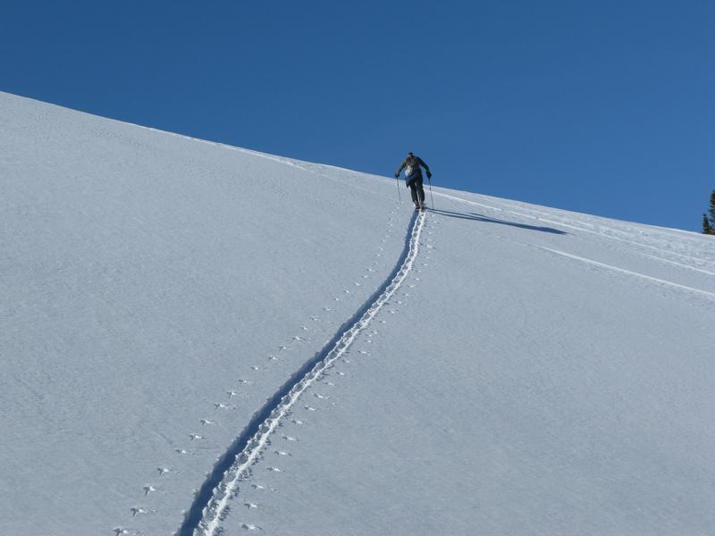
Wow... what a Uinta snowpack! It's taken a minute or two, but finally... our pack is deep, solid, and mostly stable. The big Christmas storm was the game changer not only with snow, but more importantly with big water numbers or what we call SWE... snow water equivalent. So, here's the setup- for a couple of weeks we received a tremendous amount of water weight, storm snow, and nuking winds and all this additional weight and stress was like parking a battleship on top of the weak, early season, sugary base. Yes... some terrain teetered on the edge of failure, some big slopes naturally avalanched, and others held tight. There were a few surprises early in the season, but fortunately everyone came out unscathed with a new found understanding of our snowpack structure.
The good news-
The pack is happy in its own skin, the Persistent Weak Layer (PWL) is trending towards dormancy, and it's time to slowly start stepping into big terrain. And while all the stability indicators align suggesting green light conditions, always take a moment and dip a toe into the water before diving head first. Start with mini golf terrain and see how it's reacting before committing to dive head first into a big line.
What to watch out for-
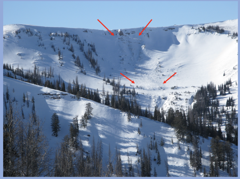
You'd have to go out of your way to trigger a slide today, but the usual suspects come to mind... upper elevation, rocky, alpine terrain above treeline. In other words... anywhere the pack is thin and weak, maybe around a bush or a rock we can't see barely covered over with snow. In terrain with these characteristics you can get an unwelcome surprise and still trigger a slide.
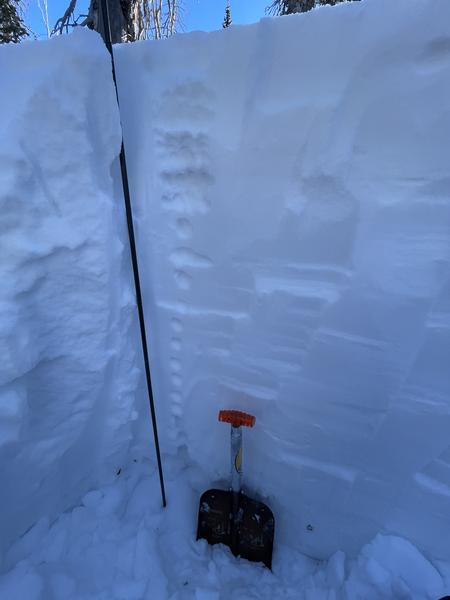
Guide and avy educator extraordinaire, Weston Shirey was near Haystack yesterday and reports 140 cm of settled snow. Weston notes the pack is gaining strength, yet it's not as strong a what he's observed recently in the Wasatch. Weston's informative take on things is found
HERE.