Forecast for the Uintas Area Mountains

Craig Gordon
Issued by Craig Gordon for
Sunday, January 16, 2022
Above treeline, especially in the wind zone, you'll find MODERATE avalanche danger on slopes facing northwest, north, northeast as well as east and southeast. While becoming less likely, you could still trigger a large avalanche, particularly in steep, rocky terrain with a weak, shallow snowpack. All other slopes have a LOW avalanche danger and human triggered avalanches are unlikely.

It has been a remarkable season, and we're incredibly lucky to have such a deep, supportable snowpack that is generally safe on many slopes. This situation is a rare thing most years in the Uintas. Many people have commented that conditions right now remind them of what we typically see in late February or March.
Low
Moderate
Considerable
High
Extreme
Learn how to read the forecast here
Weather and Snow
NOWCAST-
Above the valley gunk a brilliant light is cast on our mountains this morning as we edge closer to a full, Wolf Moon. Temperatures are inverted with ridgetops registering in the mid and upper 20's whilst trailhead locations report in the teens. West and southwest winds bumped into the mid and upper 20's last night and remain in that range early this morning. On a go-anywhere base, it's a great day for exploring our remarkable backyard.
FORECAST-
It'll be a beautiful day in the mountains with mostly sunny skies and temperatures climbing into the mid 30's. Westerly winds remain well behaved, blowing in the 20's along the high peaks. Overnight lows dip into the teens.
FUTURECAST-
High pressure homesteads over the region delivering sunny skies, warm temperatures, and light winds. Unfortunately, there's no big storms in sight.
In between old tracks in heavily trafficked zones and crusty snow on the sunny slopes, the snow remains cold and creamy on most shady terrain in the Uintas. It may not be deep but it's still soft with fun riding and easy skiing and seamless trail breaking.
Coverage is incredible for mid January! Snow depths average three feet at 8000', while at upper elevations that number nearly doubles and consistently registers closer to six feet on all aspects. In the image above, our main man Ted Scroggin effortlessly breaks trail on a bomber base with a little cold, recycled cream on top. Ted and I stomped around Chalk Creek yesterday, finding a remarkable snowpack, providing efficient travel. Our trip report is found HERE.

Looking for real-time temps, snow, or wind?
Click HERE and then on the "western Uinta" tab for western Uinta specific, weather station network.
Recent Avalanches
The last reported avalanche in the Uintas was just over a week ago. It's been quiet since then.

Click HERE for a list of recent avalanches.
A list of all other observations is found HERE

Your input is vital and we're interested in what you're seeing. Please contribute to this great community resource and go here to fill out an observation.
Ad
Avalanche Problem #1
Persistent Weak Layer
Type
Location
Likelihood
Size
Description
Summary/history of the problem-
  • Snow fell in October & early November
  • Dry weather from early November to early December weakened and faceted that snow which morphed into our problem child, the "persistent weak layer" or PWL.
  • Early season snow melted off on south facing slopes
  • Heavy snowfall in December buried the weak layer (PWL) settling a deceptively dangerous setup... dense, strong snow on top of a weak, house-of-cards foundation.
Current state of the snowpack-
Wow... what a Uinta snowpack! It's taken a minute or two, but finally... our pack is deep, solid, and mostly stable. The big Christmas storm was the game changer not only with snow, but more importantly with big water numbers or what we call SWE... snow water equivalent. So, here's the setup- for a couple of weeks we received a tremendous amount of water weight, storm snow, and nuking winds and all this additional weight and stress was like parking a battleship on top of the weak, early season, sugary base. Yes... some terrain teetered on the edge of failure, some big slopes naturally avalanched, and others held tight. There were a few surprises early in the season, but fortunately everyone came out unscathed with a new found understanding of our snowpack structure.
The good news-
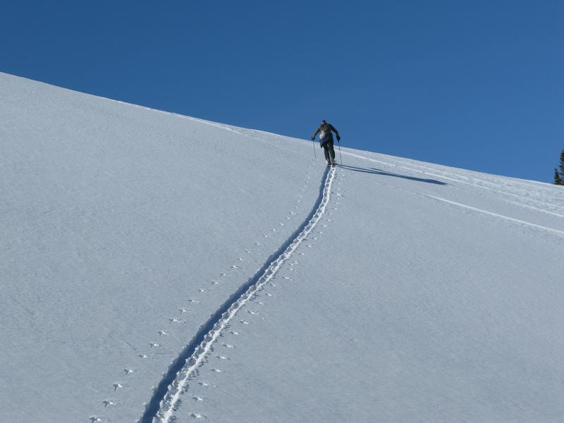
The pack is happy in its own skin and it's time to slowly start stepping into big terrain. And while all the stability indicators align suggesting green light conditions, always take a moment and dip a toe into the water before diving head first. Start with mini golf terrain and see how it's reacting before committing to dive head first into a big line.
What to watch out for-
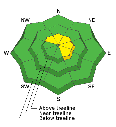
The shaky foundation remains most suspect and easiest to impact in upper elevation, rocky, alpine terrain above treeline. In other words... where the pack is thin and weak, maybe around a bush or a rock we can't see ,barely covered over with snow. In terrain with these characteristics you can get an unwelcome surprise and still trigger an avalanche.
Below is Mark's video from Thursday on the north side of Notch Mountain. Ted and Mark found nearly identical conditions that I found further south the day before in this video.
Master observer and snowpit profile artist JG, was recently in upper Weber Canyon and found similar conditions... a deep, strong snowpack that is giving us more confidence to start stepping out into steeper terrain and tagging bigger objectives.
*ALSO of note - I too recently stomped around in upper Weber Canyon, wanting to look at terrain that previously avalanched, because sometimes those slopes flush out and leave behind a shallow snowpack, becoming future problems or what we call repeater slopes. But here's the good news- most of the terrain that slid during December storms, immediately refilled with snow and they didn't have time to develop weak layers. For that reason, they have a slightly shallower snowpack, but the weak layer has become stronger on those slopes just like on ones that didn't slide.
Additional Information
Yesterday, we installed the Beacon Basin training park at Nobletts Trailhead. Huge thanks to Wasatch and Summit County SAR, along with BCI for all the support making this potentially life saving resource available to our entire community.
Your observations are important, so please let me know what you're seeing... click HERE and contribute to this amazing community based program
General Announcements
The information in this forecast expires 24 hours after the day and time posted, but will be updated by 07:00 Monday January 17th.
Before it gets too crazy, now is the time to book an avalanche awareness presentation for your group, club, or posse. You can reach me directly at 801-231-2170 or [email protected]
This forecast is from the U.S.D.A. Forest Service, which is solely responsible for its content. This forecast describes general avalanche conditions and local variations always occur.