Forecast for the Skyline Area Mountains

Issued by Brett Kobernik on
Tuesday morning, November 3, 2026
Tuesday morning, November 3, 2026


 Weather and Snow
Welcome to the 2026-27 winter season. We are just gearing up now for the upcoming winter. There's a little snow in the high country but not enough to produce any avalanche danger yet. We are monitoring conditions closely from here on.
Previous weather: There was a significant weather pattern shift in mid October which cooled temperatures and started a parade of closed low pressure storm systems that marched through the southern US. This pattern shift is responisible for all the flooding around the southwest. It hasn't been as outrageous here on the Skyline but we have had decent moisture. Since the start of the water year (Oct 1st) we've received 5 to 7 inches of water in our mountains. This has been mostly in the form of rain but the peaks got dusted a few times. The most recent storm brought the coldest temperatures of the season and the rain/snow line dropped down to around 7500 feet. There are currently 2 to 5 inches of snow on average across the higher terrain.
Weather outlook: You've probably heard some hype about El Nino and how it's going to be a big winter. Let's hope so but just because we have a strong El Nino doesn't guarantee a big winter for us. Here's what we know. There is no doubt a strong El Nino effect right now which is forecasted to peak in late November to early December. Ocean temperatures along the equator west of South America are very warm. This is the El Nino effect. The recent weather pattern definitely aligns with what you'd expect in an El Nino pattern; wet in the southwest US. Here's what we don't know. We don't know how much moisture will continue to be fed into our local region. There are more factors than just the El Nino effect that influence our weather patterns. The polar jet plays a big role. Also, record warm ocean temperatures in different parts of the world are a factor and we don't know how that will interact with the El Nino effect and the polar jet.
The bottom line is, no one really knows how much snow we're going to get here on the Skyline this winter. My personal take is that this winter will be better than last winter, which isn't saying much considering it was a record breaking lean winter last year. Regardless of what we get, I'm getting excited about winter and look forward to forecasting avalanches and weather for you guys again. See you soon!
PHOTO BELOW: Snow level down to around 7500' in the foothills around Pleasant Creek above Mt Pleasant. Kobernik
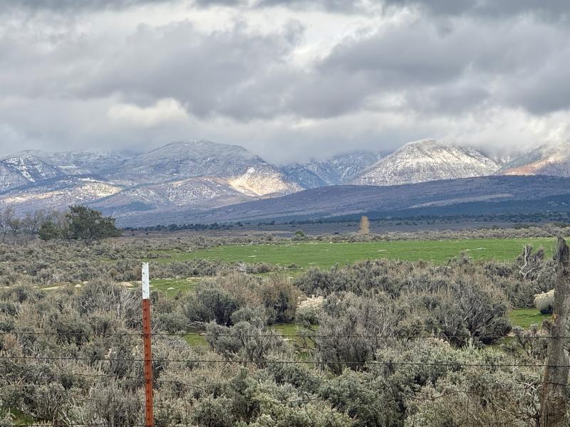
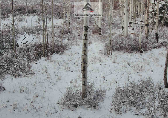
PHOTO BELOW: Image from Snow Big Deal snow tree at Fairview Lakes, 8800'.