Forecast for the Skyline Area Mountains

Brett Kobernik
Issued by Brett Kobernik for
Friday, April 1, 2022
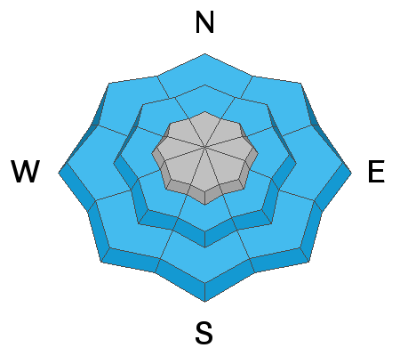
The avalanche danger starts out LOW this morning and may increase to MODERATE this afternoon as the snow gets wet from daytime heating.
The most likely places to find trouble would be in the mid elevations later this afternoon.
Avoid steep slopes if you find yourself punching knee deep through wet sloppy snow.
Low
Moderate
Considerable
High
Extreme
Learn how to read the forecast here
Special Announcements
We'd like to thank our incredible community for your support of the 2022 Spring Campaign. We raised $75,000 in two weeks to help grow our avalanche forecasting program. Thank You!
Weather and Snow
Current Conditions
With cooler temperatures over the last 48 hours the snowpack has firmed up and gotten more supportable. This directly relates to stability and things are definitely more stable. Last night was the coldest night yet with lows down to 20 or even the upper teens. Northwest wind has picked up in speed but nothing crazy. Moderate speeds along the ridges. You'll find a melt freeze crust on the surface in most places this morning. This will soften as the day goes on.
Mountain Weather
We'll have sunshine and temperatures into the mid 30s to around 40 with light west wind. Saturday looks pretty nice as well with warmer temperatures. We will probably see some clouds moving in later on Saturday and the west wind will increase to a moderate speed range. There's a minor storm that moves through to our south on Sunday but won't produce much more than clouds for us. We have a better chance at some snow Monday night into Tuesday.
Ad
Avalanche Problem #1
Wet Snow
Type
Location
Likelihood
Size
Description
Colder temperatures over the last 48 hours have sure helped stabilize the snowpack. There really isn't much concern about avalanches today. One thing to keep in mind is that later on after the snow has softened up there could be some minor wet avalanche activity in the mid elevations. If you find yourself sinking into the snow up to your knee or thigh, you'll want to avoid steep slopes and stay out of gullies and ravines with steep walls. We should see a solid freeze again tonight so I'm anticipating good stability on Saturday also.
General Announcements
This forecast is from the U.S.D.A. Forest Service, which is solely responsible for its content. This forecast describes general avalanche conditions and local variations always occur.