Forecast for the Skyline Area Mountains

Brett Kobernik
Issued by Brett Kobernik for
Saturday, March 16, 2024
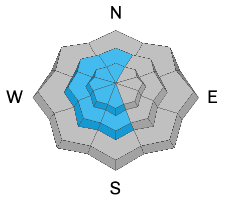
The overall avalanche danger rating for the Skyline is MODERATE.
Consistent wind from the east has formed lots of areas of wind drifted snow in the upper elevations.
I did not find any of these drifts or slabs to be sensitive during my fieldwork on Friday but I'm sure if you hit the right one, it will crack out and release.
Avoid any steep slope with recent deposits of wind drifted snow.
Low
Moderate
Considerable
High
Extreme
Learn how to read the forecast here
Special Announcements
Support the UAC website rebuild by donating to our spring campaign. Save lives by making a donation today! DETAILS HERE
If you're heading into the desert to enjoy some of the warm weather this week, The Utah Avalanche Center is hosting The Banff Film Festival in Moab on Thursday, March 21, and Friday, March 22. DETAILS HERE
Weather and Snow
Current Conditions: The cold snow powder party from Thursday came to an abrupt end on Friday. Wind and warm temperatures took a toll on the good riding. Upper elevations have crusts, thick bottomless drifts, and rock hard drifts. Lower elevations became damp and were getting sloppy by the end of the day. You can still find some decent riding in sheltered mid elevation terrain if you sniff around. There was some light snowfall that didn't add up to much on Friday. Wind from the east continued to be breezy over the last 24 hours. Temperatures are in the upper 20s.
Mountain Weather: We'll see mostly cloudy skies today with temperatures up into the low 30s. Wind from the east will continue to be breezy through the morning and taper off mid day. There's a slight chance for snowfall, mainly late in the day and probably only on the southern end of the range. Skies start to break mid day on Sunday and we'll see mild weather with warm temperatures through next week. Weather models hint at a number of storms during the last week of March.
Ad
Avalanche Problem #1
Wind Drifted Snow
Type
Location
Likelihood
Size
Description
I stumbled onto quite a few areas where the wind has formed drifts and slabs of wind drifted snow on Friday. All of them that I poked at (and got stuck in) seemed stable and did not crack or show any signs that they wanted to release. However, I was conservative with my slope angles. I'm sure that if you poke at enough of these on steep slopes you could find one that will avalanche. They are scattered all over in the higher terrain on a variety of aspects but you'll find the largest ones on west facing slopes due to wind from the east depositing snow there. If you avoid steep slopes with fresh drifts of snow, you'll stay safe today.
General Announcements
This forecast is from the U.S.D.A. Forest Service, which is solely responsible for its content. This forecast describes general avalanche conditions and local variations always occur.