The Skyline picked up another 9 inches of snow along with fairly strong wind once again. The wind picked up from the south Friday evening with gusts to 55 mph. It then switched to the northwest with the frontal passage and there have been gusts to 50 this morning. It's much colder now than it has been the last couple of days with readings in the low teens in most mountain locations.
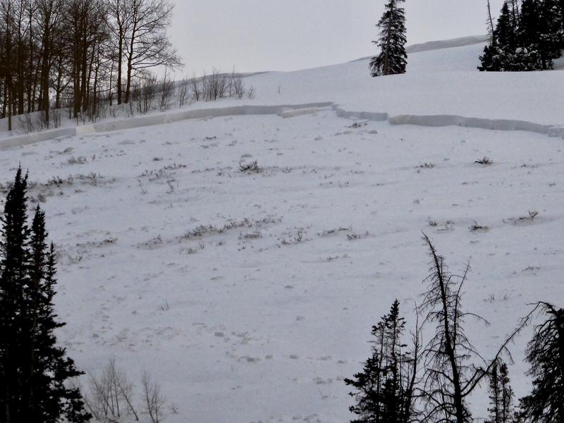
I covered lots of ground yesterday from Huntington Canyon down through Spring City Canyon and found some very large avalanches. You can split them into two categories; new snow avalanches and avalanches that broke into old snow. Wind was a major factor in all of them.
First, I found a number of avalanches where only the new wind drifted snow avalanched. This type of avalanche is a fairly common occurrence. These new snow avalanches generally stabilize fairly rapidly.
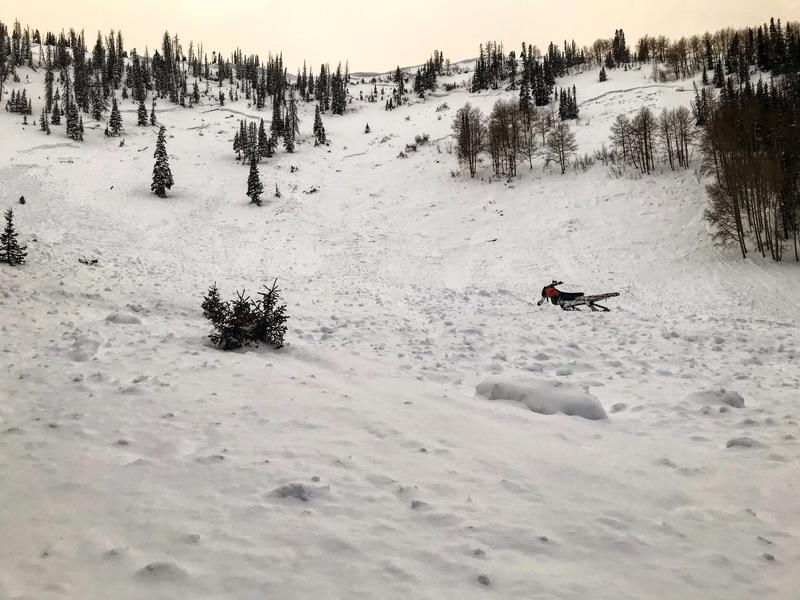
Below: Wind drifted snow avalanches in upper Rolfson Canyon
Next, I started finding larger avalanches that broke deep into our buried "persistent weak layer" from mid December. These are a much more serious situation as these deeply buried weak layers of sugary snow are much harder to predict when they will avalanche and for how long will they continue to produce avalanches. The avalanches that I found were a result of a massive amount of snow loaded onto the slopes from strong southerly wind Thursday night into Friday morning.
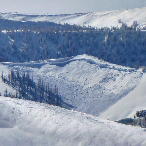
Below: Numerous avalanches in Cow Fork of Cedar Creek. A couple of these cleaned out the entire winter's snowpack to the ground.
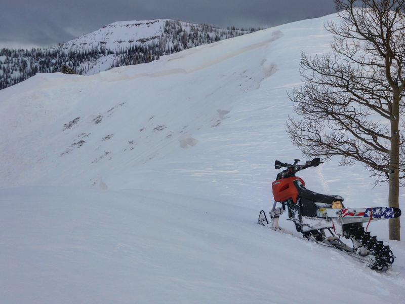
Below: Large avalanche in the South Fork of Spring City Canyon that broke into weak sugary snow from mid December.